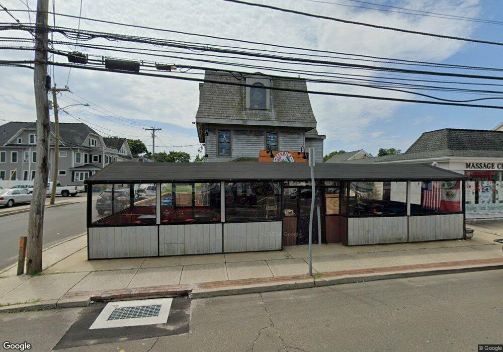
1851 Post Rd Fairfield, CT 06824
Fairfield Center NeighborhoodEstimated Value: $863,428
About This Home
This home is located at 1851 Post Rd, Fairfield, CT 06824 and is currently estimated at $863,428, approximately $343 per square foot. 1851 Post Rd is a home located in Fairfield County with nearby schools including Riverfield Elementary School, Roger Ludlowe Middle School, and Fairfield Ludlowe High School.
Ownership History
We collect this data history from publicly available records. To have your information removed, we recommend requesting removal directly through your county’s website.
Purchase Details
Purchase Details
Home Values in the Area
Average Home Value in this Area
Purchase History
We collect this data history from publicly available records. To have your information removed, we recommend requesting removal directly through your county’s website.
| Date | Buyer | Sale Price | Title Company |
|---|---|---|---|
| -- | -- | ||
| -- | -- | ||
| $220,000 | -- | ||
| $220,000 | -- |
Mortgage History
We collect this data history from publicly available records. To have your information removed, we recommend requesting removal directly through your county’s website.
| Date | Status | Borrower | Loan Amount |
|---|---|---|---|
| Previous Owner | $141,000 | ||
| Previous Owner | $154,000 |
Tax History
We collect this data history from publicly available records. To have your information removed, we recommend requesting removal directly through your county’s website.
| Year | Tax Paid | Tax Assessment Tax Assessment Total Assessment is a certain percentage of the fair market value that is determined by local assessors to be the total taxable value of land and additions on the property. | Land | Improvement |
|---|---|---|---|---|
| 2025 | $19,177 | $675,500 | $473,550 | $201,950 |
| 2024 | $18,846 | $675,500 | $473,550 | $201,950 |
| 2023 | $18,583 | $675,500 | $473,550 | $201,950 |
| 2022 | $18,401 | $675,500 | $473,550 | $201,950 |
| 2021 | $18,225 | $675,500 | $473,550 | $201,950 |
| 2020 | $16,094 | $600,740 | $418,810 | $181,930 |
| 2019 | $16,094 | $600,740 | $418,810 | $181,930 |
| 2018 | $15,836 | $600,740 | $418,810 | $181,930 |
| 2017 | $15,511 | $600,740 | $418,810 | $181,930 |
| 2016 | $15,289 | $600,740 | $418,810 | $181,930 |
| 2015 | $15,411 | $621,670 | $451,430 | $170,240 |
| 2014 | $15,169 | $621,670 | $451,430 | $170,240 |
Map
- 79 Thorpe St
- 18 Hurd St
- 164 Ludlowe Rd
- 120 S Pine Creek Rd
- 57 Beaumont Place
- 79 Fairfield Place
- 385 Unquowa Rd Unit 385
- 245 Unquowa Rd Unit 44
- 245 Unquowa Rd Unit 126
- 104 Henderson Rd
- 102 Geneva Terrace
- 464 Ruane St
- 76 Geneva Terrace
- 70 Flax Rd
- 98 Sasco Hill Terrace
- 38 James St
- 888 Oldfield Rd
- 823 Oldfield Rd
- 7 Ennis Ln
- 187 Catherine Terrace
- 1873 Post Rd
- 27 Bungalow Ave
- 29 Bungalow Ave Unit 3
- 29 Bungalow Ave
- 1827 Post Rd
- 25 Bungalow Ave
- 25 Bungalow Ave Unit 1
- 25 Bungalow Ave Unit 27
- 25 Bungalow Ave Unit 29
- 33 Bungalow Ave
- 46 Bungalow Ave
- 44 Bungalow Ave
- 44 Bungalow Ave Unit 2
- 1828 Post Rd
- 45 Bungalow Ave
- 1809 Post Rd
- 54 Bungalow Ave
- 30 Thorpe St
- 55 Bungalow Ave
- 53 Bungalow Ave
Ask me questions while you tour the home.