18519 Dusty Rd Locust, NC 28097
Estimated Value: $304,000 - $557,790
2
Beds
1
Bath
1,260
Sq Ft
$312/Sq Ft
Est. Value
About This Home
This home is located at 18519 Dusty Rd, Locust, NC 28097 and is currently estimated at $393,448, approximately $312 per square foot. 18519 Dusty Rd is a home located in Stanly County with nearby schools including Locust Elementary School, West Stanly Middle School, and West Stanly High School.
Ownership History
Date
Name
Owned For
Owner Type
Purchase Details
Closed on
Dec 21, 2022
Sold by
Parker Family Trust
Bought by
Medlin Sylvia Parker
Current Estimated Value
Purchase Details
Closed on
Jan 29, 2019
Sold by
Efird Noreta S
Bought by
Efird Stanly Kermit
Create a Home Valuation Report for This Property
The Home Valuation Report is an in-depth analysis detailing your home's value as well as a comparison with similar homes in the area
Home Values in the Area
Average Home Value in this Area
Purchase History
| Date | Buyer | Sale Price | Title Company |
|---|---|---|---|
| Medlin Sylvia Parker | -- | -- | |
| Medlin Sylvia Parker | -- | None Listed On Document | |
| Efird Stanly Kermit | -- | None Available |
Source: Public Records
Tax History
| Year | Tax Paid | Tax Assessment Tax Assessment Total Assessment is a certain percentage of the fair market value that is determined by local assessors to be the total taxable value of land and additions on the property. | Land | Improvement |
|---|---|---|---|---|
| 2025 | $984 | $149,130 | $65,980 | $83,150 |
| 2024 | $762 | $105,792 | $53,400 | $52,392 |
| 2023 | $859 | $105,792 | $53,400 | $52,392 |
| 2022 | $859 | $105,792 | $53,400 | $52,392 |
| 2021 | $857 | $105,792 | $53,400 | $52,392 |
| 2020 | $773 | $88,579 | $48,110 | $40,469 |
| 2019 | $236 | $88,579 | $48,110 | $40,469 |
| 2018 | $691 | $88,579 | $48,110 | $40,469 |
| 2017 | $691 | $88,579 | $48,110 | $40,469 |
| 2016 | $658 | $86,616 | $46,260 | $40,356 |
| 2015 | $736 | $86,616 | $46,260 | $40,356 |
| 2014 | $655 | $86,616 | $46,260 | $40,356 |
Source: Public Records
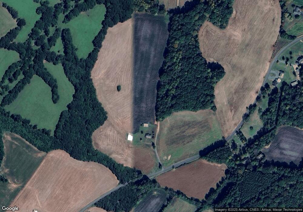
Map
Nearby Homes
- 00 Ridgecrest Rd
- 16351 Substation Rd
- 16659 Five Point Rd
- 16138 Substation Rd
- Parcel 2 Birdhouse Ln
- Parcel 1 Birdhouse Ln
- 24910 Birdhouse Ln Unit 1
- VACANT LAND Pole Running Rd
- 20420 Ridgecrest Rd
- 00 Bridge Rd
- VAC Ridgebrook Ln
- 21083 Running Creek Dr
- 21072 Running Creek Dr
- 20289 Running Creek Church Rd
- 21064 Running Creek Dr
- 21079 Running Creek Dr
- 21056 Running Creek Dr
- 21048 Running Creek Dr
- 20673 Sam Rd
- Vacant Biles Rd Unit 4
- 18519B Dusty Rd
- 18658B Dusty Rd
- 18658 Dusty Rd
- 18670 Dusty Rd
- 18642 Dusty Rd
- 18686 Dusty Rd
- 18777 Dusty Rd
- 25150 Millingport Rd
- 25224 Millingport Rd
- 18580 Dusty Rd
- 25088 Millingport Rd
- 18590 Dusty Rd
- 18793 Dusty Rd
- 25119 Millingport Rd
- 25300 Millingport Rd
- 18799 Dusty Rd
- 26927 Peaceful Ln
- 25099 Millingport Rd
- 25079 Millingport Rd Unit 1
- 25289 Millingport Rd
Your Personal Tour Guide
Ask me questions while you tour the home.