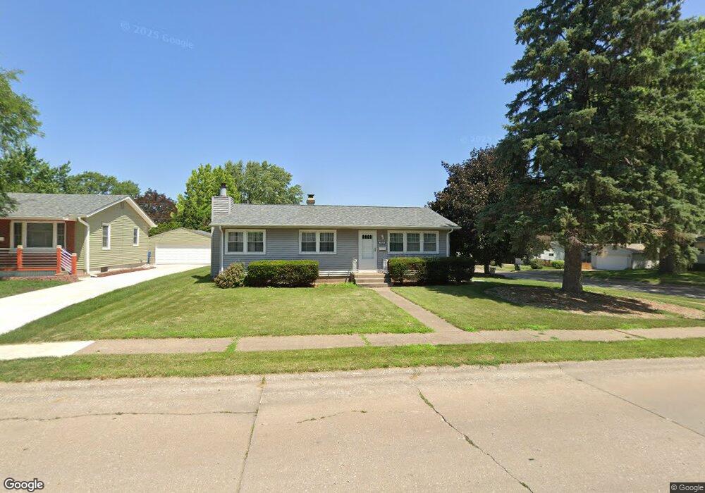
1852 E 31st St Davenport, IA 52807
North Side NeighborhoodEstimated Value: $184,000 - $250,000
3
Beds
2
Baths
2,080
Sq Ft
$105/Sq Ft
Est. Value
About This Home
This home is located at 1852 E 31st St, Davenport, IA 52807 and is currently estimated at $217,518, approximately $104 per square foot. 1852 E 31st St is a home located in Scott County with nearby schools including Jones Park Elementary School, Eisenhower Elementary School, and Casey County Middle School.
Ownership History
Date
Name
Owned For
Owner Type
Purchase Details
Closed on
Nov 14, 2024
Sold by
Zero Properties Llc
Bought by
Matlock Michael and Matlock Joan
Current Estimated Value
Home Financials for this Owner
Home Financials are based on the most recent Mortgage that was taken out on this home.
Original Mortgage
$168,750
Outstanding Balance
$167,039
Interest Rate
6.54%
Mortgage Type
New Conventional
Estimated Equity
$50,479
Purchase Details
Closed on
Feb 14, 2024
Sold by
Larsen Joan Eileen
Bought by
Zero Properties Llc
Create a Home Valuation Report for This Property
The Home Valuation Report is an in-depth analysis detailing your home's value as well as a comparison with similar homes in the area
Home Values in the Area
Average Home Value in this Area
Purchase History
| Date | Buyer | Sale Price | Title Company |
|---|---|---|---|
| Matlock Michael | $225,000 | None Listed On Document | |
| Zero Properties Llc | $189,000 | None Listed On Document |
Source: Public Records
Mortgage History
| Date | Status | Borrower | Loan Amount |
|---|---|---|---|
| Open | Matlock Michael | $168,750 |
Source: Public Records
Tax History Compared to Growth
Tax History
| Year | Tax Paid | Tax Assessment Tax Assessment Total Assessment is a certain percentage of the fair market value that is determined by local assessors to be the total taxable value of land and additions on the property. | Land | Improvement |
|---|---|---|---|---|
| 2025 | $3,426 | $209,270 | $36,900 | $172,370 |
| 2024 | $3,010 | $191,680 | $36,900 | $154,780 |
| 2023 | $3,192 | $191,680 | $36,900 | $154,780 |
| 2022 | $2,944 | $161,690 | $33,210 | $128,480 |
| 2021 | $2,944 | $149,590 | $33,210 | $116,380 |
| 2020 | $2,706 | $136,750 | $33,210 | $103,540 |
| 2019 | $2,636 | $129,220 | $33,210 | $96,010 |
| 2018 | $2,470 | $129,220 | $33,210 | $96,010 |
| 2017 | $2,414 | $124,510 | $33,210 | $91,300 |
| 2016 | $2,196 | $112,320 | $0 | $0 |
| 2015 | $2,196 | $118,620 | $0 | $0 |
| 2014 | $2,368 | $118,620 | $0 | $0 |
| 2013 | $2,320 | $0 | $0 | $0 |
| 2012 | -- | $123,820 | $30,480 | $93,340 |
Source: Public Records
Map
Nearby Homes
- 1804 E 31st St
- 3044 Jersey Ridge Rd
- 2946 Jersey Ridge Rd
- 2130 E 38th St
- 2501 E 34th Street Ct
- 1227 E Kimberly Rd
- 2706 Ridgewood Ave
- 2586 E George Washington Blvd
- 2734 Bridge Ave
- 2506 E 35th Street Ct
- 3553 Kimberly Downs Rd
- 2429 E Central Park Ave
- 2103 E Lombard St
- 2805 Carriage Hill Dr
- 9 Parkwood Dr
- 3806 Lorton Ave
- 1021 E Central Park Ave
- 2125 Eastern Ave
- 3315 Fairhaven Rd
- 2723 Arlington Ave