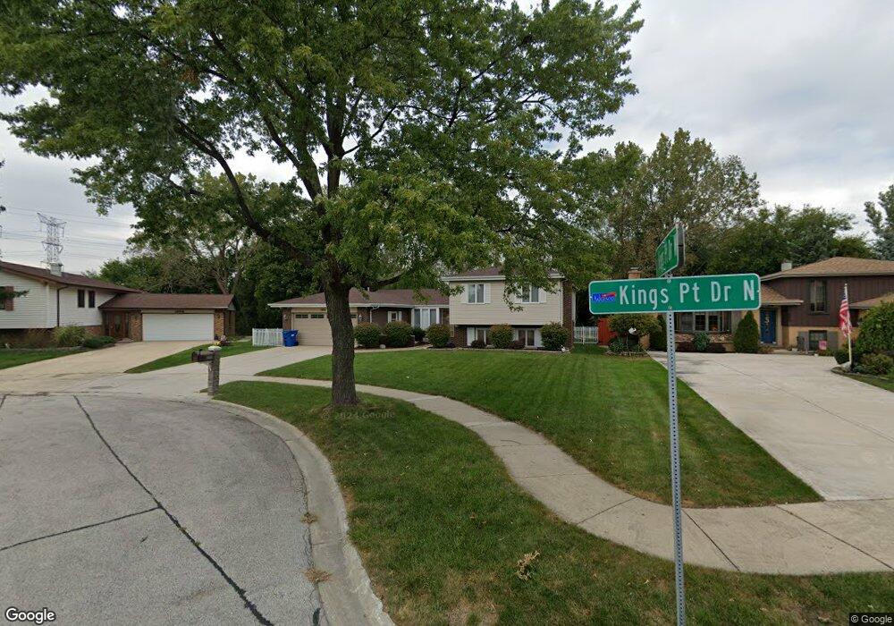
1852 Kings Point Dr N Addison, IL 60101
Estimated Value: $463,409 - $487,000
4
Beds
3
Baths
2,409
Sq Ft
$196/Sq Ft
Est. Value
About This Home
This home is located at 1852 Kings Point Dr N, Addison, IL 60101 and is currently estimated at $473,352, approximately $196 per square foot. 1852 Kings Point Dr N is a home located in DuPage County with nearby schools including Stone Elementary School, Indian Trail Jr High School, and Addison Trail High School.
Ownership History
Date
Name
Owned For
Owner Type
Purchase Details
Closed on
May 19, 2025
Sold by
Peto Lynn and Peto Kevin B
Bought by
Kevin Peto Trust and Lynn Peto Trust
Current Estimated Value
Purchase Details
Closed on
Jun 17, 2005
Sold by
Collatz Steve
Bought by
Peto Kevin B and Ratzlaff Lynn
Home Financials for this Owner
Home Financials are based on the most recent Mortgage that was taken out on this home.
Original Mortgage
$288,000
Interest Rate
5.75%
Mortgage Type
Fannie Mae Freddie Mac
Purchase Details
Closed on
Apr 8, 2004
Sold by
Mohammed Saleem and Mohammed Saleema
Bought by
Collatz Steve
Home Financials for this Owner
Home Financials are based on the most recent Mortgage that was taken out on this home.
Original Mortgage
$218,900
Interest Rate
3.62%
Mortgage Type
Purchase Money Mortgage
Create a Home Valuation Report for This Property
The Home Valuation Report is an in-depth analysis detailing your home's value as well as a comparison with similar homes in the area
Home Values in the Area
Average Home Value in this Area
Purchase History
| Date | Buyer | Sale Price | Title Company |
|---|---|---|---|
| Kevin Peto Trust | -- | None Listed On Document | |
| Peto Kevin B | $375,000 | Atg | |
| Collatz Steve | $274,000 | -- |
Source: Public Records
Mortgage History
| Date | Status | Borrower | Loan Amount |
|---|---|---|---|
| Previous Owner | Peto Kevin B | $288,000 | |
| Previous Owner | Collatz Steve | $218,900 |
Source: Public Records
Tax History Compared to Growth
Tax History
| Year | Tax Paid | Tax Assessment Tax Assessment Total Assessment is a certain percentage of the fair market value that is determined by local assessors to be the total taxable value of land and additions on the property. | Land | Improvement |
|---|---|---|---|---|
| 2024 | $8,763 | $132,980 | $38,491 | $94,489 |
| 2023 | $8,319 | $121,610 | $35,200 | $86,410 |
| 2022 | $8,142 | $116,450 | $34,980 | $81,470 |
| 2021 | $7,737 | $110,640 | $33,230 | $77,410 |
| 2020 | $7,667 | $107,940 | $32,420 | $75,520 |
| 2019 | $7,635 | $103,720 | $31,150 | $72,570 |
| 2018 | $7,276 | $95,310 | $28,620 | $66,690 |
| 2017 | $6,870 | $88,340 | $26,530 | $61,810 |
| 2016 | $6,686 | $81,750 | $24,550 | $57,200 |
| 2015 | $6,592 | $76,290 | $22,910 | $53,380 |
| 2014 | $6,173 | $71,310 | $22,070 | $49,240 |
| 2013 | $6,138 | $73,740 | $22,820 | $50,920 |
Source: Public Records
Map
Nearby Homes
- 953 N Rohlwing Rd Unit GB
- 953 N Rohlwing Rd Unit 201A
- 943 N Rohlwing Rd Unit 101H
- 823 N Cambridge Row
- 802 N Tamarac Blvd Unit Z5
- 865 N Tamarac Blvd
- 881 N Swift Rd Unit 306
- 881 N Swift Rd Unit 106
- 941 N Swift Rd Unit 301
- 1741 W Goldengate Dr Unit 2
- 1795 W Jo Ann Ln
- 1701 W Goldengate Dr
- 1750 W Woodland Ave
- 1560 W Goldengate Dr
- 1711 W Woodland Ave
- 1660 W Prescott Place
- 522 N Castle Rd
- 1205 Scarlet Dr
- 5N260 Eagle Terrace
- 5N210 Central Rd
- 1854 Kings Point Dr N
- 1850 Kings Point Dr N
- 1846 Kings Point Dr N
- 864 Kings Point Dr W
- 860 Kings Point Dr W
- 1851 Kings Point Dr N
- 1842 Kings Point Dr N
- 857 Kings Point Dr W
- 856 Kings Point Dr W
- 1843 Kings Point Dr N
- 1838 Kings Point Dr N
- 853 Kings Point Dr W
- 852 Kings Point Dr W
- 974 N Rohlwing Rd Unit 101B
- 975 N Rohlwing Rd Unit 101A
- 973 N Rohlwing Rd Unit 101
- 971 N Rohlwing Rd Unit GB
- 975 N Rohlwing Rd Unit GA
- 971 N Rohlwing Rd Unit 201B
- 975 N Rohlwing Rd Unit 201B