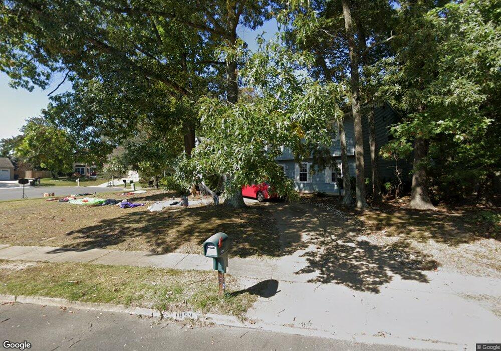
1853 Forest Dr Williamstown, NJ 08094
Monroe NeighborhoodEstimated Value: $431,000 - $581,000
4
Beds
3
Baths
3,201
Sq Ft
$159/Sq Ft
Est. Value
About This Home
This home is located at 1853 Forest Dr, Williamstown, NJ 08094 and is currently estimated at $507,629, approximately $158 per square foot. 1853 Forest Dr is a home located in Gloucester County with nearby schools including Williamstown High School, St. Mary School, and Finest of the Wheat Christian.
Ownership History
Date
Name
Owned For
Owner Type
Purchase Details
Closed on
Nov 20, 2006
Sold by
Locantore Frank
Bought by
Locantore Frank and Locantore Sean
Current Estimated Value
Home Financials for this Owner
Home Financials are based on the most recent Mortgage that was taken out on this home.
Original Mortgage
$172,000
Outstanding Balance
$102,595
Interest Rate
6.36%
Mortgage Type
Purchase Money Mortgage
Estimated Equity
$405,034
Purchase Details
Closed on
Jul 22, 2005
Sold by
Locantore Sean
Bought by
Sean Locantore
Purchase Details
Closed on
Jun 18, 1997
Sold by
Angelozzi Stephen R and Angelozzi Debra A
Bought by
Locantore Sean and Locantore Cheryl
Home Financials for this Owner
Home Financials are based on the most recent Mortgage that was taken out on this home.
Original Mortgage
$118,750
Interest Rate
7.86%
Mortgage Type
Purchase Money Mortgage
Create a Home Valuation Report for This Property
The Home Valuation Report is an in-depth analysis detailing your home's value as well as a comparison with similar homes in the area
Home Values in the Area
Average Home Value in this Area
Purchase History
| Date | Buyer | Sale Price | Title Company |
|---|---|---|---|
| Locantore Frank | -- | -- | |
| Sean Locantore | -- | -- | |
| Locantore Sean | $125,000 | -- |
Source: Public Records
Mortgage History
| Date | Status | Borrower | Loan Amount |
|---|---|---|---|
| Open | Locantore Frank | $172,000 | |
| Previous Owner | Locantore Sean | $118,750 |
Source: Public Records
Tax History
| Year | Tax Paid | Tax Assessment Tax Assessment Total Assessment is a certain percentage of the fair market value that is determined by local assessors to be the total taxable value of land and additions on the property. | Land | Improvement |
|---|---|---|---|---|
| 2025 | $8,869 | $242,200 | $52,000 | $190,200 |
| 2024 | $8,804 | $242,200 | $52,000 | $190,200 |
| 2023 | $8,804 | $242,200 | $52,000 | $190,200 |
| 2022 | $8,763 | $242,200 | $52,000 | $190,200 |
| 2021 | $8,438 | $242,200 | $52,000 | $190,200 |
| 2020 | $8,809 | $242,200 | $52,000 | $190,200 |
| 2019 | $8,756 | $242,200 | $52,000 | $190,200 |
| 2018 | $8,613 | $242,200 | $52,000 | $190,200 |
| 2017 | $8,331 | $235,200 | $61,400 | $173,800 |
| 2016 | $8,225 | $235,200 | $61,400 | $173,800 |
| 2015 | $7,990 | $235,200 | $61,400 | $173,800 |
| 2014 | $7,757 | $235,200 | $61,400 | $173,800 |
Source: Public Records
Map
Nearby Homes
- 206 Raphael Ct
- 510 Degas Ct
- 1735 Black Oak Rd
- 1686 Carriage Dr
- 1638 Red Oak Rd
- 336 Copperfield Dr
- 248 Karen Dr
- 112 Hemlock Dr
- 501 Stockton Dr
- 415 Stockton Loop
- 971 N Beecham Rd
- 1018 Micawber Dr
- 1851 S Black Horse Pk Pike
- 943 Sykesville Rd
- 308 Thackeray Ln
- 0 Black Horse Pike Unit NJGL2064300
- 0 Black Horse Pike Unit NJGL2064170
- 910 Thoreau Ln
- 921 N Beecham Rd
- 425 Longfellow Dr
Your Personal Tour Guide
Ask me questions while you tour the home.