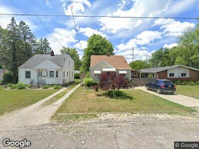
1853 Harlan Rd Toledo, OH 43615
Reynolds Corners NeighborhoodEstimated Value: $85,000 - $136,000
3
Beds
1
Bath
1,180
Sq Ft
$91/Sq Ft
Est. Value
About This Home
This home is located at 1853 Harlan Rd, Toledo, OH 43615 and is currently estimated at $107,097, approximately $90 per square foot. 1853 Harlan Rd is a home located in Lucas County with nearby schools including Hawkins Elementary School, Rogers High School, and Horizon Science Academy-Springfield.
Ownership History
Date
Name
Owned For
Owner Type
Purchase Details
Closed on
Aug 20, 2021
Sold by
Steinfurth Dale E and Steinfurth Shirley A
Bought by
Hobson Heather B
Current Estimated Value
Home Financials for this Owner
Home Financials are based on the most recent Mortgage that was taken out on this home.
Original Mortgage
$48,000
Outstanding Balance
$37,929
Interest Rate
2.2%
Mortgage Type
New Conventional
Estimated Equity
$79,247
Create a Home Valuation Report for This Property
The Home Valuation Report is an in-depth analysis detailing your home's value as well as a comparison with similar homes in the area
Home Values in the Area
Average Home Value in this Area
Purchase History
| Date | Buyer | Sale Price | Title Company |
|---|---|---|---|
| Hobson Heather B | $60,000 | First American Title Ins Co |
Source: Public Records
Mortgage History
| Date | Status | Borrower | Loan Amount |
|---|---|---|---|
| Open | Hobson Heather B | $48,000 | |
| Previous Owner | Steinfurth Dale E | $25,125 | |
| Previous Owner | Steinfurth Dale E | $96,000 | |
| Previous Owner | Steinfurth Dale E | $80,000 | |
| Previous Owner | Steinfurth Dale E | $10,000 |
Source: Public Records
Tax History Compared to Growth
Tax History
| Year | Tax Paid | Tax Assessment Tax Assessment Total Assessment is a certain percentage of the fair market value that is determined by local assessors to be the total taxable value of land and additions on the property. | Land | Improvement |
|---|---|---|---|---|
| 2024 | $879 | $28,175 | $5,775 | $22,400 |
| 2023 | $1,817 | $28,140 | $5,040 | $23,100 |
| 2022 | $1,807 | $28,140 | $5,040 | $23,100 |
| 2021 | $1,333 | $28,140 | $5,040 | $23,100 |
| 2020 | $1,164 | $23,275 | $4,165 | $19,110 |
| 2019 | $1,124 | $23,275 | $4,165 | $19,110 |
| 2018 | $1,148 | $23,275 | $4,165 | $19,110 |
| 2017 | $1,149 | $23,100 | $4,725 | $18,375 |
| 2016 | $1,157 | $66,000 | $13,500 | $52,500 |
| 2015 | $1,166 | $66,000 | $13,500 | $52,500 |
| 2014 | $903 | $23,110 | $4,730 | $18,380 |
| 2013 | $903 | $23,110 | $4,730 | $18,380 |
Source: Public Records
Map
Nearby Homes
- 1727 Harlan Rd
- 2003 Rivard Rd
- 1910 Eileen Rd
- 4749 W Bancroft St
- 5336 Rondeau St
- 5353 Darlene Dr
- 5318 Brandon Rd
- 5013 Brandon Rd
- 5 Stableside S
- 4860 Airport Hwy
- 2263 Country Squire Ln
- 2 Stableside S
- 2029 W Terrace View St
- 906 Harrow Rd
- 627 Sibley Rd
- 17 Stableside N
- 2456 Kimberly Dr
- 5553 N Citation Rd
- 4236 S Terrace View St
- 4343 W Bancroft St Unit 4G