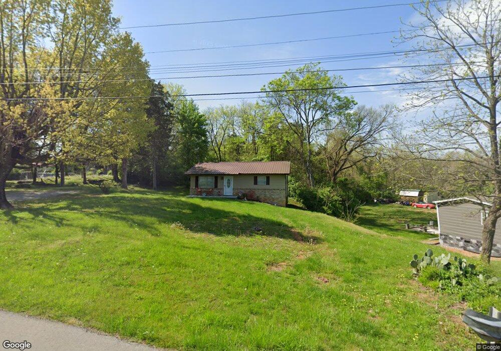
1853 Thomas R James Dr Morristown, TN 37813
Estimated Value: $121,000 - $170,000
--
Bed
1
Bath
816
Sq Ft
$189/Sq Ft
Est. Value
About This Home
This home is located at 1853 Thomas R James Dr, Morristown, TN 37813 and is currently estimated at $154,466, approximately $189 per square foot. 1853 Thomas R James Dr is a home located in Hamblen County with nearby schools including Lincoln Heights Elementary School, Lincoln Heights Middle School, and Morristown West High School.
Ownership History
Date
Name
Owned For
Owner Type
Purchase Details
Closed on
Jun 18, 2015
Sold by
Cline Gaston
Bought by
Ratliff Sylvia
Current Estimated Value
Purchase Details
Closed on
Feb 5, 2013
Sold by
Cline Fred W
Bought by
Cline Fred W L and %Gaston Cline E
Purchase Details
Closed on
Apr 12, 1973
Bought by
Cline Fred W
Create a Home Valuation Report for This Property
The Home Valuation Report is an in-depth analysis detailing your home's value as well as a comparison with similar homes in the area
Home Values in the Area
Average Home Value in this Area
Purchase History
| Date | Buyer | Sale Price | Title Company |
|---|---|---|---|
| Ratliff Sylvia | $33,600 | -- | |
| Cline Fred W L | -- | -- | |
| Cline Gaston | -- | -- | |
| Cline Fred W | -- | -- |
Source: Public Records
Tax History Compared to Growth
Tax History
| Year | Tax Paid | Tax Assessment Tax Assessment Total Assessment is a certain percentage of the fair market value that is determined by local assessors to be the total taxable value of land and additions on the property. | Land | Improvement |
|---|---|---|---|---|
| 2024 | $188 | $10,700 | $3,425 | $7,275 |
| 2023 | $188 | $10,700 | $0 | $0 |
| 2022 | $338 | $10,700 | $3,425 | $7,275 |
| 2021 | $338 | $10,700 | $3,425 | $7,275 |
| 2020 | $337 | $10,700 | $3,425 | $7,275 |
| 2019 | $340 | $10,000 | $4,350 | $5,650 |
| 2018 | $315 | $10,000 | $4,350 | $5,650 |
| 2017 | $294 | $9,475 | $4,350 | $5,125 |
| 2016 | $281 | $9,475 | $4,350 | $5,125 |
| 2015 | $261 | $9,475 | $4,350 | $5,125 |
| 2014 | -- | $9,475 | $4,350 | $5,125 |
| 2013 | -- | $10,475 | $0 | $0 |
Source: Public Records
Map
Nearby Homes
- 440 S Fairmont Ave
- 1530 Rayburn Dr
- Darwin Plan at Southwood
- Penwell Plan at Southwood
- Elston Plan at Southwood
- Robie Plan at Southwood
- Cali Plan at Southwood
- Belhaven Plan at Southwood
- 1049 Greenway Dr
- 1476 Darbee Dr
- 2018 Southwood Cir
- 837 Pauline Ave
- 1211 W 6th St N
- 2310 Sandstone Dr
- 2444 Sandstone Dr
- 2454 Sandstone Dr
- 2430 Sandstone Dr
- 707 Walters Dr
- 2045 N Economy Rd Unit A3
- 1442 Darbee Dr
- 1821 Thomas R James Dr
- 1840 Thomas R James Dr
- 1887 Thomas R James Dr
- 1882 Thomas R James Dr
- 910 Neikirk Dr
- 918 Neikirk Dr
- 0 Neikirk Dr
- 1895 Thomas R James Dr
- 1719 Thomas R James Dr
- 0 Thomas R James Dr
- 922 Neikirk Dr
- 1684 Bishop Ln
- 909 Neikirk Dr
- 926 Neikirk Dr
- 954 Neikirk Dr
- 962 Neikirk Dr
- 1702 Thomas R James Dr
- 1703 Thomas R James Dr
- 950 Neikirk Dr
- 1925 Thomas R James Dr