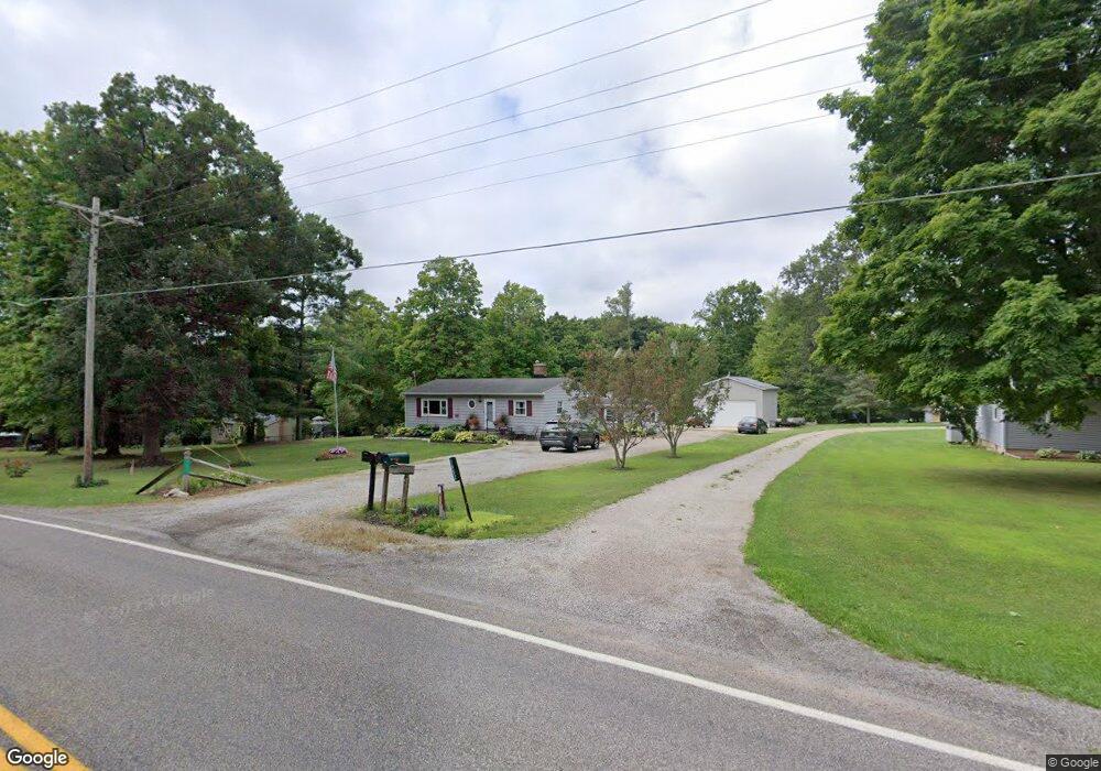
1854 County Road 1095 Ashland, OH 44805
Estimated Value: $253,000 - $289,000
3
Beds
1
Bath
1,544
Sq Ft
$173/Sq Ft
Est. Value
About This Home
This home is located at 1854 County Road 1095, Ashland, OH 44805 and is currently estimated at $267,588, approximately $173 per square foot. 1854 County Road 1095 is a home located in Ashland County with nearby schools including Hillsdale Elementary School, Hillsdale Middle School, and Hillsdale High School.
Ownership History
Date
Name
Owned For
Owner Type
Purchase Details
Closed on
Jun 13, 2025
Sold by
Harned Michael B and Harned Denise N
Bought by
Harned Michael B and Harned Denise N
Current Estimated Value
Purchase Details
Closed on
Jul 17, 2008
Sold by
Harned Michael B and Harned Cynthia M
Bought by
Harned Michael B
Purchase Details
Closed on
Jul 12, 1996
Sold by
Bowman Tami L
Bought by
Harned Michael B
Purchase Details
Closed on
Jun 30, 1992
Bought by
Bowman Tami L
Create a Home Valuation Report for This Property
The Home Valuation Report is an in-depth analysis detailing your home's value as well as a comparison with similar homes in the area
Home Values in the Area
Average Home Value in this Area
Purchase History
| Date | Buyer | Sale Price | Title Company |
|---|---|---|---|
| Harned Michael B | -- | Heartland Title | |
| Harned Michael B | -- | -- | |
| Harned Michael B | $78,000 | -- | |
| Bowman Tami L | $68,700 | -- |
Source: Public Records
Tax History Compared to Growth
Tax History
| Year | Tax Paid | Tax Assessment Tax Assessment Total Assessment is a certain percentage of the fair market value that is determined by local assessors to be the total taxable value of land and additions on the property. | Land | Improvement |
|---|---|---|---|---|
| 2024 | $1,858 | $55,830 | $14,630 | $41,200 |
| 2023 | $1,858 | $55,830 | $14,630 | $41,200 |
| 2022 | $1,624 | $38,500 | $10,090 | $28,410 |
| 2021 | $1,482 | $35,150 | $10,090 | $25,060 |
| 2020 | $1,390 | $35,150 | $10,090 | $25,060 |
| 2019 | $1,314 | $32,290 | $9,350 | $22,940 |
| 2018 | $1,270 | $32,290 | $9,350 | $22,940 |
| 2017 | $1,115 | $32,290 | $9,350 | $22,940 |
| 2016 | $1,115 | $28,080 | $8,130 | $19,950 |
| 2015 | $1,101 | $28,080 | $8,130 | $19,950 |
| 2013 | $1,213 | $28,760 | $8,200 | $20,560 |
Source: Public Records
Map
Nearby Homes
- 1106 County Road 30a
- 1183 County Road 30a
- 19 Maine St
- 1015 Township Road 1696
- 1690 County Road 995
- 945 Pike Dr
- 0 Twp Rd 1806 Unit 11591470
- 3290 Shad Dr W
- 1048 Township Road 2156
- 1581 County Road 995
- 820 County Road 30a
- 1696 Township Road 1419
- 775 Touby Ln
- 1653 Ohio 60
- 1653 State Route 60
- 1111 Columbus Cir N
- 1706 Kingwood Ct
- 963 Avalon Dr
- 1852 County Road 1095
- 1858 County Road 1095
- 1850 County Road 1095
- 1846 County Road 1095
- 1853 County Road 1095
- 1857 County Road 1095
- 1841 County Road 1095
- 1870 County Road 1095
- 1835 County Road 1095
- 1835 County Road 1095
- 1880 County Road 1095
- 1833 County Road 1095
- 929 Township Road 1514
- 1821 County Road 1095
- 1153 Township Road 1806
- 1812 County Road 1095
- 1811 County Road 1095
- 1101 County Road 1908
- 0 Township Road 1095 Unit 3082784
- 0 Township Road 1095 Unit 214820