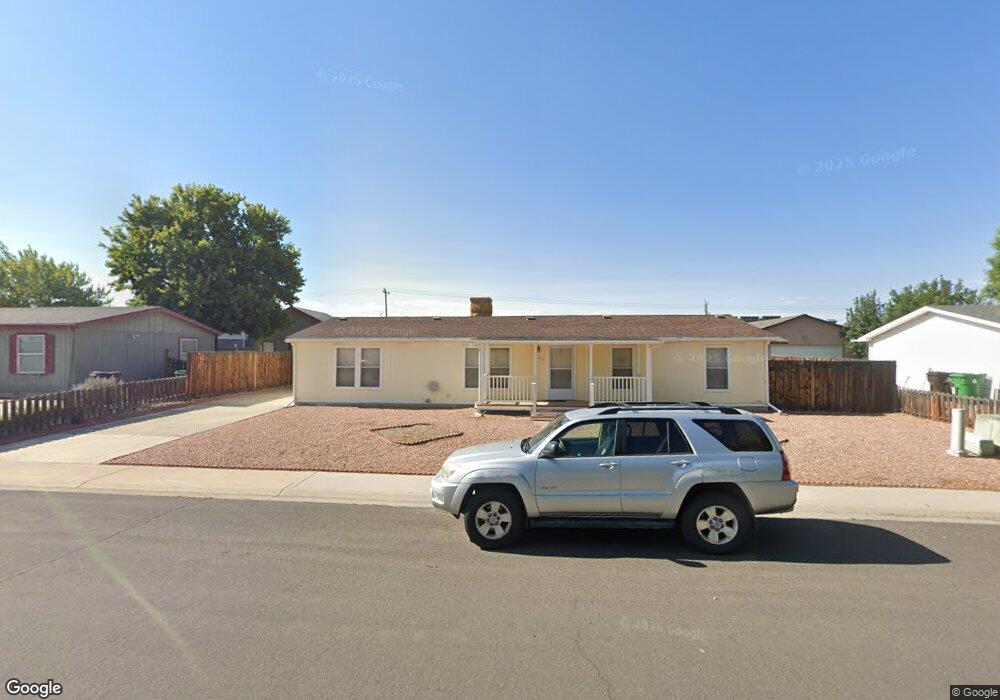
1854 Roxie Dr Montrose, CO 81401
Estimated Value: $217,350 - $362,000
3
Beds
2
Baths
1,512
Sq Ft
$202/Sq Ft
Est. Value
About This Home
This home is located at 1854 Roxie Dr, Montrose, CO 81401 and is currently estimated at $306,088, approximately $202 per square foot. 1854 Roxie Dr is a home located in Montrose County with nearby schools including Cottonwood Elementary School, Columbine Middle School, and Montrose High School.
Ownership History
Date
Name
Owned For
Owner Type
Purchase Details
Closed on
Nov 28, 2005
Sold by
Rodriguez Rudy and Rodriguez Georgia
Bought by
Frank Steven and Bowen Rhonda
Current Estimated Value
Purchase Details
Closed on
May 28, 2004
Sold by
Sutton Gary L
Bought by
Rodriguez Rudy and Rodriguez Georgia
Purchase Details
Closed on
Nov 14, 2000
Sold by
Rodriguez Rudy and Rodriguez Georgia
Bought by
Suton Gary
Purchase Details
Closed on
Nov 21, 1998
Sold by
Brune Casey and Brune Katrina M
Bought by
Rodriguez Rudy and Rodriguez Georgia
Purchase Details
Closed on
Mar 6, 1998
Sold by
H K D Development Inc
Bought by
Brune Casey
Create a Home Valuation Report for This Property
The Home Valuation Report is an in-depth analysis detailing your home's value as well as a comparison with similar homes in the area
Home Values in the Area
Average Home Value in this Area
Purchase History
| Date | Buyer | Sale Price | Title Company |
|---|---|---|---|
| Frank Steven | $93,300 | None Available | |
| Rodriguez Rudy | $82,000 | -- | |
| Suton Gary | $87,000 | -- | |
| Rodriguez Rudy | -- | -- | |
| Brune Casey | $25,900 | -- |
Source: Public Records
Tax History Compared to Growth
Tax History
| Year | Tax Paid | Tax Assessment Tax Assessment Total Assessment is a certain percentage of the fair market value that is determined by local assessors to be the total taxable value of land and additions on the property. | Land | Improvement |
|---|---|---|---|---|
| 2024 | $1,377 | $19,100 | $2,810 | $16,290 |
| 2023 | $1,377 | $23,640 | $3,480 | $20,160 |
| 2022 | $1,150 | $16,470 | $2,430 | $14,040 |
| 2021 | $1,184 | $16,950 | $2,500 | $14,450 |
| 2020 | $921 | $13,540 | $2,070 | $11,470 |
| 2019 | $927 | $13,540 | $2,070 | $11,470 |
| 2018 | $770 | $10,970 | $1,670 | $9,300 |
| 2017 | $764 | $10,970 | $1,670 | $9,300 |
| 2016 | $676 | $9,860 | $1,610 | $8,250 |
| 2015 | $664 | $9,860 | $1,610 | $8,250 |
| 2014 | $581 | $9,230 | $1,610 | $7,620 |
Source: Public Records
Map
Nearby Homes
- TBD Odelle Rd
- TBD Oxbow Dr
- TBD Lot 1 Woodgate Rd
- TBD Lot 3 Woodgate Rd
- TBD Lot 2-2 Woodgate Rd
- TBD Lot 2 Woodgate Rd
- TBD Lot 2-3 Woodgate Rd
- TBD Lot 2-1 Woodgate Rd
- 2707 Abrams Ave
- Lot: 1 Highway 550
- 2669 Lone Cone Ave
- 1649 Sneffels St
- Lot 2305 Painted Wall Ln
- TBD Lot 8 Hawk Pkwy
- TBD Lots 7 & 8 Hawk Pkwy
- TBD Lot 7 Hawk Pkwy
- 1649 Hermosa St
- TBD Otter Pond Cir
- 3038 Glacier Dr
- 1686 Rheims Ct