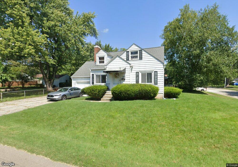
1855 Laird Ave Dayton, OH 45420
Estimated Value: $170,000 - $201,336
3
Beds
2
Baths
1,404
Sq Ft
$135/Sq Ft
Est. Value
About This Home
This home is located at 1855 Laird Ave, Dayton, OH 45420 and is currently estimated at $189,334, approximately $134 per square foot. 1855 Laird Ave is a home located in Montgomery County with nearby schools including Greenmont Elementary School, Kettering Middle School, and Kettering Fairmont High School.
Ownership History
Date
Name
Owned For
Owner Type
Purchase Details
Closed on
Jun 21, 2016
Sold by
Campbell Lynn Raye
Bought by
Weinert Branon
Current Estimated Value
Home Financials for this Owner
Home Financials are based on the most recent Mortgage that was taken out on this home.
Original Mortgage
$63,723
Outstanding Balance
$51,399
Interest Rate
3.99%
Mortgage Type
FHA
Estimated Equity
$137,935
Create a Home Valuation Report for This Property
The Home Valuation Report is an in-depth analysis detailing your home's value as well as a comparison with similar homes in the area
Home Values in the Area
Average Home Value in this Area
Purchase History
| Date | Buyer | Sale Price | Title Company |
|---|---|---|---|
| Weinert Branon | $64,900 | Vantage Land Title |
Source: Public Records
Mortgage History
| Date | Status | Borrower | Loan Amount |
|---|---|---|---|
| Open | Weinert Branon | $63,723 |
Source: Public Records
Tax History Compared to Growth
Tax History
| Year | Tax Paid | Tax Assessment Tax Assessment Total Assessment is a certain percentage of the fair market value that is determined by local assessors to be the total taxable value of land and additions on the property. | Land | Improvement |
|---|---|---|---|---|
| 2024 | $3,480 | $55,880 | $11,120 | $44,760 |
| 2023 | $3,480 | $55,880 | $11,120 | $44,760 |
| 2022 | $2,913 | $36,910 | $7,360 | $29,550 |
| 2021 | $2,695 | $36,910 | $7,360 | $29,550 |
| 2020 | $2,703 | $36,910 | $7,360 | $29,550 |
| 2019 | $2,557 | $30,850 | $7,360 | $23,490 |
| 2018 | $2,571 | $30,850 | $7,360 | $23,490 |
| 2017 | $2,369 | $30,850 | $7,360 | $23,490 |
| 2016 | $2,488 | $30,470 | $7,360 | $23,110 |
| 2015 | $2,378 | $30,470 | $7,360 | $23,110 |
| 2014 | $2,378 | $30,470 | $7,360 | $23,110 |
| 2012 | -- | $28,640 | $7,350 | $21,290 |
Source: Public Records
Map
Nearby Homes
- 2830 Kennedy Ave
- 1513 Horlacher Ave
- 1512 Horlacher Ave
- 1508 Horlacher Ave
- 2603 Kennedy Ave
- 2704 Hazel Ave
- 1300 Watervliet Ave
- 4802 Amesborough Rd
- 4643 Amesborough Rd
- 1840 Culver Ave
- 4549 Amesborough Rd
- 2908 Kingston Ave
- 1108 Chelsea Ave
- 4527 Amesborough Rd
- 1025 Weng Ave
- 1829 Hazel Ave
- 1744 Woodman Dr
- 1012 Chelsea Ave
- 952 Weng Ave
- 934 Weng Ave
- 1537 Norton Ave
- 1535 Norton Ave
- 1601 Norton Ave
- 1529 Norton Ave
- 1611 Norton Ave
- 1701 Laird Ave
- 2750 Ferncliff Ave
- 2744 Ferncliff Ave
- 2800 Ferncliff Ave
- 1527 Norton Ave
- 1615 Norton Ave
- 2740 Ferncliff Ave
- 1540 Norton Ave
- 2804 Ferncliff Ave
- 1532 Norton Ave
- 2736 Ferncliff Ave
- 1600 Norton Ave
- 2808 Ferncliff Ave
- 1521 Norton Ave
- 1621 Norton Ave