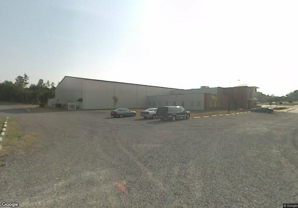
1855 Lewisville Clemmons Rd Clemmons, NC 27012
Estimated Value: $4,703,981
4
Beds
2
Baths
2,240
Sq Ft
$2,100/Sq Ft
Est. Value
About This Home
This home is located at 1855 Lewisville Clemmons Rd, Clemmons, NC 27012 and is currently priced at $4,703,981, approximately $2,099 per square foot. 1855 Lewisville Clemmons Rd is a home located in Forsyth County with nearby schools including Southwest Elementary, Meadowlark Middle School, and West Forsyth High.
Ownership History
Date
Name
Owned For
Owner Type
Purchase Details
Closed on
Jan 3, 2003
Sold by
River Oaks Community Church Inc
Bought by
River Oaks Community Church Inc
Current Estimated Value
Home Financials for this Owner
Home Financials are based on the most recent Mortgage that was taken out on this home.
Original Mortgage
$125,000
Outstanding Balance
$52,727
Interest Rate
5.99%
Create a Home Valuation Report for This Property
The Home Valuation Report is an in-depth analysis detailing your home's value as well as a comparison with similar homes in the area
Home Values in the Area
Average Home Value in this Area
Purchase History
| Date | Buyer | Sale Price | Title Company |
|---|---|---|---|
| River Oaks Community Church Inc | -- | -- |
Source: Public Records
Mortgage History
| Date | Status | Borrower | Loan Amount |
|---|---|---|---|
| Open | River Oaks Community Church Inc | $125,000 |
Source: Public Records
Tax History Compared to Growth
Tax History
| Year | Tax Paid | Tax Assessment Tax Assessment Total Assessment is a certain percentage of the fair market value that is determined by local assessors to be the total taxable value of land and additions on the property. | Land | Improvement |
|---|---|---|---|---|
| 2025 | $9,002 | $11,807,600 | $627,900 | $11,179,700 |
| 2024 | $9,002 | $9,732,700 | $665,800 | $9,066,900 |
| 2023 | $9,002 | $9,732,700 | $665,800 | $9,066,900 |
| 2022 | $9,002 | $0 | $0 | $0 |
| 2021 | $9,002 | $0 | $0 | $0 |
| 2020 | $6,905 | $8,828,600 | $631,800 | $8,196,800 |
| 2019 | $6,632 | $8,828,600 | $631,800 | $8,196,800 |
| 2018 | $6,480 | $8,828,600 | $631,800 | $8,196,800 |
| 2016 | $6,333 | $7,397,579 | $586,822 | $6,810,757 |
| 2015 | -- | $7,397,579 | $586,822 | $6,810,757 |
| 2014 | -- | $7,397,579 | $586,822 | $6,810,757 |
Source: Public Records
Map
Nearby Homes
- 2566 Brook Stone Dr
- 975 Boyer Dr
- 1720 Lower Brook Dr
- 816 Newington Dr
- 150 Lower Brook Ct
- 3606 Townland Cir
- 3619 Townland Cir Unit 26
- 3613 Townland Cir
- 3607 Townland Cir
- 3600 Townland Cir
- 2512 Newington Ct
- 3601 Townland Cir
- Finley Plan at Springfield Village
- Addison Plan at Springfield Village
- 3515 Townland Cir
- 1759 Ramhurst Dr
- 3584 Townland Cir
- 5700, 6020, 0 Springfield Farm Rd
- 3522 Townland Cir
- 3528 Townland Cir
- 1871 Lewisville Clemmons Rd
- 6701 Foxboro Ln
- 6700 Foxboro Ln
- 1825 Lewisville Clemmons Rd
- 6809 Elm Hill Dr
- 6784 Forest Oak Dr
- 6780 Forest Oak Dr
- 6788 Forest Oak Dr
- 6801 Elm Hill Dr
- 6772 Forest Oak Dr
- 1875 Lewisville Clemmons Rd
- 2500 Brook Stone Dr
- 6794 Forest Oak Dr
- 2506 Brook Stone Dr
- 6749 Elm Hill Dr
- 6768 Forest Oak Dr
- 2512 Brook Stone Dr
- 6741 Elm Hill Dr
- 1870 Lewisville Clemmons Rd
- 2518 Brook Stone Dr