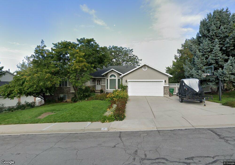
1855 N 690 E Orem, UT 84097
Northridge NeighborhoodEstimated Value: $695,693 - $830,000
3
Beds
4
Baths
1,922
Sq Ft
$409/Sq Ft
Est. Value
About This Home
This home is located at 1855 N 690 E, Orem, UT 84097 and is currently estimated at $785,231, approximately $408 per square foot. 1855 N 690 E is a home located in Utah County with nearby schools including Orchard Elementary School, Oak Canyon Junior High School, and Timpanogos High School.
Ownership History
Date
Name
Owned For
Owner Type
Purchase Details
Closed on
Nov 2, 2024
Sold by
Bentley Steven and Bentley Kristen
Bought by
Steven And Kristen Bentley Trust and Bentley
Current Estimated Value
Purchase Details
Closed on
Oct 8, 2024
Sold by
Bentley Steven W and Bentley Kristen C
Bought by
Steven And Kristen Bentley Trust and Bentley
Purchase Details
Closed on
Apr 26, 2021
Sold by
Bentley Kristen C
Bought by
Bentley Steven and Bentley Kristen
Home Financials for this Owner
Home Financials are based on the most recent Mortgage that was taken out on this home.
Original Mortgage
$200,900
Interest Rate
3%
Mortgage Type
New Conventional
Purchase Details
Closed on
Jul 26, 2002
Sold by
Bentley Steven W
Bought by
Bentley Kristen C
Create a Home Valuation Report for This Property
The Home Valuation Report is an in-depth analysis detailing your home's value as well as a comparison with similar homes in the area
Home Values in the Area
Average Home Value in this Area
Purchase History
| Date | Buyer | Sale Price | Title Company |
|---|---|---|---|
| Steven And Kristen Bentley Trust | -- | None Listed On Document | |
| Steven And Kristen Bentley Trust | -- | None Listed On Document | |
| Bentley Steven | -- | Silver Leaf Title Ins Agcy | |
| Bentley Kristen C | -- | -- |
Source: Public Records
Mortgage History
| Date | Status | Borrower | Loan Amount |
|---|---|---|---|
| Previous Owner | Bentley Steven | $200,900 |
Source: Public Records
Tax History
| Year | Tax Paid | Tax Assessment Tax Assessment Total Assessment is a certain percentage of the fair market value that is determined by local assessors to be the total taxable value of land and additions on the property. | Land | Improvement |
|---|---|---|---|---|
| 2025 | $2,823 | $387,530 | -- | -- |
| 2024 | $2,823 | $345,180 | $0 | $0 |
| 2023 | $2,675 | $351,560 | $0 | $0 |
| 2022 | $2,812 | $357,995 | $0 | $0 |
| 2021 | $2,546 | $491,000 | $186,900 | $304,100 |
| 2020 | $2,385 | $452,100 | $162,500 | $289,600 |
| 2019 | $2,155 | $424,800 | $151,100 | $273,700 |
| 2018 | $2,091 | $393,700 | $151,100 | $242,600 |
| 2017 | $2,003 | $202,070 | $0 | $0 |
| 2016 | $2,095 | $194,865 | $0 | $0 |
| 2015 | $2,181 | $191,840 | $0 | $0 |
| 2014 | $1,971 | $172,645 | $0 | $0 |
Source: Public Records
Map
Nearby Homes
- 695 E 1870 N
- 540 E Quail Rd
- 1643 N Mountain Oaks Dr
- 110 S 1320 E
- 723 E 1450 N Unit 25
- 713 E 1500 St N Unit 19
- 1480 N 430 E
- 747 E 1500 N Unit 13
- 713 E 1450 N Unit 23
- 1366 N 750 E
- 1356 N 750 E Unit 11
- 733 E 1450 N Unit 5
- 1324 N 750 E Unit 3
- 1636 N 160 E
- 1638 N 160 E
- 363 E 1395 N Unit 22
- 710 E 1280 N
- 1371 N 330 E Unit 8
- 1051 E 100 N
- 372 E 1165 N
- 1865 N 690 E
- 1856 N 690 E
- 1856 Cherapple Dr
- 1848 Cherapple Dr
- 633 Cherapple Dr
- 654 Cherapple Dr
- 694 E 1870 N
- 694 E 1870 N Unit Inlaw basement apart
- 707 Cherapple Cir
- 1845 N 690 E
- 625 Cherapple Dr
- 625 1725 N
- 695 Cherapple Cir
- 640 Cherapple Dr
- 625 E 1820 N
- 683 Cherapple Cir
- 710 Sunrise Dr
- 626 E 1820 N
- 1875 N 690 E
- 626 Cherapple Dr
Your Personal Tour Guide
Ask me questions while you tour the home.