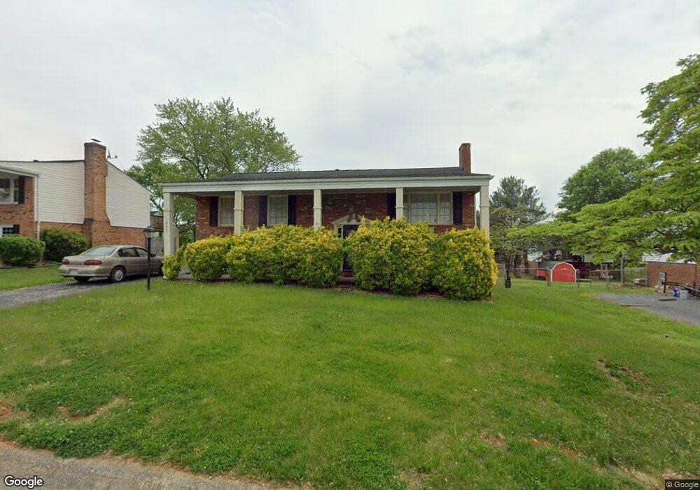
1855 Pembrook Dr Vinton, VA 24179
Estimated Value: $308,000 - $319,031
4
Beds
3
Baths
2,276
Sq Ft
$137/Sq Ft
Est. Value
About This Home
This home is located at 1855 Pembrook Dr, Vinton, VA 24179 and is currently estimated at $311,508, approximately $136 per square foot. 1855 Pembrook Dr is a home located in Roanoke County with nearby schools including W.E. Cundiff Elementary School, William Byrd Middle School, and William Byrd High School.
Ownership History
Date
Name
Owned For
Owner Type
Purchase Details
Closed on
Mar 19, 2008
Sold by
Brown Dewey Edward and Brown Theresa C
Bought by
Nimmo Kristi M
Current Estimated Value
Home Financials for this Owner
Home Financials are based on the most recent Mortgage that was taken out on this home.
Original Mortgage
$178,500
Outstanding Balance
$123,468
Interest Rate
5.75%
Mortgage Type
USDA
Estimated Equity
$188,040
Create a Home Valuation Report for This Property
The Home Valuation Report is an in-depth analysis detailing your home's value as well as a comparison with similar homes in the area
Home Values in the Area
Average Home Value in this Area
Purchase History
| Date | Buyer | Sale Price | Title Company |
|---|---|---|---|
| Nimmo Kristi M | $178,500 | Lawyers Title |
Source: Public Records
Mortgage History
| Date | Status | Borrower | Loan Amount |
|---|---|---|---|
| Open | Nimmo Kristi M | $178,500 |
Source: Public Records
Tax History Compared to Growth
Tax History
| Year | Tax Paid | Tax Assessment Tax Assessment Total Assessment is a certain percentage of the fair market value that is determined by local assessors to be the total taxable value of land and additions on the property. | Land | Improvement |
|---|---|---|---|---|
| 2025 | $2,613 | $253,700 | $50,000 | $203,700 |
| 2024 | $2,452 | $235,800 | $48,000 | $187,800 |
| 2023 | $2,241 | $211,400 | $44,000 | $167,400 |
| 2022 | $2,025 | $185,800 | $38,000 | $147,800 |
| 2021 | $1,860 | $170,600 | $33,000 | $137,600 |
| 2020 | $1,849 | $169,600 | $33,000 | $136,600 |
| 2019 | $1,745 | $160,100 | $30,000 | $130,100 |
| 2018 | $1,643 | $157,500 | $30,000 | $127,500 |
| 2017 | $1,643 | $150,700 | $30,000 | $120,700 |
| 2016 | $1,627 | $149,300 | $30,000 | $119,300 |
| 2015 | $1,630 | $149,500 | $30,000 | $119,500 |
| 2014 | $1,631 | $149,600 | $30,000 | $119,600 |
Source: Public Records
Map
Nearby Homes
- 0 Finney Dr
- 1807 Parker Ln
- 1918 Parker Ln
- 1802 Parker Ln
- 1819 Parker Ln
- 1822 Charlestown Square
- 0 Halifax Cir
- 1819 Charlestown Square
- 1818 Charlestown Square
- 1902 Parker Ln
- 1914 Parker Ln
- 723 Finney Dr
- 1893 Elizabeth Dr
- 1889 Elizabeth Dr
- 2231 Hardy Rd
- 617 Mcgeorge Dr
- 449 Missimer Ln
- 539 Missimer Ln
- 1038 Lauderdale Ave
- 928 Shelbourne Ave
- 1861 Pembrook Dr
- 1849 Pembrook Dr
- 1920 Cambridge Dr
- 1928 Cambridge Dr
- 1867 Pembrook Dr
- 1843 Pembrook Dr
- 1914 Cambridge Dr
- 1934 Cambridge Dr
- 1854 Pembrook Dr
- 1860 Pembrook Dr
- 1848 Pembrook Dr
- 1866 Pembrook Dr
- 1873 Pembrook Dr
- 1904 Cambridge Dr
- 1839 Pembrook Dr
- 1940 Cambridge Dr
- 1842 Pembrook Dr
- 1872 Pembrook Dr
- 1840 Cambridge Dr
- 1849 Cranwell Dr