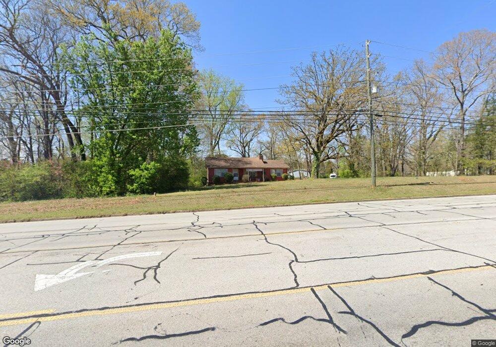
1856 Powder Springs Rd SW Marietta, GA 30064
Estimated Value: $319,000 - $356,000
3
Beds
2
Baths
2,209
Sq Ft
$149/Sq Ft
Est. Value
About This Home
This home is located at 1856 Powder Springs Rd SW, Marietta, GA 30064 and is currently estimated at $328,714, approximately $148 per square foot. 1856 Powder Springs Rd SW is a home located in Cobb County with nearby schools including Dowell Elementary School, Smitha Middle School, and Osborne High School.
Ownership History
Date
Name
Owned For
Owner Type
Purchase Details
Closed on
Oct 17, 2020
Sold by
Stewart Paul
Bought by
1850 Powder Springs Road Llc Llc
Current Estimated Value
Purchase Details
Closed on
Aug 23, 2001
Sold by
Thomason Karen E
Bought by
Stewart Paul
Home Financials for this Owner
Home Financials are based on the most recent Mortgage that was taken out on this home.
Original Mortgage
$108,000
Interest Rate
6.85%
Mortgage Type
New Conventional
Create a Home Valuation Report for This Property
The Home Valuation Report is an in-depth analysis detailing your home's value as well as a comparison with similar homes in the area
Home Values in the Area
Average Home Value in this Area
Purchase History
| Date | Buyer | Sale Price | Title Company |
|---|---|---|---|
| 1850 Powder Springs Road Llc Llc | -- | None Available | |
| Stewart Paul | $135,000 | -- |
Source: Public Records
Mortgage History
| Date | Status | Borrower | Loan Amount |
|---|---|---|---|
| Previous Owner | Stewart Paul | $108,000 |
Source: Public Records
Tax History Compared to Growth
Tax History
| Year | Tax Paid | Tax Assessment Tax Assessment Total Assessment is a certain percentage of the fair market value that is determined by local assessors to be the total taxable value of land and additions on the property. | Land | Improvement |
|---|---|---|---|---|
| 2025 | $3,237 | $107,448 | $59,840 | $47,608 |
| 2024 | $3,240 | $107,448 | $59,840 | $47,608 |
| 2023 | $2,724 | $90,356 | $48,960 | $41,396 |
| 2022 | $2,280 | $75,124 | $33,728 | $41,396 |
| 2021 | $1,980 | $65,224 | $29,920 | $35,304 |
| 2020 | $1,798 | $59,240 | $23,936 | $35,304 |
| 2019 | $1,901 | $62,648 | $32,640 | $30,008 |
| 2018 | $1,578 | $51,984 | $23,936 | $28,048 |
| 2017 | $1,495 | $51,984 | $23,936 | $28,048 |
| 2016 | $1,197 | $41,648 | $13,600 | $28,048 |
| 2015 | $1,227 | $41,648 | $13,600 | $28,048 |
| 2014 | $996 | $33,516 | $0 | $0 |
Source: Public Records
Map
Nearby Homes
- 1697 Dyeson Rd SW
- 2268 Grove Valley Way Unit 9
- 2050 Heritage Green Dr
- 1706 Brandon Lee Way SW Unit 1
- 2009 Freestone Way
- 1970 Powder Springs Rd SW
- Hillside Plan at Freestone Station
- Hendricks Plan at Freestone Station
- Antioch Plan at Freestone Station
- Hedgerow Plan at Freestone Station
- Monteluce Plan at Freestone Station
- Oakshire Plan at Freestone Station
- 2002 MacLand Square Dr Unit 1
- 1952 Freestone Way
- 1985 Freestone Way
- 2001 MacLand Square Dr Unit 11
- 2389 Jack Creek Rd SW
- 1946 MacLand Rd SW
- 1960 McEachern Manor Dr SW
- 1856 Powder Springs Rd SW Unit 1856
- 1842 Green Dr SW
- 1844 Green Dr SW
- 1900 Heritage Green Dr
- 1910 Heritage Green Dr
- 2275 Heritage Green Ct
- 0 Dyeson Rd SW Unit 8808520
- 0 Dyeson Rd SW
- 1848 Green Dr SW
- 1680 Cumberland Club Rd SW
- 1680 Cumberland Club Rd SW Unit 4
- 2265 Heritage Green Ct
- 1880 Green Dr SW
- 1721 Dyeson Rd SW Unit 5
- 0 Heritage Green Dr SW Unit 8806545
- 0 Heritage Green Dr SW Unit 8169988
- 0 Heritage Green Dr SW Unit 8032184
- 0 Heritage Green Dr SW Unit 8015898
- 0 Heritage Green Dr SW Unit 7414597
- 0 Heritage Green Dr SW Unit 7085098