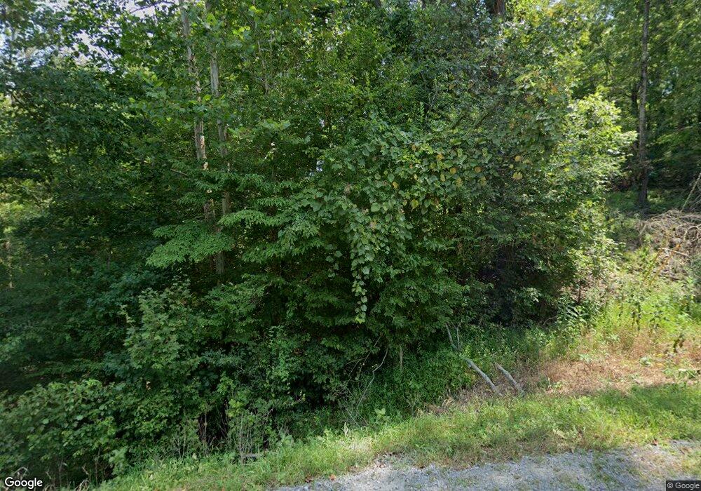
1856 Tobaccoport Rd Bumpus Mills, TN 37028
Estimated Value: $268,000 - $380,787
--
Bed
--
Bath
1,664
Sq Ft
$187/Sq Ft
Est. Value
About This Home
This home is located at 1856 Tobaccoport Rd, Bumpus Mills, TN 37028 and is currently estimated at $310,697, approximately $186 per square foot. 1856 Tobaccoport Rd is a home with nearby schools including Dover Elementary School, Stewart County Middle School, and Stewart County High School.
Ownership History
Date
Name
Owned For
Owner Type
Purchase Details
Closed on
Jul 30, 2022
Sold by
Emmons Douglas L and Emmons Suann R
Bought by
Emmons Ashleigh
Current Estimated Value
Purchase Details
Closed on
Aug 29, 2008
Sold by
Byroad Gladys M
Bought by
Emmons Douglas L
Home Financials for this Owner
Home Financials are based on the most recent Mortgage that was taken out on this home.
Original Mortgage
$47,500
Interest Rate
6.48%
Mortgage Type
Cash
Purchase Details
Closed on
Mar 26, 1998
Bought by
Byroad Alfred E and Byroad Gladys M
Create a Home Valuation Report for This Property
The Home Valuation Report is an in-depth analysis detailing your home's value as well as a comparison with similar homes in the area
Home Values in the Area
Average Home Value in this Area
Purchase History
| Date | Buyer | Sale Price | Title Company |
|---|---|---|---|
| Emmons Ashleigh | -- | Charles R Parks Jr Pllc | |
| Emmons Douglas L | $48,000 | -- | |
| Byroad Alfred E | $35,000 | -- |
Source: Public Records
Mortgage History
| Date | Status | Borrower | Loan Amount |
|---|---|---|---|
| Previous Owner | Byroad Alfred E | $47,500 |
Source: Public Records
Tax History Compared to Growth
Tax History
| Year | Tax Paid | Tax Assessment Tax Assessment Total Assessment is a certain percentage of the fair market value that is determined by local assessors to be the total taxable value of land and additions on the property. | Land | Improvement |
|---|---|---|---|---|
| 2024 | $1,172 | $78,825 | $8,000 | $70,825 |
| 2023 | $210 | $8,900 | $5,325 | $3,575 |
| 2022 | $210 | $8,900 | $5,325 | $3,575 |
| 2021 | $210 | $8,900 | $5,325 | $3,575 |
| 2020 | $237 | $8,900 | $5,325 | $3,575 |
| 2019 | $237 | $9,300 | $5,325 | $3,975 |
| 2018 | $237 | $9,300 | $5,325 | $3,975 |
| 2017 | $237 | $9,300 | $5,325 | $3,975 |
| 2016 | $237 | $9,300 | $5,325 | $3,975 |
| 2015 | $230 | $9,300 | $5,325 | $3,975 |
| 2014 | $253 | $9,300 | $5,325 | $3,975 |
| 2013 | $253 | $10,247 | $0 | $0 |
Source: Public Records
Map
Nearby Homes
- 0 Bayview Dr Lot 160&161 Unit RTC2782305
- 192 Diamond Point Dr
- 1 Tobaccoport Cir
- 1 Forest Trail
- 1 Lakeshore Cir
- 0 Old Tobaccoport Rd Unit RTC2490211
- 636 Tobaccoport Rd
- 700 Crossroads School Rd
- 14671 Old Dover Rd
- 229 Bob Walker Rd
- 326 Hargis Rd Unit 328
- 296 McCoy Hollow Rd
- 14396 South Rd
- 0 Barron Dr
- 3989 Cadiz Rd
- 143 Saline Trail
- 55-56 Old Tobaccoport Rd
- 393 Lake Vista Dr
- 13425 South Rd
- 3023 Highway 120 Unit 3021
- 0 Tabacco Port Rd Unit RTC2475532
- 1891 Tobaccoport Rd
- 1898 Tobaccoport Rd
- 119 Lineport Rd
- 1803 Tobaccoport Rd
- 112 Lineport Rd
- 1932 Tobaccoport Rd
- 1762 Tobaccoport Rd
- 1765 Tobaccoport Rd
- 171 Randall Brandon Rd
- 1761 Tobaccoport Rd
- 169 Randall Brandon Rd
- 1997 Tobaccoport Rd
- 176 Randall Brandon Rd
- 225 Lineport Rd
- 1 Lineport Rd
- 10 Lineport Rd
- 18 Lineport Rd
- 19 Lineport Rd
- 3 Lineport Rd
