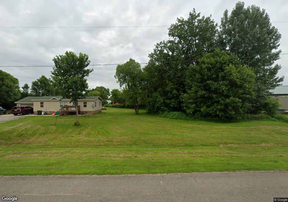
18564 Desmond Dr Paynesville, MN 56362
Estimated Value: $178,000 - $233,000
2
Beds
2
Baths
1,080
Sq Ft
$195/Sq Ft
Est. Value
About This Home
This home is located at 18564 Desmond Dr, Paynesville, MN 56362 and is currently estimated at $210,484, approximately $194 per square foot. 18564 Desmond Dr is a home located in Stearns County with nearby schools including Paynesville Elementary School, Paynesville Middle School, and Paynesville Area High School.
Ownership History
Date
Name
Owned For
Owner Type
Purchase Details
Closed on
Jun 19, 2020
Sold by
Schmitt Joshua P
Bought by
Koltes Michael A
Current Estimated Value
Purchase Details
Closed on
Feb 16, 2017
Sold by
Chupp Jeffrey and Chupp Mary
Bought by
Schmitt Joshua P
Purchase Details
Closed on
Jul 26, 2011
Sold by
Sec Of Housing & Urban Dev
Bought by
Chupp Jeffrey
Purchase Details
Closed on
Oct 30, 2008
Sold by
Bork Nathan N
Bought by
Soine Angela R
Create a Home Valuation Report for This Property
The Home Valuation Report is an in-depth analysis detailing your home's value as well as a comparison with similar homes in the area
Home Values in the Area
Average Home Value in this Area
Purchase History
| Date | Buyer | Sale Price | Title Company |
|---|---|---|---|
| Koltes Michael A | $115,900 | None Available | |
| Schmitt Joshua P | $73,500 | None Available | |
| Chupp Jeffrey | -- | -- | |
| Soine Angela R | $92,400 | -- |
Source: Public Records
Tax History Compared to Growth
Tax History
| Year | Tax Paid | Tax Assessment Tax Assessment Total Assessment is a certain percentage of the fair market value that is determined by local assessors to be the total taxable value of land and additions on the property. | Land | Improvement |
|---|---|---|---|---|
| 2025 | $1,404 | $172,400 | $35,800 | $136,600 |
| 2024 | $1,404 | $159,100 | $35,600 | $123,500 |
| 2023 | $1,328 | $158,500 | $35,600 | $122,900 |
| 2022 | $1,106 | $109,900 | $29,600 | $80,300 |
| 2021 | $790 | $109,900 | $29,600 | $80,300 |
| 2020 | $498 | $98,900 | $29,600 | $69,300 |
| 2019 | $458 | $67,800 | $29,600 | $38,200 |
| 2018 | $438 | $62,600 | $27,300 | $35,300 |
| 2017 | $400 | $58,800 | $22,800 | $36,000 |
| 2016 | $408 | $0 | $0 | $0 |
| 2015 | $414 | $0 | $0 | $0 |
| 2014 | -- | $0 | $0 | $0 |
Source: Public Records
Map
Nearby Homes
- 440 N Grande St
- 400 N Grande St
- 523 W Mill St
- 309 Wendell St
- 369 W Mill St
- 27677 Highway 55
- 31099 El Mar Cir
- 622 Spruce St
- 421 South St
- 416 South St
- 701 South St
- 511 Morningside Ave
- 750 South St
- 790 South St
- 381 Spruce St
- 28726 Clarence Ct
- 28780 Clarence Ct
- 28642 Clarence Ct
- 28707 Clarence Ct
- 28630 Clarence Ct
- 18526 County Road 130
- 29864 Dolphin Dr
- 29908 Dolphin Dr
- 18521 County Road 130
- 18572 County Road 130
- 296th Koronis Ave
- XXX 296th Ave
- 30416 185th St
- 55837 E State Highway 55
- 125 125 N Grande-Street-
- 17869 296th Ave
- 17869 296th Ave
- 480 N Grande St
- 17816 296th Ave
- 300 Grand St
- 30165 E State Highway 55
- 245 Grand St
- 240 Grand St
- 301731 E State Highway 55
- xxx E State Highway 55