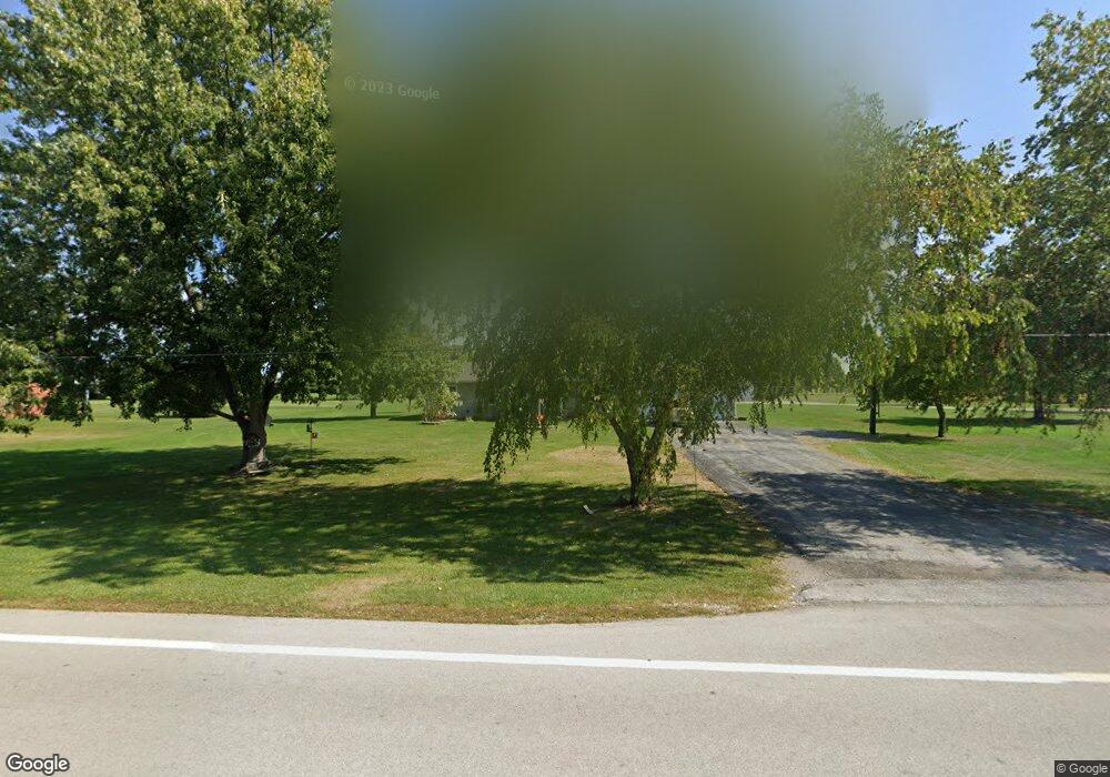
18565 State Highway 67 Upper Sandusky, OH 43351
Estimated Value: $259,552 - $376,000
3
Beds
2
Baths
2,496
Sq Ft
$125/Sq Ft
Est. Value
About This Home
This home is located at 18565 State Highway 67, Upper Sandusky, OH 43351 and is currently estimated at $311,388, approximately $124 per square foot. 18565 State Highway 67 is a home with nearby schools including Upper Sandusky High School.
Ownership History
Date
Name
Owned For
Owner Type
Purchase Details
Closed on
May 8, 2018
Sold by
Mclane Steven L and Mclane Teresa L
Bought by
Mclane Steven L and Mclane Teresa L
Current Estimated Value
Home Financials for this Owner
Home Financials are based on the most recent Mortgage that was taken out on this home.
Original Mortgage
$43,000
Interest Rate
4.44%
Mortgage Type
New Conventional
Create a Home Valuation Report for This Property
The Home Valuation Report is an in-depth analysis detailing your home's value as well as a comparison with similar homes in the area
Purchase History
| Date | Buyer | Sale Price | Title Company |
|---|---|---|---|
| Mclane Steven L | -- | None Available |
Source: Public Records
Mortgage History
| Date | Status | Borrower | Loan Amount |
|---|---|---|---|
| Closed | Mclane Steven L | $43,000 |
Source: Public Records
Tax History
| Year | Tax Paid | Tax Assessment Tax Assessment Total Assessment is a certain percentage of the fair market value that is determined by local assessors to be the total taxable value of land and additions on the property. | Land | Improvement |
|---|---|---|---|---|
| 2025 | $2,354 | $78,070 | $8,590 | $69,480 |
| 2024 | $2,034 | $63,300 | $6,850 | $56,450 |
| 2023 | $2,034 | $63,300 | $6,850 | $56,450 |
| 2022 | $2,034 | $52,590 | $5,710 | $46,880 |
| 2021 | $1,773 | $52,590 | $5,710 | $46,880 |
| 2020 | $1,773 | $52,590 | $5,710 | $46,880 |
| 2019 | $1,769 | $52,590 | $5,710 | $46,880 |
| 2018 | $1,170 | $35,750 | $5,120 | $30,630 |
| 2017 | $1,189 | $35,750 | $5,120 | $30,630 |
| 2016 | -- | $35,750 | $5,120 | $30,630 |
| 2015 | -- | $34,950 | $5,120 | $29,830 |
| 2014 | -- | $34,950 | $5,120 | $29,830 |
| 2013 | -- | $34,950 | $5,120 | $29,830 |
Source: Public Records
Map
Nearby Homes
- 18205 County Highway 96
- 0 Osbun Rd Unit Lot 27 225032274
- 00 Osbun Rd Unit Lot 6
- 3132 Decliff Rd N
- 3096 Decliff Rd N
- 23385 Township Road 126
- 8147 Ohio 294
- 17748 Cherokee St
- 162 N Main St
- 11650 Township Highway 103
- 0 Cr 215 Unit 11594771
- 0 Cr 215 Unit 11594600
- 0 Cr 215 Unit 25370311
- 0 Cr 215 Unit 11598074
- 381 & 383 W Johnson St
- 221&221 1/2 S 7th St
- 203 203 1/2 E Crawford St
- 2487 Cramer Rd
- 379 W Spring St
- 476 S Hazel St
- 18570 State Highway 67
- 18593 Ohio 67
- 18432 State Highway 67
- 18876 State Highway 67
- 18133 State Highway 67
- 14338 Twp Hwy
- 11730 Township Highway 71
- 13610 County Highway 71
- 17990 State Highway 67
- 18248 State Highway 67
- 14338 T H 71
- 14518 Township Highway 71
- 17890 Township Highway 103
- 18317 Township Highway 103
- 18303 County Highway 96
- 13769 State Highway 294
- 17964 Township Highway 103