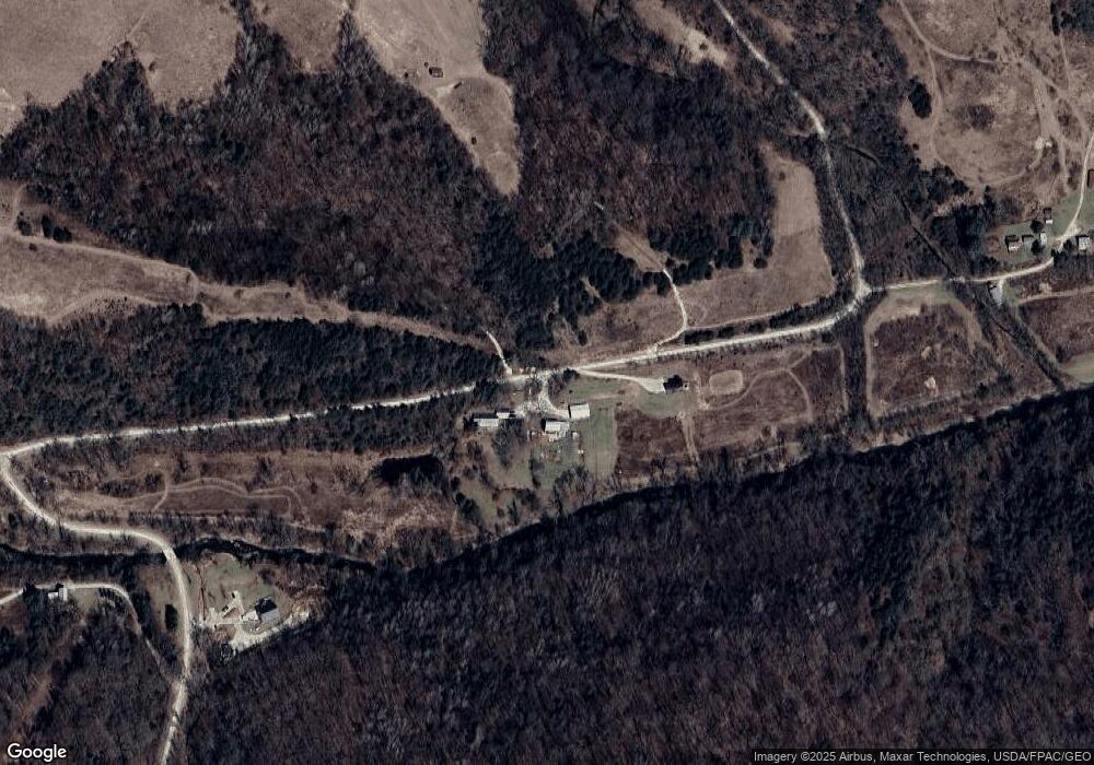
18568 Drake Rd Lanesboro, MN 55949
Estimated Value: $398,000 - $603,718
3
Beds
2
Baths
1,736
Sq Ft
$289/Sq Ft
Est. Value
About This Home
This home is located at 18568 Drake Rd, Lanesboro, MN 55949 and is currently estimated at $500,859, approximately $288 per square foot. 18568 Drake Rd is a home located in Fillmore County with nearby schools including Mabel-Canton Elementary School and Mabel-Canton Secondary School.
Ownership History
Date
Name
Owned For
Owner Type
Purchase Details
Closed on
Oct 23, 2025
Sold by
Thorby Andrew B and Thorby Suzette M
Bought by
Andrew B Thorby And Suzette M Thorby Revocabl and Thorby
Current Estimated Value
Purchase Details
Closed on
Sep 15, 2010
Sold by
Becken Marilyn A and Gimbert Marilyn A
Bought by
Thorby Andrew B and Thorby Suzette M
Create a Home Valuation Report for This Property
The Home Valuation Report is an in-depth analysis detailing your home's value as well as a comparison with similar homes in the area
Home Values in the Area
Average Home Value in this Area
Purchase History
| Date | Buyer | Sale Price | Title Company |
|---|---|---|---|
| Andrew B Thorby And Suzette M Thorby Revocabl | $500 | None Listed On Document | |
| Thorby Andrew B | $580,000 | None Available | |
| Becken Marilyn Ann | -- | None Available |
Source: Public Records
Tax History Compared to Growth
Tax History
| Year | Tax Paid | Tax Assessment Tax Assessment Total Assessment is a certain percentage of the fair market value that is determined by local assessors to be the total taxable value of land and additions on the property. | Land | Improvement |
|---|---|---|---|---|
| 2025 | $1,754 | $567,400 | $319,900 | $247,500 |
| 2024 | $1,754 | $474,100 | $246,100 | $228,000 |
| 2023 | $1,218 | $474,100 | $246,100 | $228,000 |
| 2022 | $1,218 | $348,000 | $218,200 | $129,800 |
| 2021 | $1,218 | $322,900 | $206,200 | $116,700 |
| 2020 | $1,018 | $322,900 | $206,200 | $116,700 |
| 2019 | $1,048 | $309,400 | $192,400 | $117,000 |
| 2018 | $1,040 | $309,400 | $192,400 | $117,000 |
| 2017 | -- | $301,700 | $188,100 | $113,600 |
| 2016 | $1,338 | $283,600 | $170,000 | $113,600 |
| 2015 | $1,690 | $318,200 | $219,256 | $98,944 |
| 2014 | $1,690 | $316,300 | $217,356 | $98,944 |
| 2013 | $1,690 | $282,400 | $184,334 | $98,066 |
Source: Public Records
Map
Nearby Homes
- 18256 State Hwy 43
- 41132 Chestnut Rd
- 22485 391st Ave
- 15531 County 21
- 15531 County Road 21
- 13824 371st Ave
- 16325 351st Ave
- 13130 County 21
- TBD County Road 19
- 12549 County 21
- 16128 331st Ave
- TBD County 21 Rd
- 331st Ave
- TBD County 8
- 11089 Dove Rd
- 39871 Highway 44
- 20376 County 19
- 39871 State Hwy 44
- TBD 331st Ave
- 20376 County Highway 19