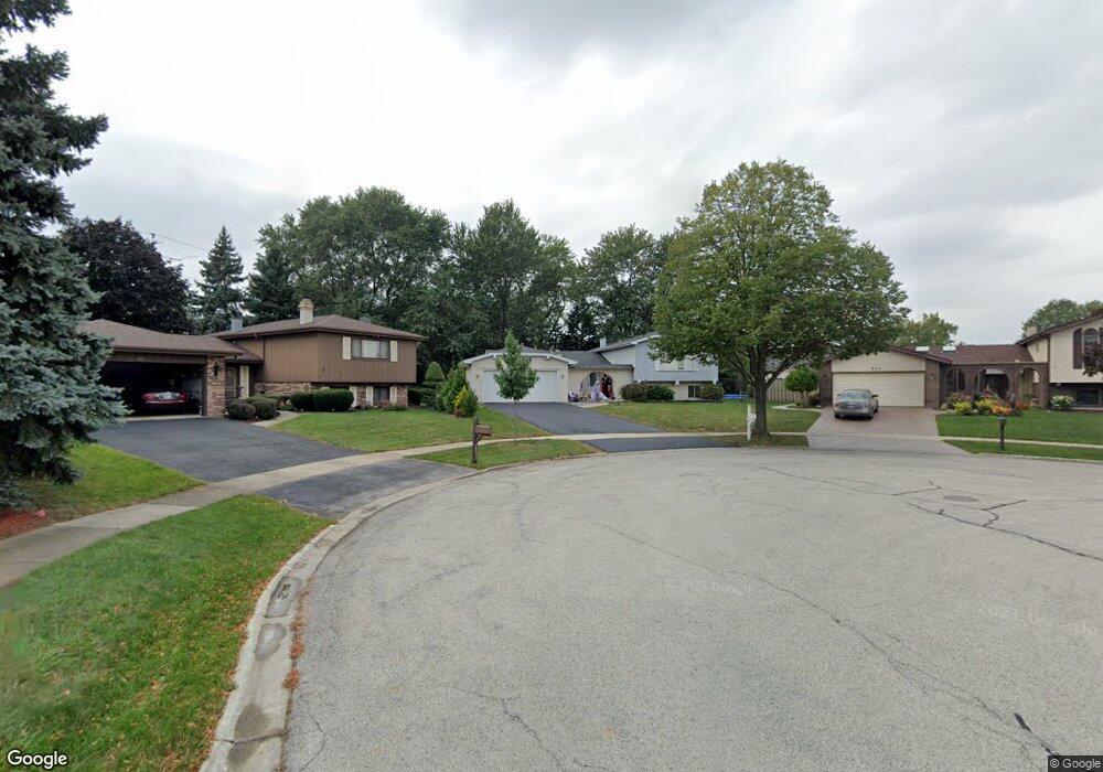
1857 Kings Point Dr S Addison, IL 60101
Estimated Value: $465,974 - $496,000
4
Beds
3
Baths
2,457
Sq Ft
$196/Sq Ft
Est. Value
About This Home
This home is located at 1857 Kings Point Dr S, Addison, IL 60101 and is currently estimated at $480,994, approximately $195 per square foot. 1857 Kings Point Dr S is a home located in DuPage County with nearby schools including Stone Elementary School, Indian Trail Jr High School, and Addison Trail High School.
Ownership History
Date
Name
Owned For
Owner Type
Purchase Details
Closed on
Aug 8, 2008
Sold by
Chvatal Lawrence B and Chvatal Catherine C
Bought by
Damico Louis
Current Estimated Value
Home Financials for this Owner
Home Financials are based on the most recent Mortgage that was taken out on this home.
Original Mortgage
$200,000
Interest Rate
6.42%
Mortgage Type
Purchase Money Mortgage
Purchase Details
Closed on
Feb 13, 2008
Sold by
Chicago Title Land Trust Co
Bought by
Lawrence B and Chvatal Revocab Catherine C
Purchase Details
Closed on
Jul 31, 2007
Sold by
Chvatal Lawrence B and Chvatal Catherine C
Bought by
Lawrece B and Chvatal Revocabl Catherine C
Purchase Details
Closed on
Jul 12, 2001
Sold by
Oak Brook Bank
Bought by
Elmhurst National Bank and Trust #5069
Purchase Details
Closed on
Mar 1, 1994
Sold by
Chvatal Lawrence B and Chvatal Catherine C
Bought by
Chvatal Lawrence B and Chvatal Catherine C
Create a Home Valuation Report for This Property
The Home Valuation Report is an in-depth analysis detailing your home's value as well as a comparison with similar homes in the area
Home Values in the Area
Average Home Value in this Area
Purchase History
| Date | Buyer | Sale Price | Title Company |
|---|---|---|---|
| Damico Louis | $360,000 | Atg | |
| Lawrence B | -- | Chicago Title Land Trust Co | |
| Lawrece B | -- | None Available | |
| Elmhurst National Bank | -- | -- | |
| Chvatal Lawrence B | -- | -- |
Source: Public Records
Mortgage History
| Date | Status | Borrower | Loan Amount |
|---|---|---|---|
| Closed | Damico Louis | $200,000 |
Source: Public Records
Tax History Compared to Growth
Tax History
| Year | Tax Paid | Tax Assessment Tax Assessment Total Assessment is a certain percentage of the fair market value that is determined by local assessors to be the total taxable value of land and additions on the property. | Land | Improvement |
|---|---|---|---|---|
| 2024 | $8,074 | $131,154 | $38,491 | $92,663 |
| 2023 | $7,611 | $119,940 | $35,200 | $84,740 |
| 2022 | $7,655 | $114,840 | $34,980 | $79,860 |
| 2021 | $7,254 | $109,110 | $33,230 | $75,880 |
| 2020 | $7,179 | $106,450 | $32,420 | $74,030 |
| 2019 | $7,132 | $102,290 | $31,150 | $71,140 |
| 2018 | $6,760 | $93,980 | $28,620 | $65,360 |
| 2017 | $4,951 | $87,110 | $26,530 | $60,580 |
| 2016 | $6,145 | $80,620 | $24,550 | $56,070 |
| 2015 | $6,023 | $75,230 | $22,910 | $52,320 |
| 2014 | $5,609 | $70,340 | $22,070 | $48,270 |
| 2013 | $5,594 | $72,740 | $22,820 | $49,920 |
Source: Public Records
Map
Nearby Homes
- 802 N Tamarac Blvd Unit Z5
- 823 N Cambridge Row
- 865 N Tamarac Blvd
- 881 N Swift Rd Unit 306
- 881 N Swift Rd Unit 106
- 941 N Swift Rd Unit 301
- 953 N Rohlwing Rd Unit GB
- 953 N Rohlwing Rd Unit 201A
- 943 N Rohlwing Rd Unit 101H
- 1750 W Woodland Ave
- 1795 W Jo Ann Ln
- 1741 W Goldengate Dr Unit 2
- 1711 W Woodland Ave
- 1701 W Goldengate Dr
- 522 N Castle Rd
- 1560 W Goldengate Dr
- 1801 W Army Trail Rd
- 20W561 Army Trail Blvd
- 1660 W Prescott Place
- 1205 Scarlet Dr
- 808 Kings Point Dr W
- 1853 Kings Point Dr S
- 726 N Lawler Ave
- 1860 W Mulloy Dr
- 1849 Kings Point Dr S
- 812 Kings Point Dr W
- 1856 W Mulloy Dr
- 816 Kings Point Dr W
- 722 N Lawler Ave
- 1845 Kings Point Dr S
- 1844 Kings Point Dr S
- 1852 W Mulloy Dr
- 1848 W Mulloy Dr
- 1841 Kings Point Dr S
- 718 N Lawler Ave
- 821 Kings Point Dr W
- 1840 Kings Point Dr S
- 1851 W Mulloy Dr
- 1844 W Mulloy Dr
- 714 N Lawler Ave