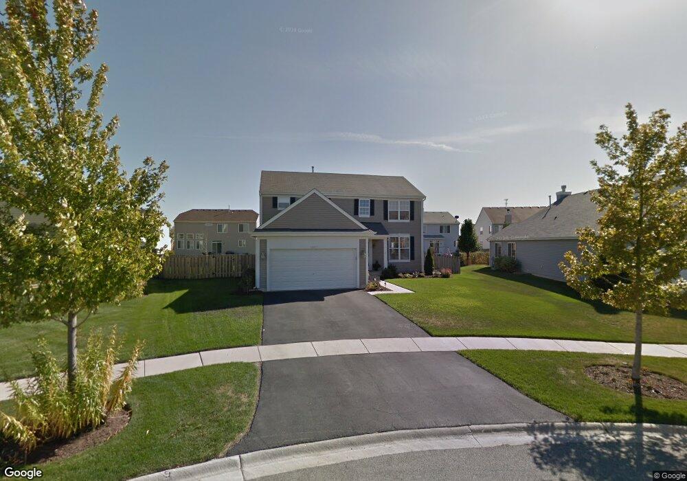
1857 Lookout Dr Pingree Grove, IL 60140
Estimated Value: $407,000 - $434,000
4
Beds
3
Baths
2,230
Sq Ft
$189/Sq Ft
Est. Value
About This Home
This home is located at 1857 Lookout Dr, Pingree Grove, IL 60140 and is currently estimated at $421,948, approximately $189 per square foot. 1857 Lookout Dr is a home located in Kane County with nearby schools including Hampshire Middle School, Hampshire High School, and Cambridge Lakes Charter School.
Ownership History
Date
Name
Owned For
Owner Type
Purchase Details
Closed on
Aug 10, 2009
Sold by
Drh Cambridge Homes Inc
Bought by
Ross Rodney and Ross Sally
Current Estimated Value
Home Financials for this Owner
Home Financials are based on the most recent Mortgage that was taken out on this home.
Original Mortgage
$177,471
Outstanding Balance
$116,125
Interest Rate
5.28%
Mortgage Type
New Conventional
Estimated Equity
$305,823
Create a Home Valuation Report for This Property
The Home Valuation Report is an in-depth analysis detailing your home's value as well as a comparison with similar homes in the area
Home Values in the Area
Average Home Value in this Area
Purchase History
| Date | Buyer | Sale Price | Title Company |
|---|---|---|---|
| Ross Rodney | $254,000 | First American Title |
Source: Public Records
Mortgage History
| Date | Status | Borrower | Loan Amount |
|---|---|---|---|
| Open | Ross Rodney | $177,471 |
Source: Public Records
Tax History
| Year | Tax Paid | Tax Assessment Tax Assessment Total Assessment is a certain percentage of the fair market value that is determined by local assessors to be the total taxable value of land and additions on the property. | Land | Improvement |
|---|---|---|---|---|
| 2024 | $9,487 | $121,695 | $30,777 | $90,918 |
| 2023 | $9,213 | $110,051 | $27,832 | $82,219 |
| 2022 | $8,916 | $101,467 | $25,661 | $75,806 |
| 2021 | $8,691 | $95,436 | $24,136 | $71,300 |
| 2020 | $8,546 | $93,000 | $23,520 | $69,480 |
| 2019 | $8,377 | $89,260 | $22,574 | $66,686 |
| 2018 | $8,162 | $83,773 | $21,186 | $62,587 |
| 2017 | $7,991 | $79,776 | $20,175 | $59,601 |
| 2016 | $7,955 | $75,948 | $19,207 | $56,741 |
| 2015 | $6,721 | $71,730 | $18,140 | $53,590 |
| 2014 | $6,721 | $64,066 | $17,276 | $46,790 |
| 2013 | $6,721 | $61,144 | $17,593 | $43,551 |
Source: Public Records
Map
Nearby Homes
- 1192 Alta Vista Dr
- 1385 Broadland Dr
- 2250 Aurora Dr Unit 24
- 2307 Upland Rd
- 1286 Newport Cir
- 1173 Sonoma Ct
- 1433 Lighthouse Ln
- 2544 Alison Ave
- 2352 Alison Ave
- 1600 Bayberry Ln
- 2368 Alison Ave
- 43W428 U S 20
- 1720 Bayberry Ln
- 1882 Southern Cir Unit 1882
- 1838 Southern Cir Unit 1838
- 1561 Sequoia Way
- 887 Emerald Dr Unit 2
- 1639 Rochester Rd
- 1533 Yosemite Way
- 1464 Sequoia Way
- 1867 Lookout Dr
- 1847 Lookout Dr
- 1856 Lake Bluff Ln
- 1868 Lake Bluff Ln
- 1844 Lake Bluff Ln
- 1877 Lookout Dr
- 1882 Lake Bluff Ln
- 1832 Lake Bluff Ln
- 1837 Lookout Dr
- 1894 Lake Bluff Ln
- 1366 Beachview Rd
- 1906 Lake Bluff Ln
- 1862 Lookout Dr
- 1378 Beachview Rd
- 1842 Lookout Dr
- 1820 Lake Bluff Ln
- 1852 Lookout Dr
- 1872 Lookout Dr
- 1918 Lake Bluff Ln
- 1390 Beachview Rd
Your Personal Tour Guide
Ask me questions while you tour the home.