1857 McIlwain Rd Lancaster, SC 29720
Estimated Value: $108,126 - $217,000
Studio
1
Bath
1,025
Sq Ft
$176/Sq Ft
Est. Value
About This Home
This home is located at 1857 McIlwain Rd, Lancaster, SC 29720 and is currently estimated at $180,282, approximately $175 per square foot. 1857 McIlwain Rd is a home located in Lancaster County with nearby schools including Brooklyn Springs Elementary School, South Middle School, and Lancaster High School.
Ownership History
Date
Name
Owned For
Owner Type
Purchase Details
Closed on
May 17, 2022
Sold by
Carolyn Alston
Bought by
Stradford Rachel
Current Estimated Value
Purchase Details
Closed on
Apr 11, 2022
Sold by
Benson Stradford Mary
Bought by
Mcilwain Evelyn and Stradford Curtis
Purchase Details
Closed on
Apr 22, 2014
Sold by
Estate Of David Lee Sradford
Bought by
Stradford Mary B and Alston Carolyn
Purchase Details
Closed on
Nov 19, 2004
Sold by
Mcilwain Eldred and Mcilwain Evelyn S
Bought by
Anthony Lee Autrey and Anthony Ronnie
Purchase Details
Closed on
Jul 8, 2004
Sold by
Stradford David Lee and Stradford Mary B
Bought by
Mcilwain Eldred and Mcilwain Evelyn S
Create a Home Valuation Report for This Property
The Home Valuation Report is an in-depth analysis detailing your home's value as well as a comparison with similar homes in the area
Home Values in the Area
Average Home Value in this Area
Purchase History
| Date | Buyer | Sale Price | Title Company |
|---|---|---|---|
| Stradford Rachel | -- | -- | |
| Mcilwain Evelyn | -- | New Title Company Name | |
| Stradford Mary B | -- | -- | |
| Anthony Lee Autrey | -- | -- | |
| Mcilwain Eldred | -- | -- |
Source: Public Records
Tax History
| Year | Tax Paid | Tax Assessment Tax Assessment Total Assessment is a certain percentage of the fair market value that is determined by local assessors to be the total taxable value of land and additions on the property. | Land | Improvement |
|---|---|---|---|---|
| 2024 | $393 | $2,560 | $540 | $2,020 |
| 2023 | $391 | $2,560 | $540 | $2,020 |
| 2022 | $390 | $2,560 | $540 | $2,020 |
| 2021 | $382 | $2,560 | $540 | $2,020 |
| 2020 | $370 | $2,408 | $540 | $1,868 |
| 2019 | $815 | $2,408 | $540 | $1,868 |
| 2018 | $784 | $2,408 | $540 | $1,868 |
| 2017 | $361 | $0 | $0 | $0 |
| 2016 | $1,088 | $0 | $0 | $0 |
| 2015 | $55 | $0 | $0 | $0 |
| 2014 | $55 | $0 | $0 | $0 |
| 2013 | $55 | $0 | $0 | $0 |
Source: Public Records
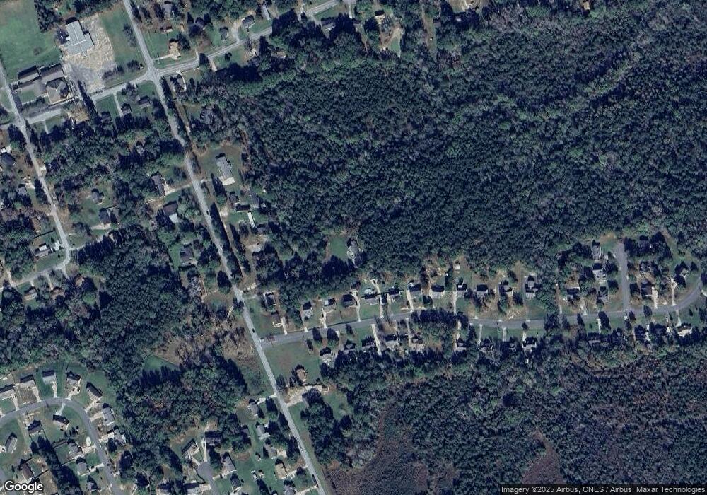
Map
Nearby Homes
- 5142 Sedgefield Dr
- 5114 Sedgefield Dr
- 1976 McIlwain Rd
- 2599 State Road S-29-503
- Lot 24 Avalon Ln Unit 24
- 2644 Downey Dr
- 2694 Pineview Dr
- 2795 Cane Mill Rd
- 2826 Drew Dr
- 2417 Lynwood Dr
- 1139 Merribrook Ln
- 0 Watson Dr Unit 39
- 2570 Pineview Dr
- 1182 Merribrook Ln
- 2697 State Road S-29-369
- 1186 Merribrook Ln
- 2375 Ellison Cir
- 2488 Cane Mill Rd
- 2908 Woodland Way
- 2156 Evans Dr
- 1861 McIlwain Rd
- 2013 Hunters Ridge Rd
- 2009 Hunters Ridge Rd
- 2017 Hunters Ridge Rd
- 2005 Hunters Ridge Rd
- 2001 Hunters Ridge Rd
- 2021 Hunters Ridge Rd
- 2025 Hunters Ridge Rd
- 1843 McIlwain Rd
- 1855 McIlwain Rd
- 1867 McIlwain Rd
- 2008 Hunters Ridge Rd
- 2008 Hunters Ridge Rd Unit 39
- 2004 Hunters Ridge Rd
- 2012 Hunters Ridge Rd
- 2000 Hunters Ridge Rd
- 2000 Hunters Ridge Rd Unit 41
- 2029 Hunters Ridge Rd
- 2020 Hunters Ridge Rd
- 1827 McIlwain Rd
Your Personal Tour Guide
Ask me questions while you tour the home.