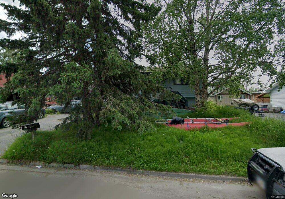
1858 Bartlett Dr Anchorage, AK 99507
Campbell Park NeighborhoodEstimated Value: $366,530 - $596,000
4
Beds
2
Baths
1,800
Sq Ft
$255/Sq Ft
Est. Value
About This Home
This home is located at 1858 Bartlett Dr, Anchorage, AK 99507 and is currently estimated at $458,633, approximately $254 per square foot. 1858 Bartlett Dr is a home located in Anchorage Municipality with nearby schools including Tudor Elementary School, Wendler Middle School, and Bettye Davis East Anchorage High School.
Ownership History
Date
Name
Owned For
Owner Type
Purchase Details
Closed on
Jan 14, 2004
Sold by
Stockwell Mickey L and Stockwell Kari M
Bought by
Stephenson William D and Stephenson Tamara
Current Estimated Value
Home Financials for this Owner
Home Financials are based on the most recent Mortgage that was taken out on this home.
Original Mortgage
$199,290
Outstanding Balance
$91,786
Interest Rate
6.02%
Mortgage Type
VA
Estimated Equity
$366,847
Purchase Details
Closed on
Dec 10, 1997
Sold by
Long Carl R and Long Anita L
Bought by
Stockwell Mickey L
Create a Home Valuation Report for This Property
The Home Valuation Report is an in-depth analysis detailing your home's value as well as a comparison with similar homes in the area
Home Values in the Area
Average Home Value in this Area
Purchase History
| Date | Buyer | Sale Price | Title Company |
|---|---|---|---|
| Stephenson William D | -- | Stewart Title Of Alaska | |
| Stockwell Mickey L | -- | -- | |
| Stockwell Mickey L | -- | -- |
Source: Public Records
Mortgage History
| Date | Status | Borrower | Loan Amount |
|---|---|---|---|
| Open | Stephenson William D | $199,290 | |
| Closed | Stockwell Mickey L | $0 |
Source: Public Records
Tax History Compared to Growth
Tax History
| Year | Tax Paid | Tax Assessment Tax Assessment Total Assessment is a certain percentage of the fair market value that is determined by local assessors to be the total taxable value of land and additions on the property. | Land | Improvement |
|---|---|---|---|---|
| 2025 | $1,839 | $348,100 | $87,600 | $260,500 |
| 2024 | $1,839 | $338,900 | $87,600 | $251,300 |
| 2023 | $5,288 | $310,500 | $87,600 | $222,900 |
| 2022 | $1,788 | $306,200 | $87,700 | $218,500 |
| 2021 | $4,750 | $263,600 | $87,700 | $175,900 |
| 2020 | $946 | $256,800 | $87,700 | $169,100 |
| 2019 | $870 | $253,200 | $87,700 | $165,500 |
| 2018 | $3,259 | $248,400 | $87,700 | $160,700 |
| 2017 | $3,610 | $250,500 | $87,700 | $162,800 |
| 2016 | $3,042 | $253,600 | $86,000 | $167,600 |
| 2015 | $3,042 | $249,200 | $86,000 | $163,200 |
| 2014 | $3,042 | $230,900 | $65,200 | $165,700 |
Source: Public Records
Map
Nearby Homes
- 5251 Little Tree St
- 1715 Bartlett Dr
- 2090 Dimond Dr
- 5321 Larkspur St
- 1506 Cache Dr
- L9A Laurel St
- 5409 Samoa St Unit 7C
- 4733 Becharof St
- 2638 Lauren Creek Loop Unit 14
- 1819 E Tudor Rd Unit B102
- 2800 E Dowling Rd
- 2830 Happy Ln Unit 13
- 2944 Midnight Sun Ct Unit 175
- 4530 Wright St Unit 12
- 4230 Folker St Unit A-103
- 4510 Wright St Unit 23
- 4510 Wright St Unit 17
- 4510 Wright St Unit 26
- 4246 Laurel St
- 4241 Folker St Unit D203
- 1904 Bartlett Dr
- 1844 Bartlett Dr
- 1917 Waldron Dr
- 1918 Bartlett Dr
- 1853 Bartlett Dr
- 1911 Waldron Dr
- 1907 Bartlett Dr
- 1734 Cache Dr
- 1726 Cache Dr
- 1841 Bartlett Dr
- 1932 Bartlett Dr
- 1921 Bartlett Dr
- 1942 Bartlett Dr
- 1727 Cache Dr
- 1825 Bartlett Dr
- 1900 Wickersham Dr
- 1952 Bartlett Dr
- 1874 Wickersham Dr
- 1720 Cache Dr
- 1901 Waldron Dr