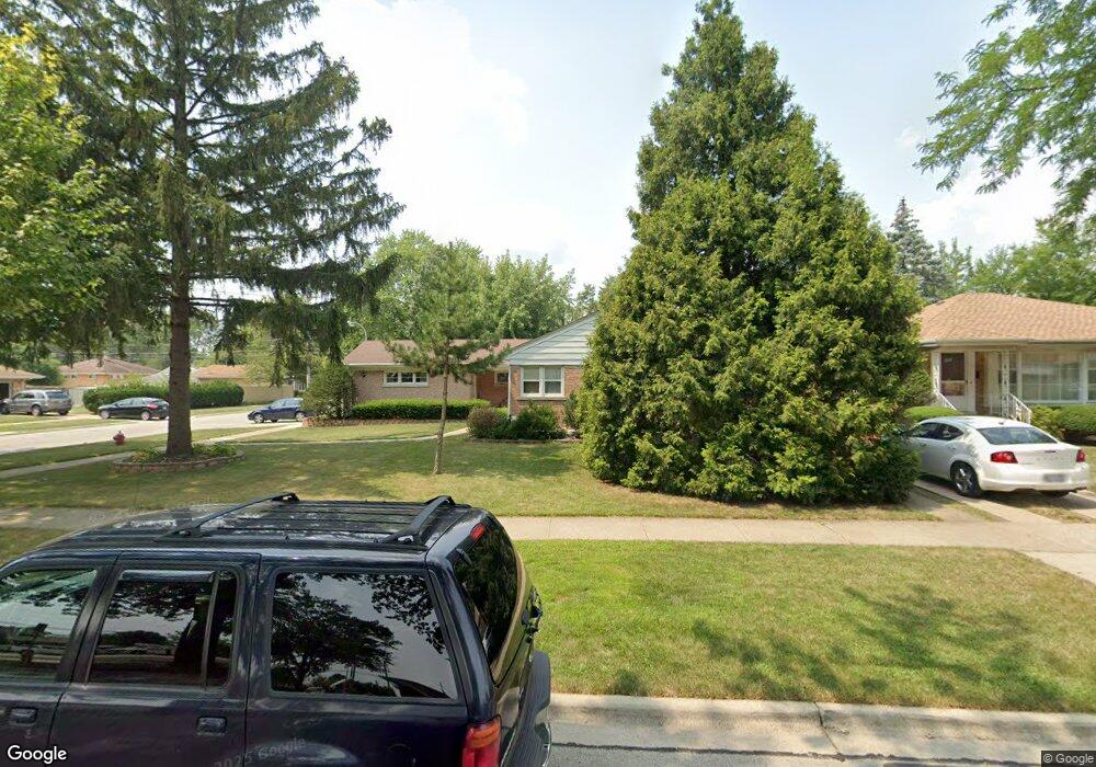
1858 Bristol Ave Westchester, IL 60154
Estimated Value: $366,000 - $395,529
4
Beds
2
Baths
1,410
Sq Ft
$269/Sq Ft
Est. Value
About This Home
This home is located at 1858 Bristol Ave, Westchester, IL 60154 and is currently estimated at $378,882, approximately $268 per square foot. 1858 Bristol Ave is a home located in Cook County with nearby schools including Westchester Primary School, Westchester Intermediate School, and Westchester Middle School.
Ownership History
Date
Name
Owned For
Owner Type
Purchase Details
Closed on
Jun 29, 2004
Sold by
Azran David
Bought by
Martinez Juan M and Martinez Abigail
Current Estimated Value
Home Financials for this Owner
Home Financials are based on the most recent Mortgage that was taken out on this home.
Original Mortgage
$227,200
Outstanding Balance
$106,231
Interest Rate
5.25%
Mortgage Type
Unknown
Estimated Equity
$272,651
Purchase Details
Closed on
Nov 25, 2003
Sold by
King
Bought by
Varan Joe and Azran David
Purchase Details
Closed on
Jul 13, 1994
Sold by
Austrevich Peter and Austrevich Doreen
Bought by
King Hattie
Home Financials for this Owner
Home Financials are based on the most recent Mortgage that was taken out on this home.
Original Mortgage
$153,000
Interest Rate
8.53%
Create a Home Valuation Report for This Property
The Home Valuation Report is an in-depth analysis detailing your home's value as well as a comparison with similar homes in the area
Home Values in the Area
Average Home Value in this Area
Purchase History
| Date | Buyer | Sale Price | Title Company |
|---|---|---|---|
| Martinez Juan M | -- | Lawyers Title Ins | |
| Martinez Juan M | $284,000 | Lawyers Title Ins | |
| Varan Joe | $176,500 | Lawyers Title Ins | |
| King Hattie | $170,000 | -- | |
| King Hattie | $170,000 | -- |
Source: Public Records
Mortgage History
| Date | Status | Borrower | Loan Amount |
|---|---|---|---|
| Open | Martinez Juan M | $227,200 | |
| Previous Owner | King Hattie | $153,000 | |
| Closed | Martinez Juan M | $28,400 |
Source: Public Records
Tax History Compared to Growth
Tax History
| Year | Tax Paid | Tax Assessment Tax Assessment Total Assessment is a certain percentage of the fair market value that is determined by local assessors to be the total taxable value of land and additions on the property. | Land | Improvement |
|---|---|---|---|---|
| 2024 | $7,003 | $30,000 | $6,560 | $23,440 |
| 2023 | $5,350 | $30,000 | $6,560 | $23,440 |
| 2022 | $5,350 | $20,957 | $5,623 | $15,334 |
| 2021 | $5,205 | $20,956 | $5,623 | $15,333 |
| 2020 | $5,151 | $20,956 | $5,623 | $15,333 |
| 2019 | $5,467 | $22,780 | $5,154 | $17,626 |
| 2018 | $5,393 | $22,780 | $5,154 | $17,626 |
| 2017 | $5,306 | $22,780 | $5,154 | $17,626 |
| 2016 | $4,992 | $19,614 | $4,686 | $14,928 |
| 2015 | $4,892 | $19,614 | $4,686 | $14,928 |
| 2014 | $4,794 | $19,614 | $4,686 | $14,928 |
| 2013 | $4,718 | $21,398 | $4,686 | $16,712 |
Source: Public Records
Map
Nearby Homes
- 1900 Manchester Ave
- 1840 Gardner Rd
- 1907 Suffolk Ave
- 1623 Manchester Ave
- 1601 Bristol Ave
- 1932 Newcastle Ave
- 1500 Bristol Ave
- 1433 Bristol Ave
- 2128 Hull Ave
- 10072 Drury Ln
- 2320 S 22nd Ave
- 1542 Homestead Rd
- 1119 Newcastle Ave
- 2237 S 22nd Ave
- 1245 S Mannheim Rd Unit 2
- 1247 S Mannheim Rd Unit 3
- 2510 S 17th Ave
- 10567 Waterford Dr
- 10531 Camelot St
- 10524 Camelot St
- 1854 Bristol Ave
- 1850 Bristol Ave
- 1900 Bristol Ave
- 1859 Manchester Ave
- 1855 Manchester Ave
- 1842 Bristol Ave
- 1906 Bristol Ave
- 1849 Manchester Ave
- 1901 Manchester Ave
- 1857 Bristol Ave
- 1855 Bristol Ave
- 1843 Manchester Ave
- 1836 Bristol Ave
- 1907 Manchester Ave
- 1912 Bristol Ave
- 1849 Bristol Ave
- 1901 Bristol Ave
- 1837 Manchester Ave
- 1911 Manchester Ave
- 1843 Bristol Ave