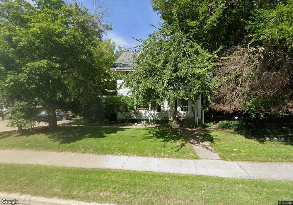
1859 Plainfield Ave NE Grand Rapids, MI 49505
Creston NeighborhoodEstimated Value: $306,000 - $453,000
4
Beds
3
Baths
1
Sq Ft
$388,824/Sq Ft
Est. Value
About This Home
This home is located at 1859 Plainfield Ave NE, Grand Rapids, MI 49505 and is currently estimated at $388,824, approximately $388,824 per square foot. 1859 Plainfield Ave NE is a home located in Kent County with nearby schools including Palmer School, Riverside Middle School, and Union High School.
Ownership History
Date
Name
Owned For
Owner Type
Purchase Details
Closed on
Mar 6, 2023
Sold by
Ramsey Janet E
Bought by
Ramsey Janet E
Current Estimated Value
Purchase Details
Closed on
Apr 8, 2015
Sold by
Christenson Eugene and Christenson Marilyn
Bought by
Green Tree Servicing Llc
Purchase Details
Closed on
Mar 22, 1996
Sold by
Wing Wing L L and Wing Chrstnsn E
Bought by
Chrstnsn Chrstnsn E and Chrstnsn M
Purchase Details
Closed on
Sep 4, 1987
Create a Home Valuation Report for This Property
The Home Valuation Report is an in-depth analysis detailing your home's value as well as a comparison with similar homes in the area
Home Values in the Area
Average Home Value in this Area
Purchase History
| Date | Buyer | Sale Price | Title Company |
|---|---|---|---|
| Ramsey Janet E | -- | -- | |
| Green Tree Servicing Llc | $80,322 | None Available | |
| Chrstnsn Chrstnsn E | $105,000 | -- | |
| -- | $70,000 | -- |
Source: Public Records
Tax History Compared to Growth
Tax History
| Year | Tax Paid | Tax Assessment Tax Assessment Total Assessment is a certain percentage of the fair market value that is determined by local assessors to be the total taxable value of land and additions on the property. | Land | Improvement |
|---|---|---|---|---|
| 2025 | $5,869 | $206,200 | $0 | $0 |
| 2024 | $5,869 | $185,100 | $0 | $0 |
| 2023 | $3,744 | $170,400 | $0 | $0 |
| 2022 | $4,058 | $152,400 | $0 | $0 |
| 2021 | $3,953 | $134,800 | $0 | $0 |
| 2020 | $4,367 | $119,400 | $0 | $0 |
| 2019 | $3,857 | $104,900 | $0 | $0 |
| 2018 | $3,452 | $89,300 | $0 | $0 |
| 2017 | $3,616 | $78,000 | $0 | $0 |
| 2016 | $3,384 | $71,000 | $0 | $0 |
| 2015 | $4,012 | $71,000 | $0 | $0 |
| 2013 | -- | $61,100 | $0 | $0 |
Source: Public Records
Map
Nearby Homes
- 2019 Plainfield Ave NE
- 321 Knapp St NE
- 2030 Sinclair Ave NE
- 612 Woodridge St NE
- 1922 Coit Ave NE
- 143 Dean St NE
- 465 Kenwood St NE
- 155 Palmer St NE
- 120 Dean St NE
- 2038 Melita Ave NE
- 310 Sweet St NE
- 240 Eleanor St NE
- 114 Knapp St NE
- 1516 Cole Ave NE
- 132 Graceland St NE
- 1757 Westlane Dr NE
- 1825 Meadowfield Dr NE
- 22 Elmwood St NE
- 15 Palmer St NE
- 1559 Coit Ave NE
- 1865 Plainfield Ave NE
- 418 Hoover St NE
- 424 Hoover St NE
- 414 Hoover St NE
- 1901 Plainfield Ave NE
- 1833 Plainfield Ave NE
- 410 Hoover St NE
- 1854 Oakwood Ave NE
- 1850 Oakwood Ave NE
- 427 Hoover St NE
- 421 Hoover St NE
- 431 Hoover St NE
- 417 Hoover St NE
- 1909 Plainfield Ave NE
- 400 Hoover St NE
- 415 Hoover St NE
- 409 Hoover St NE
- 1915 Plainfield Ave NE
- 405 Hoover St NE
- 430 Elmwood St NE