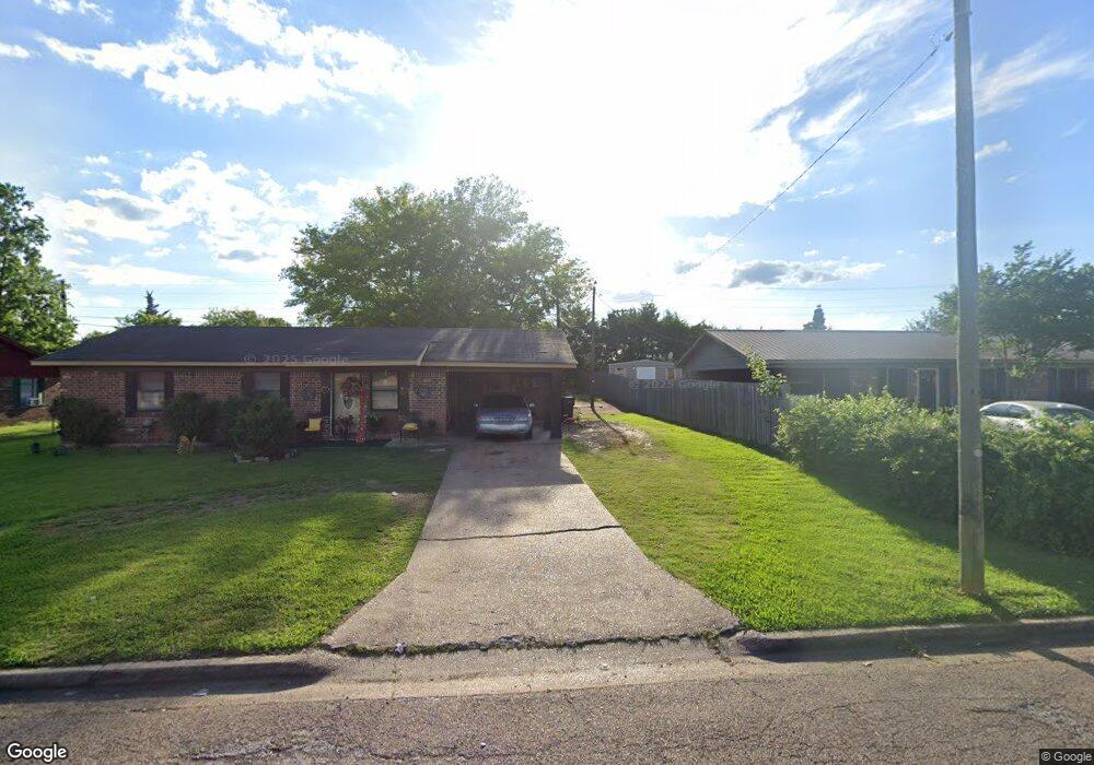
1859 Rogers Rd West Point, MS 39773
Estimated Value: $106,000 - $137,000
3
Beds
--
Bath
1,083
Sq Ft
$111/Sq Ft
Est. Value
About This Home
This home is located at 1859 Rogers Rd, West Point, MS 39773 and is currently estimated at $120,462, approximately $111 per square foot. 1859 Rogers Rd is a home located in Clay County with nearby schools including East Side Elementary School, West Clay Elementary School, and Church Hill Elementary School.
Ownership History
Date
Name
Owned For
Owner Type
Purchase Details
Closed on
Apr 3, 2025
Sold by
Doss Deloris
Bought by
Bandit Capital Llc
Current Estimated Value
Purchase Details
Closed on
Mar 19, 2008
Sold by
Deans Earlean
Bought by
Gardner Crystal
Create a Home Valuation Report for This Property
The Home Valuation Report is an in-depth analysis detailing your home's value as well as a comparison with similar homes in the area
Purchase History
| Date | Buyer | Sale Price | Title Company |
|---|---|---|---|
| Bandit Capital Llc | $544 | None Listed On Document | |
| Gardner Crystal | -- | -- |
Source: Public Records
Tax History
| Year | Tax Paid | Tax Assessment Tax Assessment Total Assessment is a certain percentage of the fair market value that is determined by local assessors to be the total taxable value of land and additions on the property. | Land | Improvement |
|---|---|---|---|---|
| 2025 | $205 | $6,048 | $750 | $5,298 |
| 2024 | $205 | $6,048 | $750 | $5,298 |
| 2023 | $557 | $5,083 | $750 | $4,333 |
| 2022 | $178 | $5,083 | $750 | $4,333 |
| 2021 | $164 | $4,767 | $750 | $4,017 |
| 2020 | $167 | $4,767 | $750 | $4,017 |
| 2019 | $150 | $4,730 | $750 | $3,980 |
| 2018 | $140 | $4,730 | $750 | $3,980 |
| 2017 | $354 | $7,095 | $1,125 | $5,970 |
| 2016 | $339 | $7,095 | $1,125 | $5,970 |
| 2015 | $316 | $6,431 | $1,125 | $5,306 |
| 2014 | -- | $6,431 | $1,125 | $5,306 |
| 2013 | -- | $6,431 | $1,125 | $5,306 |
Source: Public Records
Map
Nearby Homes
- 0 Us-45 Alt N Lot 14
- 0 Kennedy Dr
- 0 Us Hwy 45a Unit 4033641
- 0 Us Hwy 45a Unit 22-3720
- 49 Barksdale Dr
- 399 Lone Oak Dr
- 237 Guyton Cir
- 7642 Highway 45 Alternate N
- 218 Lewellen St
- 165 William Huffman Rd
- 201 Quail Ridge Rd
- 200 Tva Rd
- 593 Lone Oak Dr
- 446 Tva Rd
- 10005 Highway 45 Alternate N
- 530 E Morrow St
- 13 Cul de Sac St
- 123 Cottrell St
- 0 Mississippi 50
- 761 E Morrow St
Your Personal Tour Guide
Ask me questions while you tour the home.