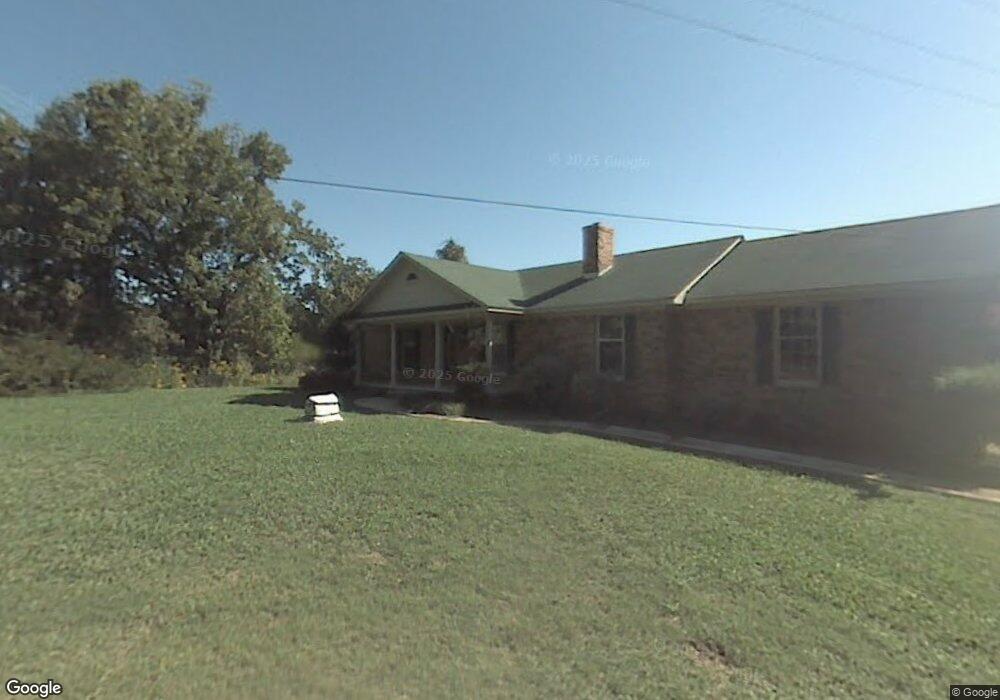
186 Adam Rd Munford, TN 38058
Estimated Value: $293,000 - $363,000
--
Bed
--
Bath
1,650
Sq Ft
$199/Sq Ft
Est. Value
About This Home
This home is located at 186 Adam Rd, Munford, TN 38058 and is currently estimated at $328,904, approximately $199 per square foot. 186 Adam Rd is a home with nearby schools including Munford Elementary School, Munford Middle School, and Munford High School.
Ownership History
Date
Name
Owned For
Owner Type
Purchase Details
Closed on
Oct 14, 2005
Sold by
Melody Smith
Bought by
Jones Charles W
Current Estimated Value
Purchase Details
Closed on
Nov 13, 2003
Sold by
Smith William S
Bought by
Melody Smith
Purchase Details
Closed on
Aug 28, 2000
Sold by
Adam Gantt Charles
Bought by
Smith William S
Purchase Details
Closed on
Apr 8, 1996
Sold by
Morton Susan A
Bought by
Adam Gantt Charles
Purchase Details
Closed on
Jun 18, 1993
Bought by
Morton Susan A
Purchase Details
Closed on
Aug 19, 1983
Bought by
Gantt Charles and Gantt Joan
Purchase Details
Closed on
Jun 25, 1974
Create a Home Valuation Report for This Property
The Home Valuation Report is an in-depth analysis detailing your home's value as well as a comparison with similar homes in the area
Home Values in the Area
Average Home Value in this Area
Purchase History
| Date | Buyer | Sale Price | Title Company |
|---|---|---|---|
| Jones Charles W | -- | -- | |
| Melody Smith | -- | -- | |
| Smith William S | $140,000 | -- | |
| Adam Gantt Charles | $108,000 | -- | |
| Morton Susan A | $109,000 | -- | |
| Gantt Charles | -- | -- | |
| -- | -- | -- |
Source: Public Records
Tax History Compared to Growth
Tax History
| Year | Tax Paid | Tax Assessment Tax Assessment Total Assessment is a certain percentage of the fair market value that is determined by local assessors to be the total taxable value of land and additions on the property. | Land | Improvement |
|---|---|---|---|---|
| 2024 | -- | $72,825 | $25,075 | $47,750 |
| 2023 | $620 | $72,825 | $25,075 | $47,750 |
| 2022 | $1,661 | $51,750 | $18,425 | $33,325 |
| 2021 | $1,661 | $51,750 | $18,425 | $33,325 |
| 2020 | $1,660 | $51,750 | $18,425 | $33,325 |
| 2019 | $1,559 | $40,525 | $16,775 | $23,750 |
| 2018 | $1,478 | $40,525 | $16,775 | $23,750 |
| 2017 | $1,478 | $40,525 | $16,775 | $23,750 |
| 2016 | $1,478 | $40,525 | $16,775 | $23,750 |
| 2015 | $1,476 | $40,525 | $16,775 | $23,750 |
| 2014 | $1,375 | $40,528 | $0 | $0 |
Source: Public Records
Map
Nearby Homes
- 99 Margaret Place
- 72 Margaret Place
- 13724 51 S Highway Hwy
- 94 Karen St
- 01 Cobb Ave
- 02 Cobb Ave
- 03 Cobb Ave
- 76 Christie Ave
- 0 Hwy 51 Hwy S Unit 10206150
- 310 Wooten Oaks Cir
- 434 West Dr
- 18 Fox Trot Ln
- 95 Wallace Cove
- 33 Hattie Ln
- Beckett Plan at The Villages of Green Meadows
- Bennett Plan at The Villages of Green Meadows
- Cooper Plan at The Villages of Green Meadows
- Carver Plan at The Villages of Green Meadows
- Miller Plan at The Villages of Green Meadows
- Spencer Plan at The Villages of Green Meadows