186 Coon Hunters Rd Brandon, MS 39042
Estimated Value: $253,000 - $305,000
4
Beds
2
Baths
2,103
Sq Ft
$137/Sq Ft
Est. Value
About This Home
This home is located at 186 Coon Hunters Rd, Brandon, MS 39042 and is currently estimated at $288,801, approximately $137 per square foot. 186 Coon Hunters Rd is a home located in Rankin County with nearby schools including Rouse Elementary School, Brandon Elementary School, and Stonebridge Elementary School.
Ownership History
Date
Name
Owned For
Owner Type
Purchase Details
Closed on
Sep 3, 2019
Sold by
Dupree Richard S and Dupree Jenniger
Bought by
Dupree Brenda G and Supree Stanley
Current Estimated Value
Home Financials for this Owner
Home Financials are based on the most recent Mortgage that was taken out on this home.
Original Mortgage
$132,000
Outstanding Balance
$115,858
Interest Rate
3.7%
Mortgage Type
New Conventional
Estimated Equity
$172,943
Purchase Details
Closed on
Feb 21, 2008
Sold by
Albert Albert and Dupree Gwen
Bought by
Dupree Richard Stanley and Dupree Jennifer
Purchase Details
Closed on
Oct 4, 2007
Sold by
Dupree Stanley
Bought by
Dupree Gwen
Home Financials for this Owner
Home Financials are based on the most recent Mortgage that was taken out on this home.
Original Mortgage
$145,825
Interest Rate
6.44%
Create a Home Valuation Report for This Property
The Home Valuation Report is an in-depth analysis detailing your home's value as well as a comparison with similar homes in the area
Home Values in the Area
Average Home Value in this Area
Purchase History
| Date | Buyer | Sale Price | Title Company |
|---|---|---|---|
| Dupree Brenda G | -- | -- | |
| Dupree Richard Stanley | -- | -- | |
| Dupree Gwen | -- | -- |
Source: Public Records
Mortgage History
| Date | Status | Borrower | Loan Amount |
|---|---|---|---|
| Open | Dupree Brenda G | $132,000 | |
| Previous Owner | Dupree Gwen | $145,825 |
Source: Public Records
Tax History Compared to Growth
Tax History
| Year | Tax Paid | Tax Assessment Tax Assessment Total Assessment is a certain percentage of the fair market value that is determined by local assessors to be the total taxable value of land and additions on the property. | Land | Improvement |
|---|---|---|---|---|
| 2024 | $1,132 | $14,217 | $0 | $0 |
| 2023 | $884 | $11,996 | $0 | $0 |
| 2022 | $866 | $11,996 | $0 | $0 |
| 2021 | $842 | $11,746 | $0 | $0 |
| 2020 | $842 | $11,746 | $0 | $0 |
| 2019 | $748 | $10,479 | $0 | $0 |
| 2018 | $727 | $10,479 | $0 | $0 |
| 2017 | $727 | $10,479 | $0 | $0 |
| 2016 | $676 | $10,497 | $0 | $0 |
| 2015 | $676 | $10,497 | $0 | $0 |
| 2014 | $654 | $10,497 | $0 | $0 |
| 2013 | -- | $10,497 | $0 | $0 |
Source: Public Records
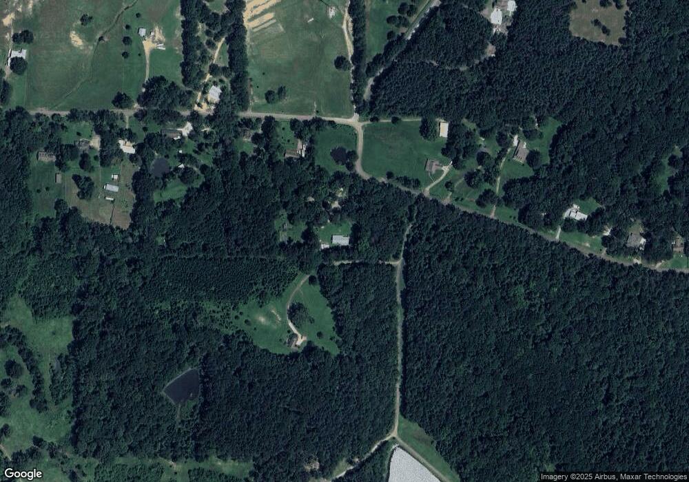
Map
Nearby Homes
- 1074 Ridgeside Dr
- 0 Hillcrest Place
- 0 Danielle Cove Unit 24270205
- 0 Danielle Cove Unit 4118567
- 001 Evergreen Dr
- BRIANNE Plan at Cornerstone
- KINGSTON Plan at Cornerstone
- COLLINS Plan at Cornerstone
- Avery Plan at Cornerstone
- MCKENZIE Plan at Cornerstone
- MILA Plan at Cornerstone
- 129 Cornerstone Dr
- 137 Cornerstone Dr
- 134 Cornerstone Dr
- 252 Penny Ln
- 155 Dominion Pkwy
- 136 Cornerstone Dr
- 242 Penny Ln
- 115 Ashley Dr
- 0 Grants Ferry Pkwy Unit 4101138
- 186 Coonhunters Rd
- 180 Coon Hunters Rd
- 520 Cypress Lake
- 176 Coon Hunters Rd
- 187 Coon Hunters Rd
- 2 Longhorn Dr Unit 2
- 2 Longhorn Dr
- 1 Longhorn Dr Unit 10
- 4 Longhorn Dr Unit 4
- 10 Longhorn Dr Unit 10
- 8 Longhorn Dr Unit 8
- 999 Longhorn Dr
- 1 Longhorn Dr
- 8 Longhorn Dr
- 10 Longhorn Dr
- 4 Longhorn Dr
- 0 Longhorn Dr Unit 246143
- 0 Longhorn Dr Unit 1173077
- 0 Longhorn Dr Unit 1173090
- 0 Longhorn Dr Unit 1173612