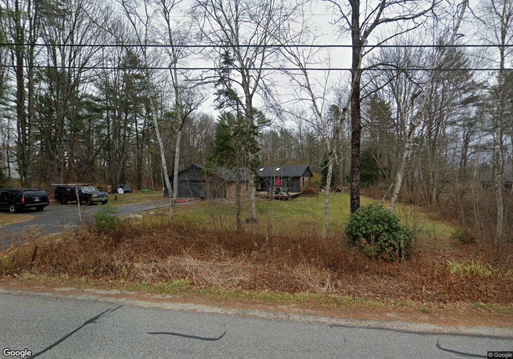
186 Flying Point Rd Freeport, ME 04032
Estimated Value: $632,000 - $1,249,000
4
Beds
3
Baths
5,200
Sq Ft
$171/Sq Ft
Est. Value
About This Home
This home is located at 186 Flying Point Rd, Freeport, ME 04032 and is currently estimated at $888,282, approximately $170 per square foot. 186 Flying Point Rd is a home located in Cumberland County with nearby schools including Morse Street School, Mast Landing School, and Freeport Middle School.
Ownership History
Date
Name
Owned For
Owner Type
Purchase Details
Closed on
May 2, 2014
Sold by
Coffin Nathaniel J and Cirrinone Jonathan M
Bought by
Williamson Thomas L and Winkler Jennifer
Current Estimated Value
Home Financials for this Owner
Home Financials are based on the most recent Mortgage that was taken out on this home.
Original Mortgage
$254,500
Outstanding Balance
$193,886
Interest Rate
4.32%
Mortgage Type
New Conventional
Estimated Equity
$694,396
Purchase Details
Closed on
Oct 12, 2010
Sold by
Shaw Robert S and Distler Caroline S
Bought by
Cirrinone Jonathan M and Coffin Nathaniel J
Home Financials for this Owner
Home Financials are based on the most recent Mortgage that was taken out on this home.
Original Mortgage
$271,345
Interest Rate
4.5%
Mortgage Type
FHA
Create a Home Valuation Report for This Property
The Home Valuation Report is an in-depth analysis detailing your home's value as well as a comparison with similar homes in the area
Home Values in the Area
Average Home Value in this Area
Purchase History
| Date | Buyer | Sale Price | Title Company |
|---|---|---|---|
| Williamson Thomas L | -- | -- | |
| Cirrinone Jonathan M | $275,000 | -- |
Source: Public Records
Mortgage History
| Date | Status | Borrower | Loan Amount |
|---|---|---|---|
| Open | Williamson Thomas L | $254,500 | |
| Previous Owner | Cirrinone Jonathan M | $271,345 |
Source: Public Records
Tax History Compared to Growth
Tax History
| Year | Tax Paid | Tax Assessment Tax Assessment Total Assessment is a certain percentage of the fair market value that is determined by local assessors to be the total taxable value of land and additions on the property. | Land | Improvement |
|---|---|---|---|---|
| 2024 | $6,588 | $493,500 | $204,100 | $289,400 |
| 2023 | $5,991 | $435,700 | $185,600 | $250,100 |
| 2022 | $5,676 | $415,800 | $165,700 | $250,100 |
| 2021 | $5,551 | $415,800 | $165,700 | $250,100 |
| 2020 | $5,372 | $383,700 | $153,400 | $230,300 |
| 2019 | $6,705 | $364,300 | $144,800 | $219,500 |
| 2018 | $5,152 | $342,300 | $134,500 | $207,800 |
| 2017 | $6,100 | $330,200 | $131,900 | $198,300 |
| 2016 | $6,065 | $298,800 | $114,800 | $184,000 |
Source: Public Records
Map
Nearby Homes
- 34 Newfield Rd
- 83 Central Ave
- 46 Blackstone Club Rd
- 853 Mere Point Rd
- 15 Tinkers Way
- Map 80 Lot 18-0 White Island
- 11 Orchard Hill Rd
- 0 Gundalo Gap Rd Unit 1638108
- 71 Merganser Way
- 0 Prout Rd
- 1260 Us Route 1
- 31 Allen Range Rd
- 212 Main St
- 5 Round Hill Ln
- 46 Casco Rd
- 1612 U S Route 1
- 206 Woodside Rd
- 10 Durham Rd
- 42 Durham Rd
- 26 Harvest Ridge Rd Unit 24
- 186 Flying Point Rd
- 186 Flying Point Rd
- 186 Flying Point Rd
- 182 Flying Point Rd
- 188 Flying Point Rd
- 202 Flying Point Rd
- Lot 1 Surry Ln
- 185 Flying Point Rd
- Lot 3 Surry Ln
- 200 Flying Point Rd
- Lot 4 Surry Ln
- 189 Flying Point Rd
- Lot 7 Surry Ln
- Lot 1 Firefly Dr
- 19-B-1 Firefly Dr
- 19-B-2&3 Firefly Dr
- Lot 8 Surry Ln
- Lot10 Surry Ln
- 10 Surry
- Lot 10 Surry Ln