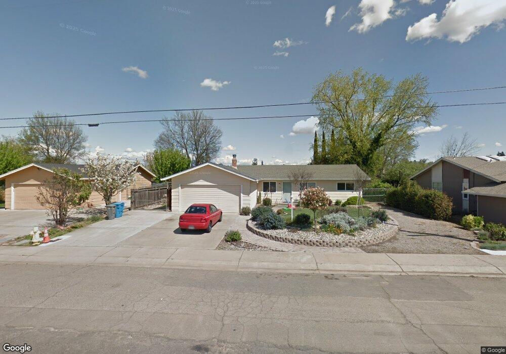
186 Harding Rd Yuba City, CA 95993
Estimated Value: $272,000 - $414,000
3
Beds
2
Baths
1,380
Sq Ft
$261/Sq Ft
Est. Value
About This Home
This home is located at 186 Harding Rd, Yuba City, CA 95993 and is currently estimated at $360,826, approximately $261 per square foot. 186 Harding Rd is a home located in Sutter County with nearby schools including Andros Karperos, River Valley High School, and Adventist Christian School.
Ownership History
Date
Name
Owned For
Owner Type
Purchase Details
Closed on
Oct 14, 2021
Sold by
Wagner David A and Wagner Bypass Trust
Bought by
Ladd Douglas
Current Estimated Value
Purchase Details
Closed on
Dec 8, 2016
Sold by
Wagner Mary Jane and Wagner Family Trust
Bought by
Wagner Mary Jane and Wagner Bypass Trust
Purchase Details
Closed on
Aug 17, 2010
Sold by
Larson Paul A and Larson Marlene
Bought by
Wagner Larry A and Wagner Mary Jane
Create a Home Valuation Report for This Property
The Home Valuation Report is an in-depth analysis detailing your home's value as well as a comparison with similar homes in the area
Home Values in the Area
Average Home Value in this Area
Purchase History
| Date | Buyer | Sale Price | Title Company |
|---|---|---|---|
| Ladd Douglas | -- | None Available | |
| Wagner Mary Jane | -- | None Available | |
| Wagner Larry A | $129,000 | None Available |
Source: Public Records
Tax History Compared to Growth
Tax History
| Year | Tax Paid | Tax Assessment Tax Assessment Total Assessment is a certain percentage of the fair market value that is determined by local assessors to be the total taxable value of land and additions on the property. | Land | Improvement |
|---|---|---|---|---|
| 2025 | $2,731 | $165,118 | $37,001 | $128,117 |
| 2024 | $2,731 | $161,881 | $36,276 | $125,605 |
| 2023 | $2,731 | $158,708 | $35,565 | $123,143 |
| 2022 | $1,991 | $155,597 | $34,868 | $120,729 |
| 2021 | $1,889 | $152,547 | $34,185 | $118,362 |
| 2020 | $1,858 | $150,983 | $33,835 | $117,148 |
| 2019 | $1,820 | $148,022 | $33,171 | $114,851 |
| 2018 | $1,796 | $145,120 | $32,521 | $112,599 |
| 2017 | $1,754 | $142,274 | $31,883 | $110,391 |
| 2016 | $1,722 | $139,484 | $31,258 | $108,226 |
| 2015 | $1,696 | $137,388 | $30,788 | $106,600 |
| 2014 | $1,677 | $134,697 | $30,185 | $104,512 |
Source: Public Records
Map
Nearby Homes
- 1955 Jason Ct
- 156 Bristol Way
- 238 Anita Way
- 152 College Hill Way
- 170 Nantucket Way
- 138 Nantucket Way
- 1781 Franklin Rd Unit 36
- 1781 Franklin Rd Unit 59
- 1665 Michelle Dr
- 683 Mark Thomas Dr
- 1571 Holly Tree Dr
- 1545 Camino Del Oro
- 430 Neil Dr
- 2624 Azalea Way
- 2690 Red Bud Ln
- 955 Carson Dr
- 2661 Imperial Way
- 0 Lassen Blvd
- 1344 Kean Ave
- 1330 Kean Ave
- 178 Harding Rd Unit 1
- 178 Harding Rd
- 200 Harding Rd
- 1960 Jason Ct
- 1961 Jason Ct
- 160 Harding Rd
- 214 Harding Rd
- 1954 Jason Ct
- 148 Harding Rd
- 1956 Lambert Ct
- 224 Harding Rd
- 1944 Jason Ct
- 1945 Jason Ct
- 1969 Michelle Dr
- 1957 Michelle Dr
- 1950 Lambert Ct
- 1962 Lambert Ct
- 136 Harding Rd
- 1949 Michelle Dr
- 223 Oliver Dr