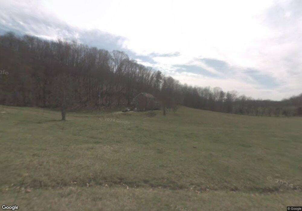
186 Lockner Rd Telford, TN 37690
Estimated Value: $428,000 - $713,924
3
Beds
2
Baths
2,186
Sq Ft
$253/Sq Ft
Est. Value
About This Home
This home is located at 186 Lockner Rd, Telford, TN 37690 and is currently estimated at $552,481, approximately $252 per square foot. 186 Lockner Rd is a home located in Washington County with nearby schools including Lamar Elementary School and David Crockett High School.
Ownership History
Date
Name
Owned For
Owner Type
Purchase Details
Closed on
Nov 30, 2006
Bought by
Wolff William Fred
Current Estimated Value
Home Financials for this Owner
Home Financials are based on the most recent Mortgage that was taken out on this home.
Original Mortgage
$232,000
Outstanding Balance
$138,554
Interest Rate
6.29%
Estimated Equity
$413,927
Purchase Details
Closed on
Oct 10, 1989
Bought by
Allen Ervin J and Allen Ellen L
Purchase Details
Closed on
Mar 28, 1986
Bought by
Mcmahan Alfred and Mcmahan Ruth
Create a Home Valuation Report for This Property
The Home Valuation Report is an in-depth analysis detailing your home's value as well as a comparison with similar homes in the area
Home Values in the Area
Average Home Value in this Area
Purchase History
| Date | Buyer | Sale Price | Title Company |
|---|---|---|---|
| Wolff William Fred | $292,000 | -- | |
| Wolff William Fred | $292,000 | -- | |
| Allen Ervin J | $48,000 | -- | |
| Mcmahan Alfred | $46,000 | -- |
Source: Public Records
Mortgage History
| Date | Status | Borrower | Loan Amount |
|---|---|---|---|
| Open | Mcmahan Alfred | $232,000 |
Source: Public Records
Tax History Compared to Growth
Tax History
| Year | Tax Paid | Tax Assessment Tax Assessment Total Assessment is a certain percentage of the fair market value that is determined by local assessors to be the total taxable value of land and additions on the property. | Land | Improvement |
|---|---|---|---|---|
| 2024 | $2,719 | $159,025 | $30,050 | $128,975 |
| 2022 | $1,888 | $87,800 | $23,550 | $64,250 |
| 2021 | $1,484 | $66,950 | $23,550 | $43,400 |
| 2020 | $1,516 | $70,500 | $23,550 | $46,950 |
| 2019 | $1,632 | $70,500 | $23,550 | $46,950 |
| 2018 | $1,632 | $68,575 | $23,550 | $45,025 |
| 2017 | $1,632 | $68,575 | $23,550 | $45,025 |
| 2016 | $1,632 | $68,575 | $23,550 | $45,025 |
| 2015 | $1,358 | $68,575 | $23,550 | $45,025 |
| 2014 | $1,320 | $66,650 | $23,550 | $43,100 |
Source: Public Records
Map
Nearby Homes
- Tbd Treadway Trail
- 313 Treadway Trail
- Tract 1 Treadway Trail
- Tract 2 Treadway Trail
- 1109 Tennessee 107
- 269 Oklahoma Rd
- 337 Highway 107
- 542 Telford New Victory Rd
- 255 Tennessee 107
- 121 Dee Runion Rd
- 161 Jay Barnett Rd
- 293 Miller Rd
- 195 Cecil White Dr
- 266 Miller Rd
- 3102 Highway 81 S
- 201 Hartsell Rd
- 117 Maverick Rd
- 205 Clyde Miller Dr
- 214 Telford New Victory Rd
- 2235 Old State Route 34
- 182 Lockner Rd
- 189 Lockner Rd
- 151 Lockner Rd
- 715 Taylor Bridge Rd
- 142 Lockner Rd
- 184 Cloyd Rd
- 123 Lockner Rd
- 153 Cloyd Rd
- 138 Cloyd Rd
- 126 Cloyd Rd
- 377 Mount Wesley Rd
- 686 Taylor Bridge Rd
- 393 Mount Wesley Rd
- 431 Mount Wesley Rd
- 345 Mount Wesley Rd
- 345 Mount Wesley Rd Unit 1
- 0 Taylor Bridge Rd Unit 121578
- 0 Taylor Bridge Rd Unit 247551
- 0 Taylor Bridge Rd Unit 223794
- 715-1 Taylor Bridge Rd