Estimated Value: $452,000 - $745,000
4
Beds
2
Baths
720
Sq Ft
$902/Sq Ft
Est. Value
About This Home
This home is located at 186 Marrs Point Rd, Wales, ME 04280 and is currently estimated at $649,379, approximately $901 per square foot. 186 Marrs Point Rd is a home located in Androscoggin County with nearby schools including Sabattus Primary School, Libby-Tozier School, and Carrie Ricker School.
Ownership History
Date
Name
Owned For
Owner Type
Purchase Details
Closed on
Sep 11, 2020
Sold by
Leonard Jane F and Giroux Daniel A
Bought by
Martin Michael M and Martin Lesley A
Current Estimated Value
Home Financials for this Owner
Home Financials are based on the most recent Mortgage that was taken out on this home.
Original Mortgage
$276,000
Outstanding Balance
$244,477
Interest Rate
2.8%
Mortgage Type
New Conventional
Estimated Equity
$404,902
Create a Home Valuation Report for This Property
The Home Valuation Report is an in-depth analysis detailing your home's value as well as a comparison with similar homes in the area
Home Values in the Area
Average Home Value in this Area
Purchase History
| Date | Buyer | Sale Price | Title Company |
|---|---|---|---|
| Martin Michael M | -- | None Available | |
| Martin Michael M | -- | None Available |
Source: Public Records
Mortgage History
| Date | Status | Borrower | Loan Amount |
|---|---|---|---|
| Open | Martin Michael M | $276,000 | |
| Closed | Martin Michael M | $276,000 |
Source: Public Records
Tax History Compared to Growth
Tax History
| Year | Tax Paid | Tax Assessment Tax Assessment Total Assessment is a certain percentage of the fair market value that is determined by local assessors to be the total taxable value of land and additions on the property. | Land | Improvement |
|---|---|---|---|---|
| 2024 | $7,434 | $657,904 | $287,200 | $370,704 |
| 2023 | $6,140 | $323,138 | $143,650 | $179,488 |
| 2022 | $5,639 | $323,138 | $143,650 | $179,488 |
| 2021 | $5,283 | $321,138 | $143,650 | $177,488 |
| 2020 | $4,364 | $247,230 | $143,650 | $103,580 |
| 2019 | $3,931 | $247,230 | $143,650 | $103,580 |
| 2018 | $3,931 | $247,230 | $143,650 | $103,580 |
| 2017 | $3,671 | $247,230 | $143,650 | $103,580 |
| 2016 | $4,017 | $247,230 | $143,650 | $103,580 |
| 2015 | $4,079 | $247,230 | $143,650 | $103,580 |
| 2014 | $4,129 | $247,230 | $143,650 | $103,580 |
Source: Public Records
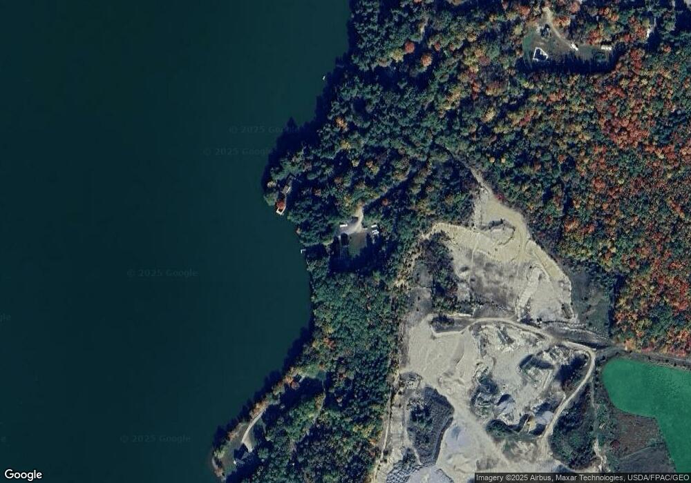
Map
Nearby Homes
- 88 Barnard Cove Rd
- 253 Bull Run Rd
- 63 Riley Rd
- 71 5th Ave Unit 15
- 148 School Rd
- 147 Greene St
- 4 Nancy Ln
- 49 Hemlock St
- 18 Terrace View
- 18 Waters Edge Dr
- 83 Phelan St
- 77 Southern Terrace
- 66 S South Hatch Hill Rd
- 41 Hidden Pond Rd
- 22 Woodside Dr
- Lot# A College Rd
- 0 College Rd
- 6 Pond Ridge Dr
- 65 Autumn Ridge
- R01L73 & M8l32 Marsh Rd
- 188 Marrs Point Rd
- 190 Marrs Point Rd
- 159 Marrs Point Rd
- 151 Marrs Point Rd
- 34 Custer Cove
- 12 N Marrs Point Rd
- 12 N Marrs Point Rd
- 14 N Marrs Point Rd
- 12-14 N Marr's Point Rd
- 126 N Marrs Point Rd
- 190 N Marrs Point Rd
- 126 Marr's Point Rd
- 156 Libby Rd
- 133 Marr's Point Rd
- 48 N Marrs Point Rd
- 12 N Marr's Point Rd
- 26 Heather Ln
- 30 Heather Ln
- 121 Marrs Point Rd
- 117 N Marrs Point Rd