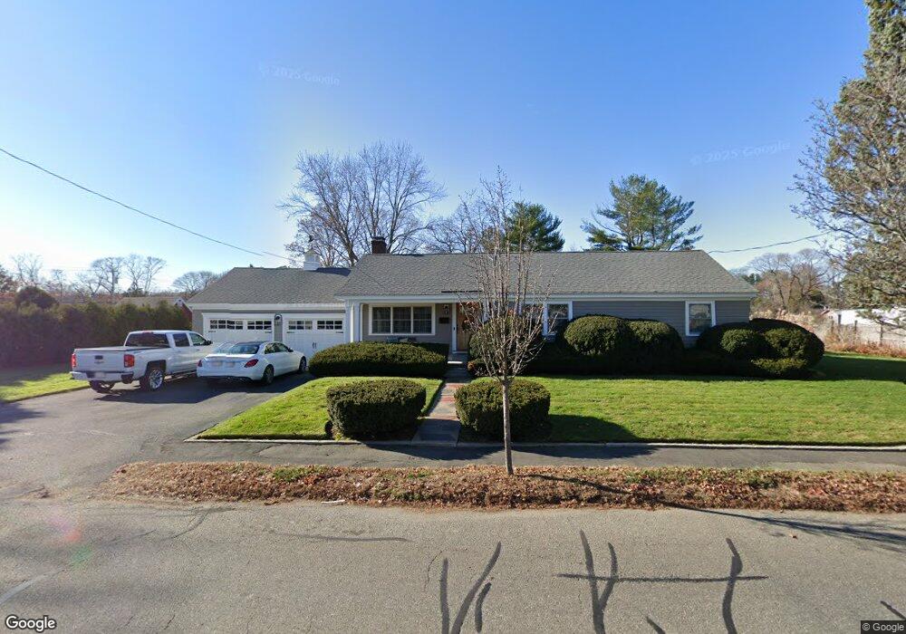
186 Mckay St Beverly, MA 01915
North Beverly NeighborhoodEstimated Value: $647,000 - $706,000
3
Beds
2
Baths
1,210
Sq Ft
$559/Sq Ft
Est. Value
About This Home
This home is located at 186 Mckay St, Beverly, MA 01915 and is currently estimated at $676,488, approximately $559 per square foot. 186 Mckay St is a home located in Essex County with nearby schools including Beverly High School, The Saints Academy, and Shore Country Day School.
Ownership History
Date
Name
Owned For
Owner Type
Purchase Details
Closed on
Feb 4, 2003
Sold by
Fiorini Albert J
Bought by
Pinto Jaime C and Pinto Nicole L
Current Estimated Value
Home Financials for this Owner
Home Financials are based on the most recent Mortgage that was taken out on this home.
Original Mortgage
$274,500
Outstanding Balance
$114,493
Interest Rate
6.09%
Mortgage Type
Purchase Money Mortgage
Estimated Equity
$561,995
Create a Home Valuation Report for This Property
The Home Valuation Report is an in-depth analysis detailing your home's value as well as a comparison with similar homes in the area
Home Values in the Area
Average Home Value in this Area
Purchase History
| Date | Buyer | Sale Price | Title Company |
|---|---|---|---|
| Pinto Jaime C | $305,000 | -- |
Source: Public Records
Mortgage History
| Date | Status | Borrower | Loan Amount |
|---|---|---|---|
| Open | Pinto Jaime C | $274,500 | |
| Previous Owner | Pinto Jaime C | $224,000 | |
| Previous Owner | Pinto Jaime C | $175,000 | |
| Previous Owner | Pinto Jaime C | $100,000 |
Source: Public Records
Tax History
| Year | Tax Paid | Tax Assessment Tax Assessment Total Assessment is a certain percentage of the fair market value that is determined by local assessors to be the total taxable value of land and additions on the property. | Land | Improvement |
|---|---|---|---|---|
| 2025 | $6,142 | $558,900 | $377,100 | $181,800 |
| 2024 | $5,842 | $520,200 | $338,400 | $181,800 |
| 2023 | $5,399 | $479,500 | $297,800 | $181,700 |
| 2022 | $5,389 | $442,800 | $261,100 | $181,700 |
| 2021 | $5,060 | $398,400 | $230,100 | $168,300 |
| 2020 | $4,914 | $383,000 | $214,700 | $168,300 |
| 2019 | $4,684 | $354,600 | $197,300 | $157,300 |
| 2015 | $3,821 | $270,800 | $135,400 | $135,400 |
Source: Public Records
Map
Nearby Homes
- 61 Ellsworth Ave
- 50 Balch St Unit 300
- 50 Balch St Unit 200
- 50 Balch St Unit 205
- 50 Balch St Unit 206
- 50 Balch St Unit 308
- 50 Balch St Unit 511
- 50 Balch St Unit 209
- 50 Balch St Unit 409
- 50 Balch St Unit 316
- 50 Balch St Unit 315
- 50 Balch St Unit 103
- 50 Balch St Unit 208
- 50 Balch St Unit 412
- 50 Balch St Unit 112
- 4 Duck Pond Rd Unit 225
- 29 Conant St
- 9 Swan St Unit 2
- 98 Northridge Rd Unit 98
- 40 Heather St Unit 204
Your Personal Tour Guide
Ask me questions while you tour the home.