186 Tiahs Cove Rd Vineyard Haven, MA 02568
West Tisbury NeighborhoodEstimated Value: $1,101,000 - $1,726,000
3
Beds
2
Baths
1,888
Sq Ft
$778/Sq Ft
Est. Value
About This Home
This home is located at 186 Tiahs Cove Rd, Vineyard Haven, MA 02568 and is currently estimated at $1,468,548, approximately $777 per square foot. 186 Tiahs Cove Rd is a home located in Dukes County with nearby schools including Martha's Vineyard Regional High School.
Ownership History
Date
Name
Owned For
Owner Type
Purchase Details
Closed on
Oct 6, 2015
Sold by
Dowd Michael R and Dowd Jenny M
Bought by
Woollcott-Smith Keston and Smith Leah J
Current Estimated Value
Purchase Details
Closed on
Nov 29, 2005
Sold by
Rezendes Antone H and Rezendes Doreen A
Bought by
Dowd Jenny M and Dowd Michael R
Home Financials for this Owner
Home Financials are based on the most recent Mortgage that was taken out on this home.
Original Mortgage
$540,000
Interest Rate
6.06%
Mortgage Type
Purchase Money Mortgage
Create a Home Valuation Report for This Property
The Home Valuation Report is an in-depth analysis detailing your home's value as well as a comparison with similar homes in the area
Home Values in the Area
Average Home Value in this Area
Purchase History
| Date | Buyer | Sale Price | Title Company |
|---|---|---|---|
| Woollcott-Smith Keston | -- | -- | |
| Dowd Jenny M | $600,000 | -- |
Source: Public Records
Mortgage History
| Date | Status | Borrower | Loan Amount |
|---|---|---|---|
| Previous Owner | Dowd Jenny M | $540,000 |
Source: Public Records
Tax History Compared to Growth
Tax History
| Year | Tax Paid | Tax Assessment Tax Assessment Total Assessment is a certain percentage of the fair market value that is determined by local assessors to be the total taxable value of land and additions on the property. | Land | Improvement |
|---|---|---|---|---|
| 2025 | $5,840 | $1,289,100 | $692,800 | $596,300 |
| 2024 | $5,298 | $1,232,000 | $672,700 | $559,300 |
| 2023 | $5,092 | $1,167,900 | $640,700 | $527,200 |
| 2022 | $4,786 | $822,400 | $404,900 | $417,500 |
| 2021 | $4,349 | $712,900 | $352,100 | $360,800 |
| 2020 | $4,312 | $710,400 | $346,700 | $363,700 |
| 2019 | $4,218 | $682,500 | $346,700 | $335,800 |
| 2018 | $3,984 | $657,500 | $331,700 | $325,800 |
| 2017 | $3,661 | $613,200 | $308,600 | $304,600 |
| 2016 | $3,433 | $566,500 | $263,100 | $303,400 |
| 2015 | $3,303 | $578,400 | $275,000 | $303,400 |
| 2014 | $2,804 | $518,300 | $292,500 | $225,800 |
Source: Public Records
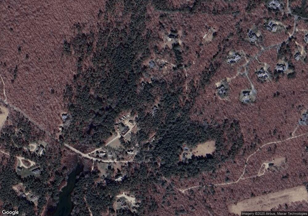
Map
Nearby Homes
- 32 Edgartown - West Tisbury Rd Unit 81
- 104 Pond View Farm Rd
- 10 Danls Way
- 111 Charles Neck Way
- 25 Vineyard Meadow Farms Rd
- 16 South Rd
- 40 Scotchmans Ln
- 146 Quansoo Rd
- 25 Coffins Field Rd
- 25 Coffins Field Rd Unit 18
- 22 Bramble Path Unit 214
- 22 Bramble Path
- 651 State Rd
- 9 Galway Rd
- 229 Oak Ln
- 52 Old Coach Rd
- 11 By the Woods
- 99 Cygnet Way Unit 103
- 15 Old Farm Rd
- 31 Josiah Sachem Way
- 164 Tiahs Cove Rd
- 180 Tiahs Cove Rd
- 190 Tiahs Cove Rd
- 32 S Pond Rd
- 170 Tiahs Cove Rd
- 28 Smith Ln
- 181 Tiahs Cove Rd
- 171 Tiahs Cove Rd
- 150 Tiahs Cove Rd
- 32 S Pond Rd
- 29 S Pond Rd
- 24 S Pond Rd
- 194 Pond
- 194 Pond Rd
- 32 Plum Bush Point Rd
- 37 Bradley Martin Rd
- 19 S Pond Rd
- 40 Plum Bush Point Rd
- 200 Pond Rd
- 188 Pond Rd