186 W Lazy Acres Ln Unit 2 Kamas, UT 84036
Kamas Valley NeighborhoodEstimated Value: $3,141,000 - $4,852,000
--
Bed
1
Bath
4,723
Sq Ft
$853/Sq Ft
Est. Value
About This Home
This home is located at 186 W Lazy Acres Ln Unit 2, Kamas, UT 84036 and is currently estimated at $4,026,550, approximately $852 per square foot. 186 W Lazy Acres Ln Unit 2 is a home located in Summit County with nearby schools including South Summit Elementary School and South Summit High School.
Ownership History
Date
Name
Owned For
Owner Type
Purchase Details
Closed on
Aug 8, 2023
Sold by
Gough Wayne and Gough Jana
Bought by
Carley A Wells Revocable Trust and Wells
Current Estimated Value
Purchase Details
Closed on
Aug 14, 2020
Sold by
Ulibarri Richard and Ulibarri Kelsey
Bought by
Gough Wayne and Gough Jana
Home Financials for this Owner
Home Financials are based on the most recent Mortgage that was taken out on this home.
Original Mortgage
$120,000
Interest Rate
3%
Mortgage Type
Unknown
Purchase Details
Closed on
Jan 9, 2015
Sold by
Lane Myers Construction Lc
Bought by
Ulibarri Richard and Ulibarri Kelsey
Home Financials for this Owner
Home Financials are based on the most recent Mortgage that was taken out on this home.
Original Mortgage
$26,944
Interest Rate
3.92%
Mortgage Type
Purchase Money Mortgage
Create a Home Valuation Report for This Property
The Home Valuation Report is an in-depth analysis detailing your home's value as well as a comparison with similar homes in the area
Home Values in the Area
Average Home Value in this Area
Purchase History
| Date | Buyer | Sale Price | Title Company |
|---|---|---|---|
| Carley A Wells Revocable Trust | -- | Coalition Title | |
| Gough Wayne | -- | First American | |
| Ulibarri Richard | -- | Highland Title |
Source: Public Records
Mortgage History
| Date | Status | Borrower | Loan Amount |
|---|---|---|---|
| Previous Owner | Gough Wayne | $120,000 | |
| Previous Owner | Ulibarri Richard | $26,944 |
Source: Public Records
Tax History Compared to Growth
Tax History
| Year | Tax Paid | Tax Assessment Tax Assessment Total Assessment is a certain percentage of the fair market value that is determined by local assessors to be the total taxable value of land and additions on the property. | Land | Improvement |
|---|---|---|---|---|
| 2024 | $5,881 | $1,434,865 | $275,000 | $1,159,865 |
| 2023 | $5,881 | $1,126,722 | $275,000 | $851,722 |
| 2022 | $5,881 | $984,460 | $236,600 | $747,860 |
| 2021 | $1,744 | $236,600 | $236,600 | $0 |
| 2020 | $921 | $116,600 | $116,600 | $0 |
| 2019 | $1,019 | $116,600 | $116,600 | $0 |
| 2018 | $974 | $116,600 | $116,600 | $0 |
| 2017 | $926 | $116,600 | $116,600 | $0 |
| 2016 | $986 | $116,600 | $116,600 | $0 |
| 2015 | $1,008 | $116,600 | $0 | $0 |
| 2013 | $1,293 | $138,490 | $0 | $0 |
Source: Public Records
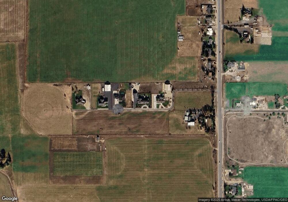
Map
Nearby Homes
- 307 W Lazy Acres Ln
- 84 W 2100 N
- 750 E 3200 N
- 960 Splendor Valley Rd Unit 70
- 87 Splendor Valley Rd Unit 87
- 9 Splendor Valley Rd
- 1081 Splendor Valley Rd Unit 56
- 97 Splendor Valley Rd Unit 97
- 2579 Splendor Valley Rd
- 1417 Splendor Valley Rd Unit 41
- Lot 87 Splendor Valley Rd Unit 87
- 396 W 3700 N
- 364 W 3700 N
- 3994 N New Ln
- 1212 Splendor Valley Rd
- 388 E Boulderville Rd
- 1226 Dovetail Dr Unit 13
- 1962 Angels Landing Unit 57-1
- 984 E Boulderville Rd
- 470 E Boulderville Rd
- 186 W Lazy Acres Ln
- 205 W Lazy Acres Ln Unit 8
- 205 W Lazy Acres Ln Unit 3
- 307 W Lazy Acres Ln Unit 6
- 307 W Lazy Acres Ln Unit 5
- 228 W Lazy Acres Ln
- 228 W Lazy Acres Ln Unit 3
- 228 W Lazy Acres Ln Unit N-3
- 140 W Lazy Acres Ln
- 140 W Lazy Acres Ln Unit N-1
- 140 W Lazy Acres Ln
- 140 W Lazy Acres Ln
- 257 W Lazy Acres Ln Unit 7
- 257 W Lazy Acres Ln Unit 4
- 268 W Lazy Acres Ln
- 268 W Lazy Acres Ln Unit 4
- 2685 N State Road 32
- 2771 N State Road 32
- 2785 N State Road 32
- 420 W Lazy Acres Ln