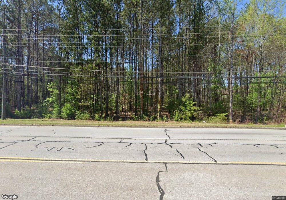
1860 Powder Springs Rd SW Marietta, GA 30064
Estimated Value: $278,000 - $1,000,000
2
Beds
1
Bath
1,244
Sq Ft
$513/Sq Ft
Est. Value
About This Home
This home is located at 1860 Powder Springs Rd SW, Marietta, GA 30064 and is currently estimated at $638,584, approximately $513 per square foot. 1860 Powder Springs Rd SW is a home located in Cobb County with nearby schools including Dowell Elementary School, Smitha Middle School, and Osborne High School.
Ownership History
Date
Name
Owned For
Owner Type
Purchase Details
Closed on
Jun 4, 2025
Sold by
Prime Business Consultants Inc
Bought by
Heritage Reserve Development Llc
Current Estimated Value
Purchase Details
Closed on
Oct 8, 2013
Sold by
Karroun Kamil
Bought by
Jaraysi Lee F
Purchase Details
Closed on
Dec 7, 2012
Sold by
Jaraysi Lee F
Bought by
Karroun Kamil
Create a Home Valuation Report for This Property
The Home Valuation Report is an in-depth analysis detailing your home's value as well as a comparison with similar homes in the area
Home Values in the Area
Average Home Value in this Area
Purchase History
| Date | Buyer | Sale Price | Title Company |
|---|---|---|---|
| Heritage Reserve Development Llc | -- | None Listed On Document | |
| Heritage Reserve Development Llc | $1,000,000 | None Listed On Document | |
| Heritage Reserve Development Llc | $1,000,000 | None Listed On Document | |
| Jaraysi Lee F | -- | -- | |
| Karroun Kamil | $76,000 | -- |
Source: Public Records
Tax History Compared to Growth
Tax History
| Year | Tax Paid | Tax Assessment Tax Assessment Total Assessment is a certain percentage of the fair market value that is determined by local assessors to be the total taxable value of land and additions on the property. | Land | Improvement |
|---|---|---|---|---|
| 2025 | $4,815 | $159,792 | $128,128 | $31,664 |
| 2024 | $4,818 | $159,792 | $128,128 | $31,664 |
| 2023 | $3,991 | $132,368 | $104,832 | $27,536 |
| 2022 | $2,915 | $96,056 | $72,216 | $23,840 |
| 2021 | $2,552 | $84,084 | $64,064 | $20,020 |
| 2020 | $2,163 | $71,272 | $51,252 | $20,020 |
| 2019 | $2,638 | $86,904 | $69,888 | $17,016 |
| 2018 | $2,025 | $66,728 | $51,252 | $15,476 |
| 2017 | $1,918 | $66,728 | $51,252 | $15,476 |
| 2016 | $1,282 | $44,596 | $29,120 | $15,476 |
| 2015 | $1,314 | $44,596 | $29,120 | $15,476 |
| 2014 | $903 | $30,388 | $0 | $0 |
Source: Public Records
Map
Nearby Homes
- 2050 Heritage Green Dr
- 1697 Dyeson Rd SW
- 2268 Grove Valley Way Unit 9
- 1970 Powder Springs Rd SW
- 1706 Brandon Lee Way SW Unit 1
- 2126 Green Dr SW
- 2009 Freestone Way
- 2060 Powder Springs Rd SW
- 1985 Freestone Way
- Hillside Plan at Freestone Station
- Hendricks Plan at Freestone Station
- Antioch Plan at Freestone Station
- Hedgerow Plan at Freestone Station
- Monteluce Plan at Freestone Station
- Oakshire Plan at Freestone Station
- 2389 Jack Creek Rd SW
- 1952 Freestone Way
- 2250 Caneridge Trail SW
- 2002 MacLand Square Dr Unit 1
- 1860 Powder Springs Rd NE
- 1935 Heritage Green Dr
- 1925 Heritage Green Dr
- 1945 Heritage Green Dr
- 1915 Heritage Green Dr
- 1955 Heritage Green Dr
- 1905 Heritage Green Dr
- 2045 Heritage Green Dr
- 2358 Hampton Valley Dr SW
- 2400 Hampton Estates Dr SW
- 2405 Hampton Estates Dr SW
- 0 Powder Springs Rd SW Unit 7067585
- 0 Powder Springs Rd SW Unit 20050314
- 0 Powder Springs Rd SW Unit 7532031
- 0 Powder Springs Rd SW Unit 7095114
- 0 Powder Springs Rd SW Unit 7082141
- 0 Powder Springs Rd SW Unit 3144344
- 0 Powder Springs Rd SW Unit 3274477
- 0 Powder Springs Rd SW Unit 8694065
- 0 Powder Springs Rd SW Unit 8472381
