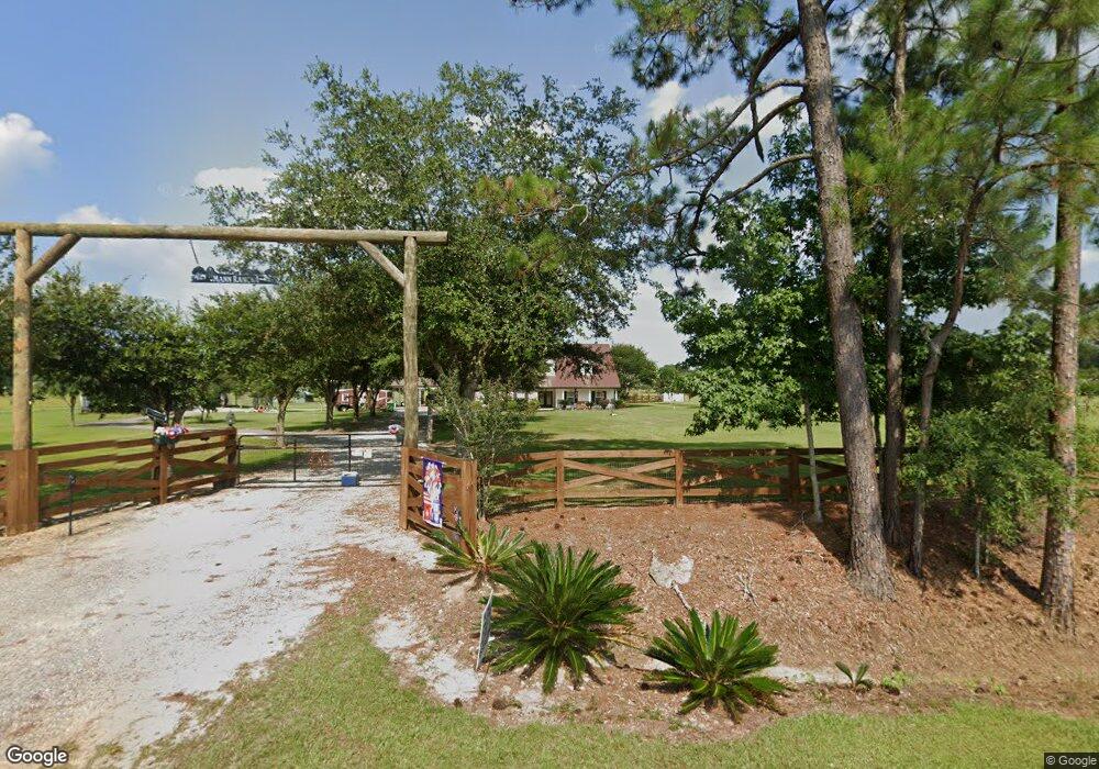
18600 State Line Rd Moss Point, MS 39562
Estimated Value: $369,000 - $527,000
3
Beds
2
Baths
2,169
Sq Ft
$200/Sq Ft
Est. Value
About This Home
This home is located at 18600 State Line Rd, Moss Point, MS 39562 and is currently estimated at $432,811, approximately $199 per square foot. 18600 State Line Rd is a home located in Jackson County with nearby schools including East Central Lower Elementary School, East Central Upper Elementary School, and East Central Middle School.
Ownership History
Date
Name
Owned For
Owner Type
Purchase Details
Closed on
Dec 22, 2005
Sold by
Murray Alan C and Murray Belinda
Bought by
Mann Richard D and Mann Shelly I
Current Estimated Value
Home Financials for this Owner
Home Financials are based on the most recent Mortgage that was taken out on this home.
Original Mortgage
$215,000
Outstanding Balance
$119,578
Interest Rate
6.19%
Estimated Equity
$313,233
Create a Home Valuation Report for This Property
The Home Valuation Report is an in-depth analysis detailing your home's value as well as a comparison with similar homes in the area
Home Values in the Area
Average Home Value in this Area
Purchase History
| Date | Buyer | Sale Price | Title Company |
|---|---|---|---|
| Mann Richard D | -- | -- |
Source: Public Records
Mortgage History
| Date | Status | Borrower | Loan Amount |
|---|---|---|---|
| Open | Mann Richard D | $215,000 |
Source: Public Records
Tax History Compared to Growth
Tax History
| Year | Tax Paid | Tax Assessment Tax Assessment Total Assessment is a certain percentage of the fair market value that is determined by local assessors to be the total taxable value of land and additions on the property. | Land | Improvement |
|---|---|---|---|---|
| 2024 | $2,558 | $23,810 | $2,911 | $20,899 |
| 2023 | $2,558 | $23,812 | $2,913 | $20,899 |
| 2022 | $2,387 | $23,033 | $2,134 | $20,899 |
| 2021 | $2,403 | $23,184 | $2,137 | $21,047 |
| 2020 | $2,379 | $22,176 | $1,991 | $20,185 |
| 2019 | $2,342 | $22,110 | $1,992 | $20,118 |
| 2018 | $2,394 | $22,113 | $1,995 | $20,118 |
| 2017 | $2,440 | $22,115 | $1,997 | $20,118 |
| 2016 | $2,270 | $21,605 | $1,312 | $20,293 |
| 2015 | $2,086 | $184,480 | $11,300 | $173,180 |
| 2014 | $2,136 | $20,736 | $1,274 | $19,462 |
| 2013 | $1,869 | $19,097 | $1,337 | $17,760 |
Source: Public Records
Map
Nearby Homes
- 2966 Harmon Williams Rd
- 19255 Eli Dudley Rd
- 15250 Deer Run Dr S
- 14201 Airport Blvd
- 14151 Driskell Dairy Rd
- 2995 Barlett Dr
- 2865 Barlett Dr
- 0 Deer Crest Ln Unit 7676050
- #77 Deer Crest Dr
- 3397 Deer Crest Dr
- 13190 Hackberry Dr
- 13163 Buckthorn Ct
- 00 Deer Crest Ln
- 0 Rayford Shumock Rd Unit 24406728
- 0 Rayford Shumock Rd Unit 4121875
- -0- Rayford Shumock Rd
- 4370 Grand Bay Wilmer Rd S
- 15093 Cat Deakle Rd
- 0 Dap Rd E
- 13643 Catahoula Dr S
- 18650 State Line Rd
- 18628 State Line Rd
- 17564 State Line Rd
- 18604 State Line Rd
- 18601 State Line Rd
- 19835 State Line Rd
- 19851 State Line Rd
- 18700 State Line Rd
- 0 State Line Rd Unit 3243370
- 19817 State Line Rd
- 2900 Harmon Williams Rd
- 2980 Harmon Williams Rd
- 2980 Harmon Williams Rd
- 19980 State Line Rd
- 19901 State Line Rd
- 2960 Harmon Williams Rd
- 11520 Highway 614
- 19932 State Line Rd
- 2945 Harmon Williams Rd
- 3223 Harmon Williams Rd