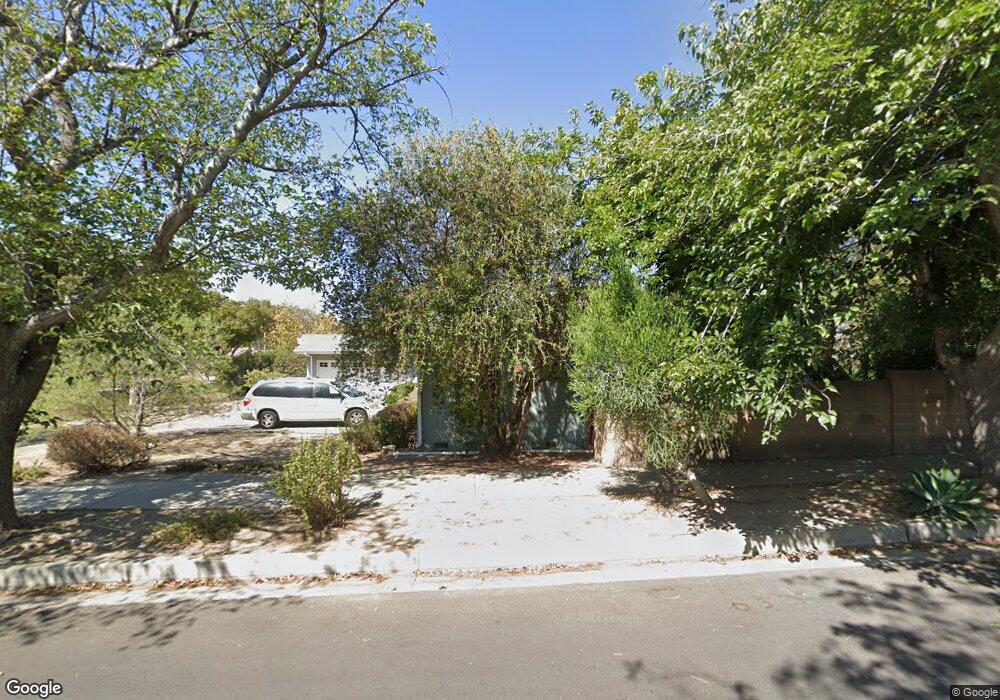
18601 Ludlow St Porter Ranch, CA 91326
Porter Ranch NeighborhoodEstimated Value: $1,094,949 - $1,166,000
4
Beds
2
Baths
1,946
Sq Ft
$579/Sq Ft
Est. Value
About This Home
This home is located at 18601 Ludlow St, Porter Ranch, CA 91326 and is currently estimated at $1,127,487, approximately $579 per square foot. 18601 Ludlow St is a home located in Los Angeles County with nearby schools including Darby Avenue Elementary, Northridge Academy High, and Valley Academy of Arts & Sciences.
Ownership History
Date
Name
Owned For
Owner Type
Purchase Details
Closed on
Oct 28, 2002
Sold by
Chang Charles and Chang Monica
Bought by
Mcafee David and Mcafee Phyllis
Current Estimated Value
Home Financials for this Owner
Home Financials are based on the most recent Mortgage that was taken out on this home.
Original Mortgage
$250,000
Outstanding Balance
$106,715
Interest Rate
6.28%
Estimated Equity
$1,020,772
Create a Home Valuation Report for This Property
The Home Valuation Report is an in-depth analysis detailing your home's value as well as a comparison with similar homes in the area
Home Values in the Area
Average Home Value in this Area
Purchase History
| Date | Buyer | Sale Price | Title Company |
|---|---|---|---|
| Mcafee David | $373,000 | First American Title |
Source: Public Records
Mortgage History
| Date | Status | Borrower | Loan Amount |
|---|---|---|---|
| Open | Mcafee David | $250,000 |
Source: Public Records
Tax History
| Year | Tax Paid | Tax Assessment Tax Assessment Total Assessment is a certain percentage of the fair market value that is determined by local assessors to be the total taxable value of land and additions on the property. | Land | Improvement |
|---|---|---|---|---|
| 2025 | $6,748 | $540,205 | $418,992 | $121,213 |
| 2024 | $6,748 | $529,614 | $410,777 | $118,837 |
| 2023 | $6,622 | $519,230 | $402,723 | $116,507 |
| 2022 | $6,324 | $509,050 | $394,827 | $114,223 |
| 2021 | $6,240 | $499,070 | $387,086 | $111,984 |
| 2019 | $6,058 | $484,268 | $375,605 | $108,663 |
| 2018 | $5,927 | $474,774 | $368,241 | $106,533 |
| 2016 | $5,655 | $456,341 | $353,943 | $102,398 |
| 2015 | $5,574 | $449,487 | $348,627 | $100,860 |
| 2014 | $5,598 | $440,683 | $341,798 | $98,885 |
Source: Public Records
Map
Nearby Homes
- 10953 Darby Ave
- 18371 Lahey St
- 18720 San Fernando Mission Blvd
- 18822 Salt Lake Place
- 18438 Los Alimos St
- 11348 Reseda Blvd Unit B
- 11348 Reseda Blvd Unit D
- 11348 Reseda Blvd Unit E
- 11348 Reseda Blvd
- 11348 Reseda Blvd Unit A
- 11348 Reseda Blvd Unit C
- 11300 Dulcet Ave
- 18772 Algiers St
- 10983 Topeka Dr
- 18301 Chatsworth St
- 10856 Topeka Dr
- 10557 Reseda Blvd
- 18076 Tulsa St
- 18501 Germain St
- 11158 Newcastle Ave
- 18611 Ludlow St
- 11041 Baird Ave
- 11008 Baird Ave
- 11034 Baird Ave
- 18619 Ludlow St
- 11026 Baird Ave
- 11042 Baird Ave
- 11018 Baird Ave
- 18614 Ludlow St
- 11024 Amigo Ave
- 11009 Baird Ave
- 18627 Ludlow St
- 11014 Amigo Ave
- 11057 Baird Ave
- 11052 Baird Ave
- 11034 Amigo Ave
- 18622 Ludlow St
- 11010 Baird Ave
- 11035 Reseda Blvd
- 11027 Reseda Blvd
Your Personal Tour Guide
Ask me questions while you tour the home.