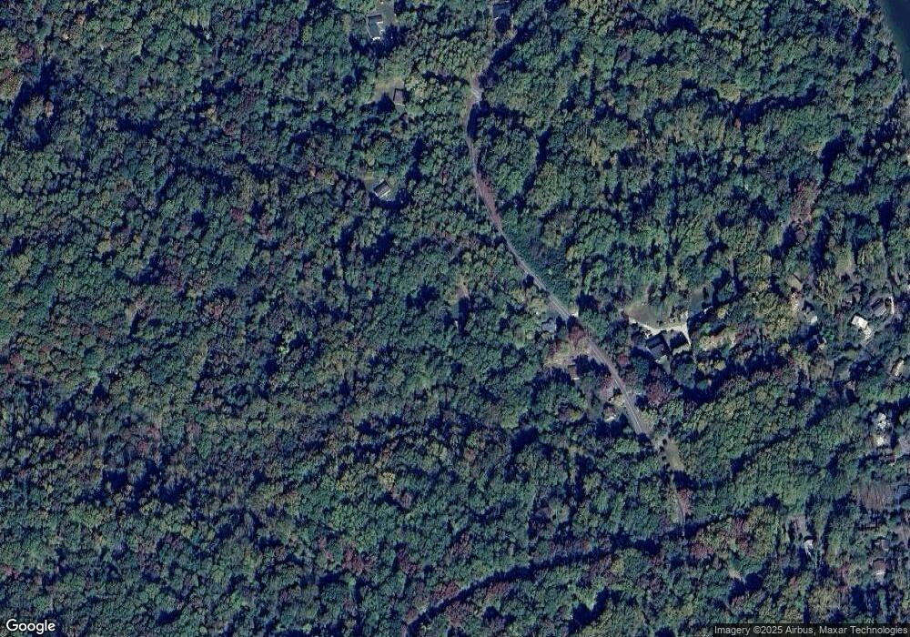
1861 Scientists Cliffs Rd Port Republic, MD 20676
Port Republic NeighborhoodEstimated Value: $284,587 - $386,000
--
Bed
1
Bath
960
Sq Ft
$353/Sq Ft
Est. Value
About This Home
This home is located at 1861 Scientists Cliffs Rd, Port Republic, MD 20676 and is currently estimated at $339,147, approximately $353 per square foot. 1861 Scientists Cliffs Rd is a home located in Calvert County with nearby schools including Barstow Elementary School, Calvert Middle School, and Calvert High School.
Ownership History
Date
Name
Owned For
Owner Type
Purchase Details
Closed on
Apr 25, 2014
Sold by
Brown Roger J and Brown Vannessa C
Bought by
Brown Roger J
Current Estimated Value
Home Financials for this Owner
Home Financials are based on the most recent Mortgage that was taken out on this home.
Original Mortgage
$279,000
Interest Rate
4.41%
Mortgage Type
Reverse Mortgage Home Equity Conversion Mortgage
Create a Home Valuation Report for This Property
The Home Valuation Report is an in-depth analysis detailing your home's value as well as a comparison with similar homes in the area
Home Values in the Area
Average Home Value in this Area
Purchase History
| Date | Buyer | Sale Price | Title Company |
|---|---|---|---|
| Brown Roger J | -- | Micasa Title Group Llc |
Source: Public Records
Mortgage History
| Date | Status | Borrower | Loan Amount |
|---|---|---|---|
| Closed | Brown Roger J | $279,000 |
Source: Public Records
Tax History Compared to Growth
Tax History
| Year | Tax Paid | Tax Assessment Tax Assessment Total Assessment is a certain percentage of the fair market value that is determined by local assessors to be the total taxable value of land and additions on the property. | Land | Improvement |
|---|---|---|---|---|
| 2025 | $932 | $243,333 | $0 | $0 |
| 2024 | $932 | $233,700 | $170,000 | $63,700 |
| 2023 | $2,386 | $229,600 | $0 | $0 |
| 2022 | $2,343 | $225,500 | $0 | $0 |
| 2021 | $1,636 | $221,400 | $170,000 | $51,400 |
| 2020 | $2,460 | $220,667 | $0 | $0 |
| 2019 | $2,307 | $219,933 | $0 | $0 |
| 2018 | $2,299 | $219,200 | $170,000 | $49,200 |
| 2017 | $2,345 | $211,200 | $0 | $0 |
| 2016 | -- | $203,200 | $0 | $0 |
| 2015 | $2,393 | $195,200 | $0 | $0 |
| 2014 | $2,393 | $195,200 | $0 | $0 |
Source: Public Records
Map
Nearby Homes
- 1928 Elm Rd
- 1955 Parkers Creek Spur
- 1954 Rosemary Ln
- 1525 Sharpes Ct
- 2836 Allspice Rd
- 56 Goldstein Rd
- 50 Goldstein Rd
- 3325 First St
- 3005 Blackberry Ln
- 4551 Dares Beach Rd
- 95 Dares Wharf Rd
- 2355 Bunker Hill Ct
- 3160 Blackberry Ln
- 3620 Pine Tree Rd
- 161 Chesapeake Ave
- 2115 Western Shores Blvd
- 4105 Crest Dr
- 118 Kinsey Dr
- 112 Kinsey Dr
- 126 Kinsey Dr
- 1855 Scientists Cliffs Rd
- 1925 Scientists Cliffs Rd
- 1935 Scientists Cliffs Rd
- 1845 Scientists Cliffs Rd
- 1955 Scientists Cliffs Rd
- 1953 Scientists Cliffs Rd
- 3975 Bluestem Ln
- 3965 Bluestem Ln
- 1950 Scientists Cliffs Rd
- 1835 Scientists Cliffs Rd
- 3980 Elder Rd
- 1945 Scientists Cliffs Rd
- 1825 Scientists Cliffs Rd
- 1862 Scientists Cliffs Rd
- 1854 Scientists Cliffs Rd
- 1863 Scientists Cliffs Rd
- 1805 Scientists Cliffs Rd
- 4010 Evergreen Rd
- 1805 Scientists Cliffs Rd
- 1864 Scientists Cliffs Rd
