18617 198th St Tonganoxie, KS 66086
Estimated Value: $312,000 - $476,064
3
Beds
2
Baths
1,144
Sq Ft
$344/Sq Ft
Est. Value
About This Home
This home is located at 18617 198th St, Tonganoxie, KS 66086 and is currently estimated at $394,032, approximately $344 per square foot. 18617 198th St is a home located in Leavenworth County with nearby schools including Tonganoxie Elementary School, Tonganoxie Middle School, and Tonganoxie High School.
Ownership History
Date
Name
Owned For
Owner Type
Purchase Details
Closed on
Oct 1, 1993
Bought by
Caldwell Garry L and Caldwell Linda K
Current Estimated Value
Home Financials for this Owner
Home Financials are based on the most recent Mortgage that was taken out on this home.
Original Mortgage
$80,000
Outstanding Balance
$8,711
Interest Rate
6.89%
Mortgage Type
New Conventional
Estimated Equity
$385,321
Create a Home Valuation Report for This Property
The Home Valuation Report is an in-depth analysis detailing your home's value as well as a comparison with similar homes in the area
Home Values in the Area
Average Home Value in this Area
Purchase History
| Date | Buyer | Sale Price | Title Company |
|---|---|---|---|
| Caldwell Garry L | $130,000 | -- |
Source: Public Records
Mortgage History
| Date | Status | Borrower | Loan Amount |
|---|---|---|---|
| Open | Caldwell Garry L | $80,000 |
Source: Public Records
Tax History Compared to Growth
Tax History
| Year | Tax Paid | Tax Assessment Tax Assessment Total Assessment is a certain percentage of the fair market value that is determined by local assessors to be the total taxable value of land and additions on the property. | Land | Improvement |
|---|---|---|---|---|
| 2025 | $4,272 | $39,672 | $8,006 | $31,666 |
| 2024 | $4,155 | $38,315 | $7,352 | $30,963 |
| 2023 | $4,155 | $37,196 | $7,540 | $29,656 |
| 2022 | $3,518 | $30,808 | $6,139 | $24,669 |
| 2021 | $3,214 | $27,662 | $5,504 | $22,158 |
| 2020 | $3,024 | $25,937 | $5,318 | $20,619 |
| 2019 | $2,837 | $24,767 | $5,288 | $19,479 |
| 2018 | $2,365 | $20,698 | $4,081 | $16,617 |
| 2017 | $2,171 | $18,887 | $3,603 | $15,284 |
| 2016 | $2,047 | $17,783 | $3,288 | $14,495 |
| 2015 | $1,928 | $16,833 | $3,264 | $13,569 |
| 2014 | $1,803 | $16,087 | $3,240 | $12,847 |
Source: Public Records
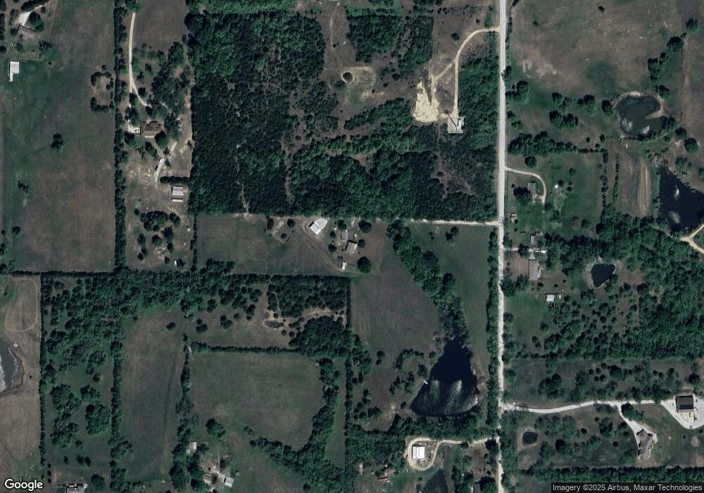
Map
Nearby Homes
- 18171 198th St
- 0 State Avenue Evans Rd N A Unit HMS2514367
- RC Greenfield Plan at Stone Creek
- RC Keswick Plan at Stone Creek
- RC Mitchell Plan at Stone Creek
- RC Baltimore Plan at Stone Creek
- RC Cooper Plan at Stone Creek
- RC Armstrong Plan at Stone Creek
- RC Bridgeport Plan at Stone Creek
- RC Beaumont Plan at Stone Creek
- RC Pickett Plan at Stone Creek
- RC Somerville Plan at Stone Creek
- RC Cypress II Plan at Stone Creek
- 2134 Woodfield Dr
- 2102 Brook Ridge Cir
- 2133 Brook Ridge Cir
- 440 Rock Creek Dr
- 2100 Rock Creek Dr
- 1950 Jackson Dr
- 2470 Woodfield Dr
- 18604 198th St
- 18654 198th St
- 18451 198th St
- 20029 State Ave
- 20028 Sandusky Rd
- 19990 Sandusky Rd
- 0 State Ave Unit 1785816
- Lot 3 State Ave
- Lot 7 State Ave
- 0 State Ave Unit 1850395
- 0 State Ave Unit 2398702
- 0 State Ave Unit 156214
- 0 State Ave Unit 1509514
- 0 State Ave Unit 1637649
- 0 State Ave Unit 1674820
- Lot 2 State Ave
- Lot 1 State Ave
- 0 State Ave Unit 1950031
- 20066 Sandusky Rd
- 20089 State Ave