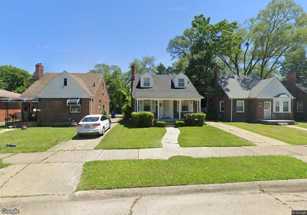
18618 Prevost St Unit Bldg-Unit Detroit, MI 48235
College Park NeighborhoodEstimated Value: $91,000 - $98,619
--
Bed
2
Baths
1,022
Sq Ft
$94/Sq Ft
Est. Value
About This Home
This home is located at 18618 Prevost St Unit Bldg-Unit, Detroit, MI 48235 and is currently estimated at $96,405, approximately $94 per square foot. 18618 Prevost St Unit Bldg-Unit is a home located in Wayne County with nearby schools including John R. King Academic And Performing Arts Academy, Charles L. Spain Elementary-Middle School, and Edward 'Duke' Ellington Conservatory of Music and Art.
Ownership History
Date
Name
Owned For
Owner Type
Purchase Details
Closed on
Apr 25, 2022
Sold by
Cyril Pelletier
Bought by
Gentile Michael A
Current Estimated Value
Purchase Details
Closed on
Aug 3, 2018
Sold by
Detroit 2L Properties Llc
Bought by
Pelletier Cyril
Purchase Details
Closed on
Jun 19, 2018
Sold by
Mcclanahan Patrica Ann
Bought by
Detroit 2L Propeties Llc
Create a Home Valuation Report for This Property
The Home Valuation Report is an in-depth analysis detailing your home's value as well as a comparison with similar homes in the area
Home Values in the Area
Average Home Value in this Area
Purchase History
| Date | Buyer | Sale Price | Title Company |
|---|---|---|---|
| Gentile Michael A | $75,000 | None Listed On Document | |
| Pelletier Cyril | $64,000 | First American Title | |
| Detroit 2L Propeties Llc | $39,000 | Etitle Agency Inc |
Source: Public Records
Tax History Compared to Growth
Tax History
| Year | Tax Paid | Tax Assessment Tax Assessment Total Assessment is a certain percentage of the fair market value that is determined by local assessors to be the total taxable value of land and additions on the property. | Land | Improvement |
|---|---|---|---|---|
| 2025 | $2,647 | $43,300 | $0 | $0 |
| 2024 | $2,647 | $37,900 | $0 | $0 |
| 2023 | $2,573 | $30,300 | $0 | $0 |
| 2022 | $1,342 | $24,300 | $0 | $0 |
| 2021 | $1,305 | $19,300 | $0 | $0 |
| 2020 | $1,305 | $16,800 | $0 | $0 |
| 2019 | $1,285 | $13,500 | $0 | $0 |
| 2018 | $1,128 | $12,200 | $0 | $0 |
| 2017 | $214 | $11,300 | $0 | $0 |
| 2016 | $1,477 | $16,400 | $0 | $0 |
| 2015 | $1,640 | $16,400 | $0 | $0 |
| 2013 | $2,307 | $23,074 | $0 | $0 |
| 2010 | -- | $33,061 | $918 | $32,143 |
Source: Public Records
Map
Nearby Homes
- 18699 Forrer St
- 18666 Forrer St
- 18717 Winthrop St
- 18400 Rutherford St
- 18460 Winthrop St
- 15641 Pickford St
- 18943 Mansfield St
- 15900 Curtis St
- 19134 Montrose St
- 18230 Saint Marys St
- 18900 Asbury Park
- 18210 Saint Marys St
- 19170 Mansfield St
- 18411 Asbury Park
- 18514 Whitcomb St
- 18700 Whitcomb St
- 19215 Winthrop St
- 18277 Asbury Park
- 19307 Montrose St
- 18500 Biltmore St
- 18618 Prevost St
- 18626 Prevost St
- 18610 Prevost St
- 18619 Forrer St
- 18636 Prevost St
- 18600 Prevost St
- 18601 Forrer St
- 18642 Prevost St
- 18648 Prevost St
- 18627 Forrer St
- 18611 Forrer St
- 18637 Forrer St
- 18617 Prevost St
- 18611 Prevost St
- 18625 Prevost St
- 18645 Forrer St
- 18658 Prevost St
- 18601 Prevost St
- 18635 Prevost St
- 18510 Prevost St