Estimated Value: $351,666 - $390,000
4
Beds
3
Baths
1,853
Sq Ft
$198/Sq Ft
Est. Value
About This Home
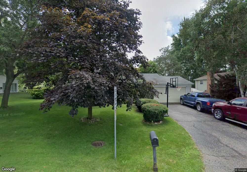
This home is located at 1862 Hopkins Dr Unit Bldg-Unit, Wixom, MI 48393 and is currently estimated at $366,917, approximately $198 per square foot. 1862 Hopkins Dr Unit Bldg-Unit is a home located in Oakland County with nearby schools including Wixom Elementary School, Sarah G. Banks Middle School, and Walled Lake Western High School.
Ownership History
Date
Name
Owned For
Owner Type
Purchase Details
Closed on
Jul 19, 2018
Sold by
Rooney Jean L and Ronney Family Living Trust
Bought by
Robertson Benjamin
Current Estimated Value
Home Financials for this Owner
Home Financials are based on the most recent Mortgage that was taken out on this home.
Original Mortgage
$254,118
Outstanding Balance
$220,718
Interest Rate
4.6%
Mortgage Type
VA
Estimated Equity
$146,199
Purchase Details
Closed on
Feb 28, 2006
Sold by
Rooney Patrick and Rooney Jean L
Bought by
Rooney Patrick and Rooney Jean L
Create a Home Valuation Report for This Property
The Home Valuation Report is an in-depth analysis detailing your home's value as well as a comparison with similar homes in the area
Home Values in the Area
Average Home Value in this Area
Purchase History
| Date | Buyer | Sale Price | Title Company |
|---|---|---|---|
| Robertson Benjamin | $246,000 | Fidelity National Title | |
| Rooney Patrick | -- | None Available |
Source: Public Records
Mortgage History
| Date | Status | Borrower | Loan Amount |
|---|---|---|---|
| Open | Robertson Benjamin | $254,118 |
Source: Public Records
Tax History Compared to Growth
Tax History
| Year | Tax Paid | Tax Assessment Tax Assessment Total Assessment is a certain percentage of the fair market value that is determined by local assessors to be the total taxable value of land and additions on the property. | Land | Improvement |
|---|---|---|---|---|
| 2024 | $4,700 | $138,370 | $0 | $0 |
| 2023 | $4,458 | $138,510 | $0 | $0 |
| 2022 | $4,475 | $132,600 | $0 | $0 |
| 2021 | $4,438 | $128,340 | $0 | $0 |
| 2020 | $4,288 | $122,000 | $0 | $0 |
| 2019 | $4,460 | $117,750 | $0 | $0 |
| 2018 | $3,491 | $107,770 | $0 | $0 |
| 2017 | $3,447 | $107,900 | $0 | $0 |
| 2016 | $3,433 | $103,320 | $0 | $0 |
| 2015 | -- | $92,110 | $0 | $0 |
| 2014 | -- | $84,640 | $0 | $0 |
| 2011 | -- | $81,310 | $0 | $0 |
Source: Public Records
Map
Nearby Homes
- 1874 Hopkins Dr
- 1821 Emerald Ln
- 2910 Loon Dr
- 2260 Gage St Unit 294
- 1489 Wren St
- 2015 Lamella
- 2751 Lakeridge
- 2785 Hillcrest
- 1709 Weyhill Dr
- 1369 Flamingo
- 1445 Mariposa Dr
- 310 Greenwood Dr Unit 310
- 2610 Ironton Dr
- 2670 Ironton Dr
- 0000 Foal Blvd
- 1083 Pheasant Run Dr W
- 2785 Tulip Way
- 2057 Huntingdon Dr
- 98 Meadows Cir Unit 98
- 151 Meadows Cir W Unit 151
- 1862 Hopkins Dr
- 1856 Hopkins Dr
- 1868 Hopkins Dr
- 1863 Hopkins Dr
- 1857 Hopkins Dr
- 1871 Hopkins Dr
- 1880 Hopkins Dr
- 1877 Hopkins Dr
- 1967 Palmer Ct
- 1971 Palmer Ct
- 1907 Palmer Dr
- 1742 N Wixom Rd
- 1742 N Wixom Rd
- 1902 Hopkins Dr
- 1963 Palmer Ct
- 1908 Hopkins Dr
- 1975 Palmer Ct
- 1911 Palmer Dr
- 1905 Hopkins Dr
- 1730 N Wixom Rd