1862 Tate Ln Mount Juliet, TN 37122
Estimated Value: $759,000 - $872,000
--
Bed
3
Baths
3,531
Sq Ft
$232/Sq Ft
Est. Value
About This Home
This home is located at 1862 Tate Ln, Mount Juliet, TN 37122 and is currently estimated at $818,906, approximately $231 per square foot. 1862 Tate Ln is a home located in Wilson County with nearby schools including Mt. Juliet Elementary School, Mt. Juliet Middle School, and Green Hill High School.
Ownership History
Date
Name
Owned For
Owner Type
Purchase Details
Closed on
Oct 25, 2007
Sold by
Grand Developers Llc
Bought by
Persinger Leonard E
Current Estimated Value
Home Financials for this Owner
Home Financials are based on the most recent Mortgage that was taken out on this home.
Original Mortgage
$307,300
Outstanding Balance
$193,447
Interest Rate
6.37%
Estimated Equity
$625,459
Purchase Details
Closed on
Jan 12, 2007
Sold by
Ed Eignor
Bought by
Grand Developers Llc
Home Financials for this Owner
Home Financials are based on the most recent Mortgage that was taken out on this home.
Original Mortgage
$278,238
Interest Rate
6.08%
Purchase Details
Closed on
Jan 30, 2006
Bought by
Eignor Ed and Eignor Donna
Create a Home Valuation Report for This Property
The Home Valuation Report is an in-depth analysis detailing your home's value as well as a comparison with similar homes in the area
Home Values in the Area
Average Home Value in this Area
Purchase History
| Date | Buyer | Sale Price | Title Company |
|---|---|---|---|
| Persinger Leonard E | $384,214 | -- | |
| Grand Developers Llc | $82,400 | -- | |
| Eignor Ed | $85,500 | -- |
Source: Public Records
Mortgage History
| Date | Status | Borrower | Loan Amount |
|---|---|---|---|
| Open | Eignor Ed | $307,300 | |
| Closed | Eignor Ed | $31,000 | |
| Previous Owner | Eignor Ed | $278,238 |
Source: Public Records
Tax History Compared to Growth
Tax History
| Year | Tax Paid | Tax Assessment Tax Assessment Total Assessment is a certain percentage of the fair market value that is determined by local assessors to be the total taxable value of land and additions on the property. | Land | Improvement |
|---|---|---|---|---|
| 2024 | $2,700 | $141,450 | $29,250 | $112,200 |
| 2022 | $2,694 | $141,150 | $29,250 | $111,900 |
| 2021 | $2,694 | $141,150 | $29,250 | $111,900 |
| 2020 | $2,918 | $141,150 | $29,250 | $111,900 |
| 2019 | $2,918 | $115,825 | $19,775 | $96,050 |
| 2018 | $2,918 | $115,825 | $19,775 | $96,050 |
| 2017 | $2,918 | $115,825 | $19,775 | $96,050 |
| 2016 | $2,918 | $115,825 | $19,775 | $96,050 |
| 2015 | $2,977 | $115,825 | $19,775 | $96,050 |
| 2014 | $2,562 | $99,665 | $0 | $0 |
Source: Public Records
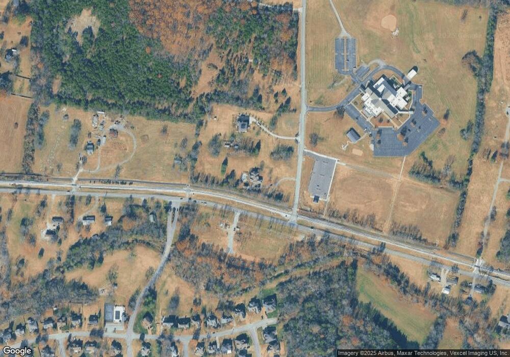
Map
Nearby Homes
- 1013 Brookstone Blvd
- 1520 Brookstone Cir
- 2001 Lynnhaven Ct
- 2002 Lynnhaven Ct
- 288 Page Dr
- 2006 Lynnhaven Ct
- 1120 Brookstone Blvd
- 604 Georgian Way
- 493 Page Dr
- 271 Page Dr
- 1229 Mount Vernon Ln
- 415 Willis Pass
- 2202 Dinah Ct
- 506 Page Dr
- 144 W Division St
- 1105 Camden Cir
- 212 Jackson Trail
- 3890 W Division St
- 700 Castle Rd
- 0 Mount Juliet N
- 1814 Tate Ln
- 0 W Divison St Unit RTC2191936
- 2082 Brookstone Dr
- 2084 Brookstone Dr
- 1040 W Division St
- 2090 Brookstone Dr
- 1150 W Division St
- 2085 Brookstone Dr
- 2094 Brookstone Dr
- 1623 Brookvalley Cir Unit 21
- 1623 Brookvalley Cir
- 1623 Brookvalley Cir
- 2096 Brookstone Dr
- 1622 Brookvalley Cir
- 2089 Brookstone Dr
- 2091 Brookstone Dr
- 1621 Brookvalley Cir
- 2098 Brookstone Dr
- 2093 Brookstone Dr
- 1125 W Division St