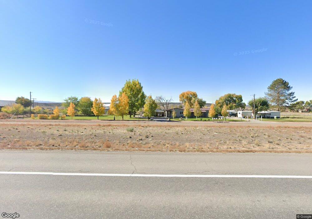
18625 Highway 550 Montrose, CO 81403
Estimated Value: $581,000 - $710,000
3
Beds
3
Baths
2,360
Sq Ft
$275/Sq Ft
Est. Value
About This Home
This home is located at 18625 Highway 550, Montrose, CO 81403 and is currently estimated at $649,329, approximately $275 per square foot. 18625 Highway 550 is a home with nearby schools including Cottonwood Elementary School, Columbine Middle School, and Montrose High School.
Ownership History
Date
Name
Owned For
Owner Type
Purchase Details
Closed on
Aug 19, 2022
Sold by
Emerson Patrick E
Bought by
Emerson Richard L and Emerson Leona Y
Current Estimated Value
Purchase Details
Closed on
May 19, 2015
Sold by
Emerson Patrick E and Emerson Richard L
Bought by
Emerson Patrick E and Emerson Richard L
Home Financials for this Owner
Home Financials are based on the most recent Mortgage that was taken out on this home.
Original Mortgage
$152,000
Interest Rate
4.08%
Purchase Details
Closed on
May 11, 1995
Sold by
Norris Allen A and Norris Mattie
Bought by
Carriere Emerson Patrick E and Carriere Emerson Sandra
Purchase Details
Closed on
Feb 15, 1984
Sold by
Burch Charles R and Burch Mae D
Bought by
Norris Allen A and Norris Mattie
Purchase Details
Closed on
Oct 25, 1977
Sold by
Lay Robert V
Bought by
Burch Charles R and Burch Mae D
Purchase Details
Closed on
Jan 31, 1977
Sold by
Labarr Donald E and Labarr Nadine Labarr
Bought by
Lay Robert B
Create a Home Valuation Report for This Property
The Home Valuation Report is an in-depth analysis detailing your home's value as well as a comparison with similar homes in the area
Home Values in the Area
Average Home Value in this Area
Purchase History
| Date | Buyer | Sale Price | Title Company |
|---|---|---|---|
| Emerson Richard L | -- | None Listed On Document | |
| Emerson Patrick E | -- | Fidelity National Title | |
| Carriere Emerson Patrick E | $71,000 | -- | |
| Norris Allen A | $31,000 | -- | |
| Burch Charles R | $23,500 | -- | |
| Lay Robert B | -- | -- |
Source: Public Records
Mortgage History
| Date | Status | Borrower | Loan Amount |
|---|---|---|---|
| Previous Owner | Emerson Patrick E | $152,000 |
Source: Public Records
Tax History Compared to Growth
Tax History
| Year | Tax Paid | Tax Assessment Tax Assessment Total Assessment is a certain percentage of the fair market value that is determined by local assessors to be the total taxable value of land and additions on the property. | Land | Improvement |
|---|---|---|---|---|
| 2024 | $2,489 | $34,950 | $7,880 | $27,070 |
| 2023 | $2,489 | $40,080 | $9,040 | $31,040 |
| 2022 | $1,433 | $27,770 | $6,090 | $21,680 |
| 2021 | $1,477 | $28,570 | $6,260 | $22,310 |
| 2020 | $1,167 | $24,540 | $5,860 | $18,680 |
| 2019 | $1,174 | $24,540 | $5,860 | $18,680 |
| 2016 | $200 | $5,930 | $4,230 | $1,700 |
| 2015 | $393 | $5,930 | $4,230 | $1,700 |
| 2014 | $363 | $5,850 | $4,230 | $1,620 |
Source: Public Records
Map
Nearby Homes
- 18563 U S 550
- 19063 U S 550
- Lot 3 Solar Rd
- Lot 1 Solar Rd
- Lot 2 Solar Rd
- 18512 6500 Rd
- 65536 Solar Rd
- 65499 Solar Rd
- 66595 Kinikin Rd
- 19438 6495 Trail
- 66182 Crestview Dr
- 4117 Waterfall Dr
- 66356 Otter Rd
- 66711 Otter Rd
- 16885 Wildwood Dr
- TBD Woodgate Rd
- 20124 6720 Ln
- 17017 6725 Rd
- 1728 Keller Ct
- 1712 Keller Ct
- 18659 S Highway 550
- 18610 S Highway 550
- 66261 Rose Rd
- 18600 U S 550
- 18600 S Highway 550
- 18700 Highway 550
- 66217 Rose Rd
- W Rose Rd
- 18700 U S 550
- 66247 Rose Rd
- 18570 U S 550
- 18706 Highway 550
- 18737 Highway 550
- 18570 Highway 550
- S 550 Hwy
- 18545 Highway 550
- 66176 Rose Rd
- 66266 Rose Rd
- 18786 Highway 550
- 18476 S Highway 550