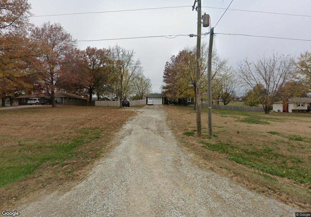
18629 206th St Tonganoxie, KS 66086
Estimated Value: $357,000 - $436,156
3
Beds
2
Baths
1,680
Sq Ft
$238/Sq Ft
Est. Value
About This Home
This home is located at 18629 206th St, Tonganoxie, KS 66086 and is currently estimated at $399,289, approximately $237 per square foot. 18629 206th St is a home located in Leavenworth County with nearby schools including Tonganoxie Elementary School, Tonganoxie Middle School, and Tonganoxie High School.
Ownership History
Date
Name
Owned For
Owner Type
Purchase Details
Closed on
Dec 2, 2019
Sold by
Kelly Diane L and Kelly Douglas Aaron
Bought by
Adcox Aaron Douglas
Current Estimated Value
Home Financials for this Owner
Home Financials are based on the most recent Mortgage that was taken out on this home.
Original Mortgage
$270,697
Outstanding Balance
$239,356
Interest Rate
3.75%
Mortgage Type
VA
Estimated Equity
$159,933
Purchase Details
Closed on
Jun 18, 2010
Sold by
Mutual Svgs Assoc Fsa
Bought by
Adcox Albert Ray
Create a Home Valuation Report for This Property
The Home Valuation Report is an in-depth analysis detailing your home's value as well as a comparison with similar homes in the area
Home Values in the Area
Average Home Value in this Area
Purchase History
| Date | Buyer | Sale Price | Title Company |
|---|---|---|---|
| Adcox Aaron Douglas | -- | None Listed On Document | |
| Adcox Albert Ray | $333,571 | -- |
Source: Public Records
Mortgage History
| Date | Status | Borrower | Loan Amount |
|---|---|---|---|
| Open | Adcox Aaron Douglas | $270,697 |
Source: Public Records
Tax History Compared to Growth
Tax History
| Year | Tax Paid | Tax Assessment Tax Assessment Total Assessment is a certain percentage of the fair market value that is determined by local assessors to be the total taxable value of land and additions on the property. | Land | Improvement |
|---|---|---|---|---|
| 2025 | $4,749 | $44,125 | $10,076 | $34,049 |
| 2024 | $4,753 | $42,429 | $9,067 | $33,362 |
| 2023 | $4,753 | $42,428 | $8,927 | $33,501 |
| 2022 | $4,332 | $37,754 | $7,147 | $30,607 |
| 2021 | $3,796 | $32,597 | $6,572 | $26,025 |
| 2020 | $3,368 | $28,842 | $6,240 | $22,602 |
| 2019 | $2,927 | $25,542 | $6,240 | $19,302 |
| 2018 | $2,617 | $22,861 | $5,090 | $17,771 |
| 2017 | $2,422 | $21,020 | $4,630 | $16,390 |
| 2016 | $2,296 | $19,898 | $4,365 | $15,533 |
| 2015 | $2,156 | $18,777 | $4,365 | $14,412 |
| 2014 | $2,112 | $18,777 | $4,365 | $14,412 |
Source: Public Records
Map
Nearby Homes
- RC Greenfield Plan at Stone Creek
- RC Keswick Plan at Stone Creek
- RC Mitchell Plan at Stone Creek
- RC Baltimore Plan at Stone Creek
- RC Cooper Plan at Stone Creek
- RC Armstrong Plan at Stone Creek
- RC Bridgeport Plan at Stone Creek
- RC Beaumont Plan at Stone Creek
- RC Pickett Plan at Stone Creek
- RC Somerville Plan at Stone Creek
- RC Cypress II Plan at Stone Creek
- 2134 Woodfield Dr
- 2102 Brook Ridge Cir
- 2133 Brook Ridge Cir
- 1950 Jackson Dr
- 440 Rock Creek Dr
- 2100 Rock Creek Dr
- 2470 Woodfield Dr
- 1870 Fall Creek Dr
- 1940 E Finch Dr