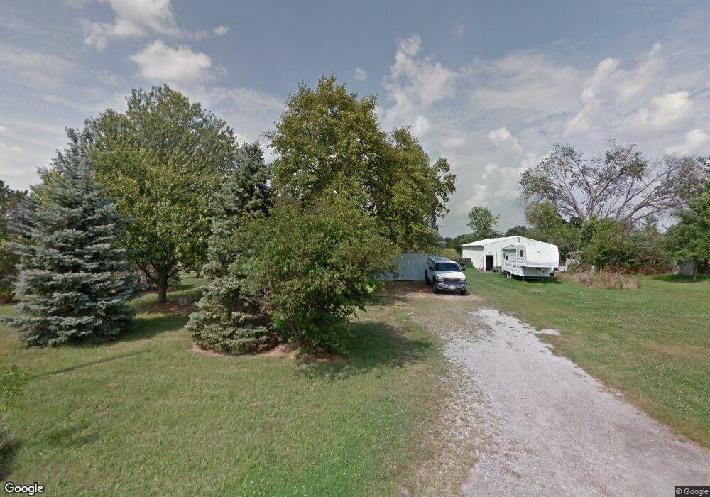
18632 Poe Rd Weston, OH 43569
Estimated Value: $197,000 - $329,000
3
Beds
1
Bath
1,170
Sq Ft
$208/Sq Ft
Est. Value
About This Home
This home is located at 18632 Poe Rd, Weston, OH 43569 and is currently estimated at $243,077, approximately $207 per square foot. 18632 Poe Rd is a home located in Wood County with nearby schools including Otsego Elementary School, Otsego Junior High School, and Otsego High School.
Ownership History
Date
Name
Owned For
Owner Type
Purchase Details
Closed on
Mar 12, 2013
Sold by
Maynard Raymond Eugene
Bought by
Maynard Robyn Sue and Sheeks Robin Sue
Current Estimated Value
Purchase Details
Closed on
May 1, 2001
Sold by
Sheeks Robyn S and Eugene Raymond
Bought by
Maynard Raymond Eugene and Maynard Robyn Sue
Home Financials for this Owner
Home Financials are based on the most recent Mortgage that was taken out on this home.
Original Mortgage
$78,000
Interest Rate
6.99%
Purchase Details
Closed on
Jun 27, 1983
Bought by
Sheeks Robyn S
Create a Home Valuation Report for This Property
The Home Valuation Report is an in-depth analysis detailing your home's value as well as a comparison with similar homes in the area
Home Values in the Area
Average Home Value in this Area
Purchase History
| Date | Buyer | Sale Price | Title Company |
|---|---|---|---|
| Maynard Robyn Sue | -- | None Available | |
| Maynard Raymond Eugene | -- | -- | |
| Sheeks Robyn S | -- | -- |
Source: Public Records
Mortgage History
| Date | Status | Borrower | Loan Amount |
|---|---|---|---|
| Previous Owner | Maynard Raymond Eugene | $78,000 |
Source: Public Records
Tax History Compared to Growth
Tax History
| Year | Tax Paid | Tax Assessment Tax Assessment Total Assessment is a certain percentage of the fair market value that is determined by local assessors to be the total taxable value of land and additions on the property. | Land | Improvement |
|---|---|---|---|---|
| 2024 | $2,577 | $62,755 | $11,795 | $50,960 |
| 2023 | $2,577 | $62,760 | $11,800 | $50,960 |
| 2021 | $2,369 | $52,330 | $10,120 | $42,210 |
| 2020 | $2,382 | $52,330 | $10,120 | $42,210 |
| 2019 | $2,110 | $45,020 | $10,120 | $34,900 |
| 2018 | $2,083 | $45,020 | $10,120 | $34,900 |
| 2017 | $2,034 | $45,020 | $10,120 | $34,900 |
| 2016 | $1,821 | $41,550 | $7,770 | $33,780 |
| 2015 | $1,821 | $41,550 | $7,770 | $33,780 |
| 2014 | $1,751 | $41,550 | $7,770 | $33,780 |
| 2013 | $1,919 | $41,550 | $7,770 | $33,780 |
Source: Public Records
Map
Nearby Homes
- 15722 Range Line Rd
- 16710 Potter Rd
- 17267 Reams Rd
- 19393 U S 6
- 0 Otsego Pike Unit 6136991
- 19330 Tuller Rd
- 17884 Euler Rd
- 0 Kellogg Rd Unit 6125521
- 16920 Long Judson Rd
- 16896 Long Judson Rd
- 18555 Crom St
- 15791 Liberty Hi Rd
- 0 Scott Rd
- 14486 Liberty Hi Rd
- 20391 Brown Ln
- 20210 Oak St
- 13460 Ash St
- 20310 Taylor St
- 1800 Timber Ridge Dr
- 22888 Wintergreen Rd
- 18606 Poe Rd
- 18621 Poe Rd
- 18683 Poe Rd
- 18738 Poe Rd
- 18557 Poe Rd
- 18787 Poe Rd
- 18792 Poe Rd
- 18792 W Poe
- 18476 Poe Rd
- 18400 Poe Rd
- 18411 Poe Rd
- 18960 Poe Rd
- 18960 Poe Rd
- 16056 Range Line Rd
- 16004 Range Line Rd
- 16202 Range Line Rd
- 16105 Range Line Rd
- 16238 Range Line Rd
- 16279 Range Line Rd
- 18053 Poe Rd