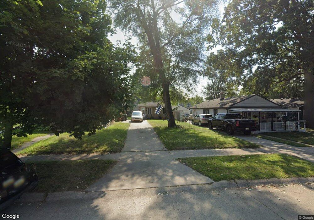
18634 Robert St Melvindale, MI 48122
Estimated Value: $89,000 - $145,000
2
Beds
1
Bath
674
Sq Ft
$167/Sq Ft
Est. Value
About This Home
This home is located at 18634 Robert St, Melvindale, MI 48122 and is currently estimated at $112,418, approximately $166 per square foot. 18634 Robert St is a home located in Wayne County with nearby schools including Rogers Early Elementary School, Allendale Elementary School, and Julian O. Strong Middle School.
Ownership History
Date
Name
Owned For
Owner Type
Purchase Details
Closed on
Apr 3, 2008
Sold by
Bey Leta
Bought by
Lasalle Bank Midwest Na
Current Estimated Value
Purchase Details
Closed on
Feb 2, 2005
Sold by
Jpmorgan Chase Bank Na
Bought by
Bey Leta M
Home Financials for this Owner
Home Financials are based on the most recent Mortgage that was taken out on this home.
Original Mortgage
$19,800
Interest Rate
5.8%
Mortgage Type
Purchase Money Mortgage
Purchase Details
Closed on
Oct 23, 2003
Sold by
Kieper Bernhard R
Bought by
Bank One Na
Create a Home Valuation Report for This Property
The Home Valuation Report is an in-depth analysis detailing your home's value as well as a comparison with similar homes in the area
Home Values in the Area
Average Home Value in this Area
Purchase History
| Date | Buyer | Sale Price | Title Company |
|---|---|---|---|
| Lasalle Bank Midwest Na | $21,778 | None Available | |
| Bey Leta M | $22,000 | Attorneys Title Agency Llc | |
| Bank One Na | $52,244 | -- |
Source: Public Records
Mortgage History
| Date | Status | Borrower | Loan Amount |
|---|---|---|---|
| Previous Owner | Bey Leta M | $19,800 |
Source: Public Records
Tax History
| Year | Tax Paid | Tax Assessment Tax Assessment Total Assessment is a certain percentage of the fair market value that is determined by local assessors to be the total taxable value of land and additions on the property. | Land | Improvement |
|---|---|---|---|---|
| 2025 | $877 | $49,900 | $0 | $0 |
| 2024 | $851 | $41,600 | $0 | $0 |
| 2023 | $809 | $37,200 | $0 | $0 |
| 2022 | $1,301 | $32,700 | $0 | $0 |
| 2021 | $1,260 | $26,900 | $0 | $0 |
| 2020 | $1,253 | $24,500 | $0 | $0 |
| 2019 | $1,207 | $20,200 | $0 | $0 |
| 2018 | $795 | $17,500 | $0 | $0 |
| 2017 | $691 | $15,100 | $0 | $0 |
| 2016 | $1,116 | $14,000 | $0 | $0 |
| 2015 | $1,280 | $12,900 | $0 | $0 |
| 2013 | $1,250 | $13,100 | $0 | $0 |
| 2012 | $855 | $12,800 | $2,200 | $10,600 |
Source: Public Records
Map
Nearby Homes
- 18591 Harman St
- 18811 Hanna St
- 18875 Robert St
- 18624 Hanna St
- 18634 Wood St
- 18254 Harman St
- 18247 Harman St
- 18022 Harman St
- 19167 Henry St
- 19531 Wood St
- 19550 Henry St
- 19643 Harman St
- 17951 Prospect St
- 0002 Prospect St
- 001 Prospect St
- 17646 Wood St
- 15261 Demean Ave
- 19504 Roger St
- 17506 Reed St
- 24558 Outer Dr
- 18654 Robert St
- 18632 Robert St
- 18641 Harman St
- 18649 Harman St
- 18633 Harman St
- 18612 Robert St
- 18621 Harman St
- 18655 Harman St
- 18802 Robert St
- 18604 Robert St
- 18635 Robert St
- 18625 Robert St
- 18810 Robert St
- 18596 Robert St
- 18621 Robert St
- 18803 Harman St
- 18597 Harman St
- 18613 Robert St
- 18590 Robert St
- 18818 Robert St
Your Personal Tour Guide
Ask me questions while you tour the home.