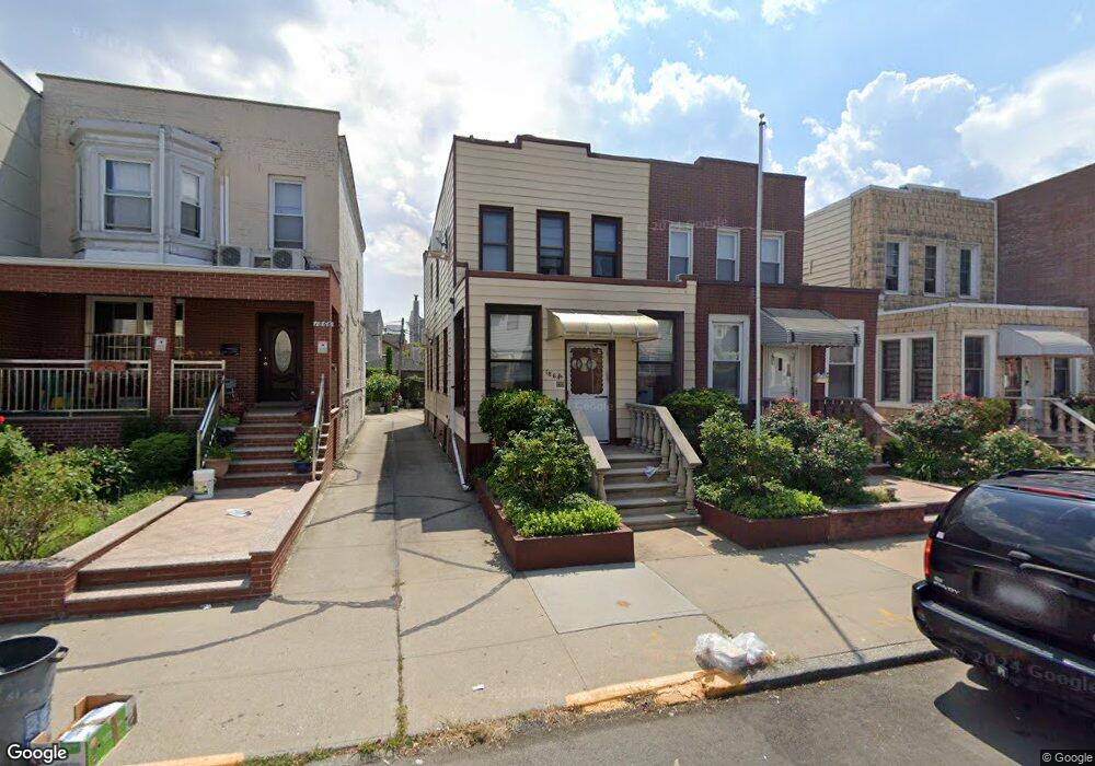
1864 61st St Brooklyn, NY 11204
Mapleton NeighborhoodEstimated Value: $1,311,860 - $1,624,000
--
Bed
--
Bath
1,440
Sq Ft
$1,067/Sq Ft
Est. Value
About This Home
This home is located at 1864 61st St, Brooklyn, NY 11204 and is currently estimated at $1,536,715, approximately $1,067 per square foot. 1864 61st St is a home located in Kings County with nearby schools including P.S. 048 Mapleton, Junior High School 227 Edward B Shallow, and Franklin Delano Roosevelt High School.
Ownership History
Date
Name
Owned For
Owner Type
Purchase Details
Closed on
Nov 20, 2017
Sold by
Kwan Chee Mok
Bought by
George Rong Feng Kwan & Chee Mok Kwan Tr and Hoi Wing Louie As Trustee
Current Estimated Value
Purchase Details
Closed on
May 17, 2000
Sold by
Mass Henry
Bought by
Kwan Hoi Wing and Guan Rong Feng
Home Financials for this Owner
Home Financials are based on the most recent Mortgage that was taken out on this home.
Original Mortgage
$198,500
Interest Rate
8.24%
Create a Home Valuation Report for This Property
The Home Valuation Report is an in-depth analysis detailing your home's value as well as a comparison with similar homes in the area
Home Values in the Area
Average Home Value in this Area
Purchase History
| Date | Buyer | Sale Price | Title Company |
|---|---|---|---|
| George Rong Feng Kwan & Chee Mok Kwan Tr | -- | -- | |
| Kwan Chee Mok | -- | -- | |
| Kwan Hoi Wing | $248,500 | Stewart Title Insurance Co |
Source: Public Records
Mortgage History
| Date | Status | Borrower | Loan Amount |
|---|---|---|---|
| Previous Owner | Kwan Hoi Wing | $198,500 |
Source: Public Records
Tax History Compared to Growth
Tax History
| Year | Tax Paid | Tax Assessment Tax Assessment Total Assessment is a certain percentage of the fair market value that is determined by local assessors to be the total taxable value of land and additions on the property. | Land | Improvement |
|---|---|---|---|---|
| 2025 | $7,685 | $91,560 | $12,660 | $78,900 |
| 2024 | $7,685 | $79,680 | $12,660 | $67,020 |
| 2023 | $7,335 | $74,520 | $12,660 | $61,860 |
| 2022 | $6,514 | $70,800 | $12,660 | $58,140 |
| 2021 | $6,876 | $54,900 | $12,660 | $42,240 |
| 2020 | $5,157 | $58,140 | $12,660 | $45,480 |
| 2019 | $6,670 | $58,140 | $12,660 | $45,480 |
| 2018 | $6,135 | $30,097 | $6,454 | $23,643 |
| 2017 | $5,543 | $28,663 | $6,454 | $22,209 |
| 2016 | $5,133 | $27,228 | $8,035 | $19,193 |
| 2015 | $3,042 | $27,219 | $8,983 | $18,236 |
| 2014 | $3,042 | $26,572 | $10,521 | $16,051 |
Source: Public Records
Map
Nearby Homes
- 6109 19th Ave
- 1936 60th St
- 1856 60th St
- 6115 20th Ave
- 6117 20th Ave
- 6121 20th Ave
- 1833 64th St
- 1956 64th St
- 6421 19th Ave
- 1972 64th St
- 1953 65th St Unit 1C
- 1953 65th St Unit 1D
- 1961 65th St Unit 3B
- 2027 65th St
- 1762 64th St
- 1868 66th St
- 1807 66th St Unit 4E
- 1807 66th St Unit 7a
- 1807 66th St Unit 5B
- 1807 66th St Unit 4C