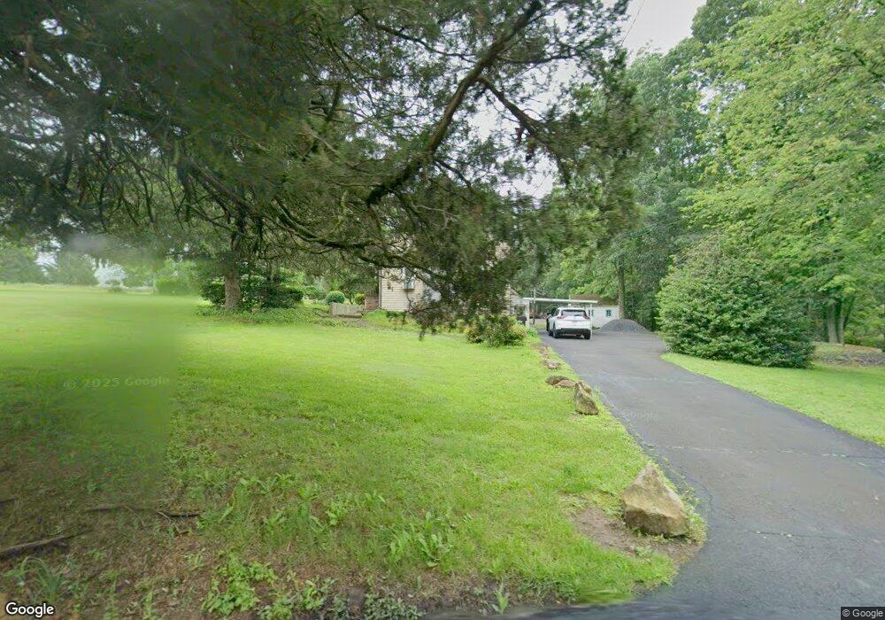
1864 Almshouse Rd Jamison, PA 18929
Estimated Value: $466,369 - $495,000
2
Beds
2
Baths
1,080
Sq Ft
$446/Sq Ft
Est. Value
About This Home
This home is located at 1864 Almshouse Rd, Jamison, PA 18929 and is currently estimated at $481,842, approximately $446 per square foot. 1864 Almshouse Rd is a home located in Bucks County with nearby schools including Jamison Elementary School, Tamanend Middle School, and Central Bucks High School - South.
Ownership History
Date
Name
Owned For
Owner Type
Purchase Details
Closed on
Nov 30, 2004
Sold by
Nelson Kenneth W
Bought by
Towle Anthony R and Crockett Towle Dawn C
Current Estimated Value
Home Financials for this Owner
Home Financials are based on the most recent Mortgage that was taken out on this home.
Original Mortgage
$115,000
Outstanding Balance
$57,400
Interest Rate
5.68%
Mortgage Type
Fannie Mae Freddie Mac
Estimated Equity
$424,442
Purchase Details
Closed on
Nov 22, 1971
Bought by
Nelson Kenneth W
Create a Home Valuation Report for This Property
The Home Valuation Report is an in-depth analysis detailing your home's value as well as a comparison with similar homes in the area
Home Values in the Area
Average Home Value in this Area
Purchase History
| Date | Buyer | Sale Price | Title Company |
|---|---|---|---|
| Towle Anthony R | $155,000 | -- | |
| Nelson Kenneth W | -- | -- |
Source: Public Records
Mortgage History
| Date | Status | Borrower | Loan Amount |
|---|---|---|---|
| Open | Towle Anthony R | $115,000 |
Source: Public Records
Tax History Compared to Growth
Tax History
| Year | Tax Paid | Tax Assessment Tax Assessment Total Assessment is a certain percentage of the fair market value that is determined by local assessors to be the total taxable value of land and additions on the property. | Land | Improvement |
|---|---|---|---|---|
| 2025 | $3,760 | $21,600 | $10,200 | $11,400 |
| 2024 | $3,760 | $21,600 | $10,200 | $11,400 |
| 2023 | $3,640 | $21,600 | $10,200 | $11,400 |
| 2022 | $3,600 | $21,600 | $10,200 | $11,400 |
| 2021 | $3,560 | $21,600 | $10,200 | $11,400 |
| 2020 | $3,560 | $21,600 | $10,200 | $11,400 |
| 2019 | $3,538 | $21,600 | $10,200 | $11,400 |
| 2018 | $3,538 | $21,600 | $10,200 | $11,400 |
| 2017 | $3,511 | $21,600 | $10,200 | $11,400 |
| 2016 | $3,511 | $21,600 | $10,200 | $11,400 |
| 2015 | -- | $21,600 | $10,200 | $11,400 |
| 2014 | -- | $21,600 | $10,200 | $11,400 |
Source: Public Records
Map
Nearby Homes
- 2018 Buckingham Dr
- 1416 Angela Ct Unit 1004
- 2127 York Rd
- 1834 Augusta Dr
- 1877 Brook Ln
- 1554 Park Dr
- 1501 Deborah Ct Unit 2102
- Homesite 102 Marquis Ln
- Homesite 10102 Marquis Ln
- Homesite 10103 Marquis Ln
- Northbrook Plan at Jamison Place
- Westmont Plan at Jamison Place
- Faraday Plan at Jamison Place
- 1530 Spruce Ct
- 5005 Quartermaster Ln
- 5011 Quartermaster Ln
- Homesite 11903 Quartermaster Ln
- 1990 York Rd
- 1504 Springfield Ct Unit 37
- 3014 Marquis Ln
- 1884 Almshouse Rd
- 2197 Sunrise Way
- 2210 Club House Cir
- 2167 Sunrise Way
- 2189 Sunrise Way
- 2201 Sunrise Way
- 2181 Sunrise Way
- 2173 Sunrise Way
- 2203 Sunrise Way
- 2209 Club House Cir
- 2202 Club House Cir
- 2268 Sand Trap Rd
- 2159 Sunrise Way
- 2198 Sunrise Way
- 2252 Sand Trap Rd
- 2260 Sand Trap Rd
- 2182 Sunrise Way
- 2205 Sunrise Way
- 2203 Club House Cir
- 2276 Sand Trap Rd