1864 Kolb Farm Cir SW Unit 14 Marietta, GA 30008
Southwestern Marietta NeighborhoodEstimated Value: $300,000 - $352,000
2
Beds
2
Baths
1,343
Sq Ft
$240/Sq Ft
Est. Value
About This Home
This home is located at 1864 Kolb Farm Cir SW Unit 14, Marietta, GA 30008 and is currently estimated at $322,024, approximately $239 per square foot. 1864 Kolb Farm Cir SW Unit 14 is a home located in Cobb County with nearby schools including Dowell Elementary School, Smitha Middle School, and Osborne High School.
Ownership History
Date
Name
Owned For
Owner Type
Purchase Details
Closed on
Mar 29, 2019
Sold by
Mccall Dawn L
Bought by
Captiotti Bruce W and Capriotti Marcia S
Current Estimated Value
Home Financials for this Owner
Home Financials are based on the most recent Mortgage that was taken out on this home.
Original Mortgage
$134,250
Outstanding Balance
$115,775
Interest Rate
3.5%
Mortgage Type
New Conventional
Estimated Equity
$206,249
Purchase Details
Closed on
Sep 29, 1999
Sold by
Mccall Dawn L
Bought by
Mccall Dawn L and Mccall Vivian C
Home Financials for this Owner
Home Financials are based on the most recent Mortgage that was taken out on this home.
Original Mortgage
$111,999
Interest Rate
7.91%
Mortgage Type
New Conventional
Create a Home Valuation Report for This Property
The Home Valuation Report is an in-depth analysis detailing your home's value as well as a comparison with similar homes in the area
Home Values in the Area
Average Home Value in this Area
Purchase History
| Date | Buyer | Sale Price | Title Company |
|---|---|---|---|
| Captiotti Bruce W | $179,000 | -- | |
| Mccall Dawn L | -- | -- | |
| Mccall Dawn L | $142,000 | -- |
Source: Public Records
Mortgage History
| Date | Status | Borrower | Loan Amount |
|---|---|---|---|
| Open | Captiotti Bruce W | $134,250 | |
| Previous Owner | Mccall Dawn L | $111,999 |
Source: Public Records
Tax History Compared to Growth
Tax History
| Year | Tax Paid | Tax Assessment Tax Assessment Total Assessment is a certain percentage of the fair market value that is determined by local assessors to be the total taxable value of land and additions on the property. | Land | Improvement |
|---|---|---|---|---|
| 2025 | $821 | $127,332 | $28,000 | $99,332 |
| 2024 | $824 | $127,332 | $28,000 | $99,332 |
| 2023 | $618 | $127,332 | $28,000 | $99,332 |
| 2022 | $723 | $93,656 | $12,600 | $81,056 |
| 2021 | $655 | $70,932 | $12,600 | $58,332 |
| 2020 | $655 | $70,932 | $12,600 | $58,332 |
| 2019 | $1,893 | $62,356 | $12,600 | $49,756 |
| 2018 | $1,893 | $62,356 | $12,600 | $49,756 |
| 2017 | $1,500 | $52,188 | $12,600 | $39,588 |
| 2016 | $1,422 | $49,476 | $12,600 | $36,876 |
| 2015 | $1,458 | $49,476 | $12,600 | $36,876 |
| 2014 | $1,470 | $49,476 | $0 | $0 |
Source: Public Records
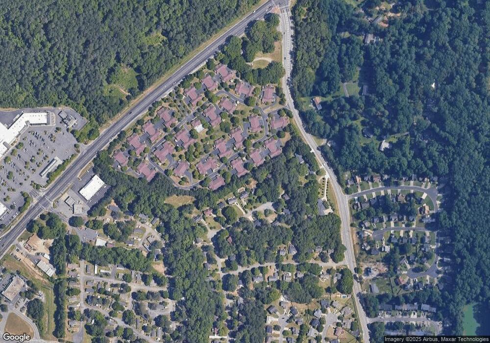
Map
Nearby Homes
- 1927 Kolb Farm Cir SW Unit 90
- 1830 Kolb Farm Cir SW Unit 7
- 1906 Kolb Farm Cir SW Unit 51
- 1951 Bergerac Ct SW
- 1481 Chapel Hill Ln SW
- 1472 Chapel Hill Ln SW
- 1784 Hammond Woods Cir SW
- 1799 Hammond Woods Cir SW
- 1226 Cumberland Creek Place SW
- 1681 Hammond Woods Cir SW
- 1830 MacLand Rd SW
- 2002 MacLand Square Dr Unit 1
- 2028 MacLand Square Dr Unit 4
- 1589 Hammond Woods Cir SW
- 1533 Fallen Leaf Dr SW
- 1946 MacLand Rd SW
- 1756 Kimberly Dr SW
- 1646 Desford Ct SW
- 1952 Freestone Way
- 2379 Moseley Place SW
- 1858 Kolb Farm Cir SW
- 1862 Kolb Farm Cir SW Unit 13
- 1860 Kolb Farm Cir SW Unit 16
- 1860 Kolb Farm Cir SW
- 1866 Kolb Farm Cir SW
- 1866 Kolb Farm Cir SW Unit 11
- 1868 Kolb Farm Cir SW Unit 1868
- 1872 Kolb Farm Cir SW
- 1872 Kolb Farm Cir SW Unit 1872
- 1870 Kolb Farm Cir SW
- 2030 Kolb Ridge Ct SW
- 2032 Kolb Ridge Ct SW
- 1856 Kolb Farm Cir SW Unit 18
- 1854 Kolb Farm Cir SW Unit 17
- 2028 Kolb Ridge Ct SW
- 1861 Kolb Farm Cir SW
- 1859 Kolb Farm Cir SW
- 1859 Kolb Farm Cir SW Unit 18
- 1867 Kolb Farm Cir SW Unit 67
- 1869 Kolb Farm Cir SW