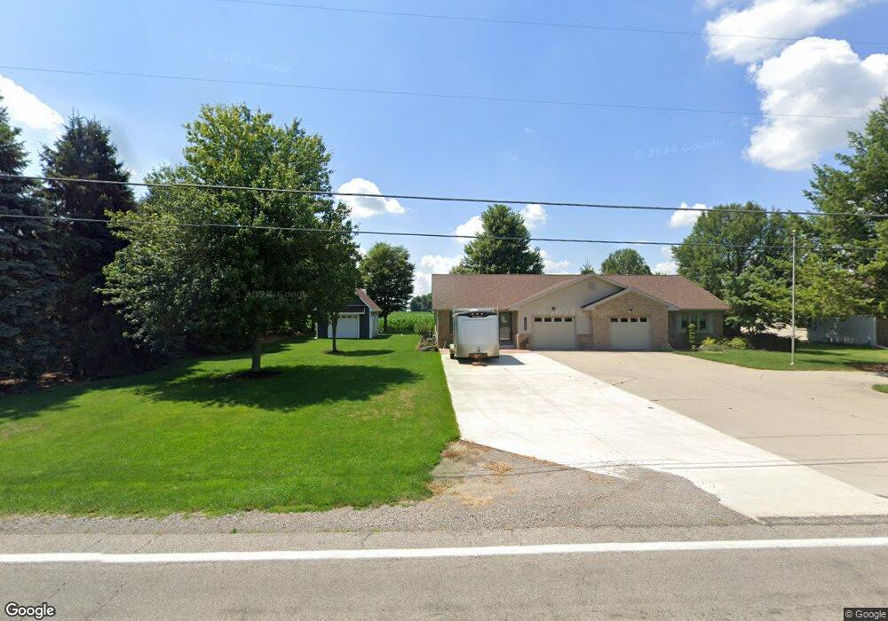
18645 State Route 2 Wauseon, OH 43567
Estimated Value: $157,000 - $215,000
2
Beds
1
Bath
1,184
Sq Ft
$155/Sq Ft
Est. Value
About This Home
This home is located at 18645 State Route 2, Wauseon, OH 43567 and is currently estimated at $183,180, approximately $154 per square foot. 18645 State Route 2 is a home located in Fulton County with nearby schools including Pettisville Elementary School, Pettisville High School, and New Horizons Academy at Sara's Garden.
Ownership History
Date
Name
Owned For
Owner Type
Purchase Details
Closed on
May 17, 2021
Sold by
Rice Reid R and Rice Morgan N
Bought by
Matthews Mark and Matthews Ruth
Current Estimated Value
Purchase Details
Closed on
Nov 10, 2020
Sold by
Rice Reid R and Rice Morgan N
Bought by
Rice Reid R and Rice Morgan N
Purchase Details
Closed on
Jan 8, 2015
Sold by
Richer Eric and Richer Ami M
Bought by
Rice Reid R
Purchase Details
Closed on
Apr 26, 2005
Sold by
Westhoven Lois Ann
Bought by
Richer Eric
Home Financials for this Owner
Home Financials are based on the most recent Mortgage that was taken out on this home.
Original Mortgage
$91,375
Interest Rate
6.06%
Mortgage Type
Fannie Mae Freddie Mac
Purchase Details
Closed on
Jan 3, 1996
Sold by
King Delbert
Bought by
Whitaker Dorothy and Westhoven Lois A
Create a Home Valuation Report for This Property
The Home Valuation Report is an in-depth analysis detailing your home's value as well as a comparison with similar homes in the area
Home Values in the Area
Average Home Value in this Area
Purchase History
| Date | Buyer | Sale Price | Title Company |
|---|---|---|---|
| Matthews Mark | $125,000 | None Available | |
| Rice Reid R | -- | None Available | |
| Rice Reid R | $94,500 | Merestone Title Agency | |
| Richer Eric | $107,500 | -- | |
| Whitaker Dorothy | $70,500 | -- |
Source: Public Records
Mortgage History
| Date | Status | Borrower | Loan Amount |
|---|---|---|---|
| Previous Owner | Richer Eric | $91,375 |
Source: Public Records
Tax History Compared to Growth
Tax History
| Year | Tax Paid | Tax Assessment Tax Assessment Total Assessment is a certain percentage of the fair market value that is determined by local assessors to be the total taxable value of land and additions on the property. | Land | Improvement |
|---|---|---|---|---|
| 2024 | $2,053 | $44,520 | $3,640 | $40,880 |
| 2023 | $2,203 | $44,520 | $3,640 | $40,880 |
| 2022 | $2,242 | $38,610 | $3,050 | $35,560 |
| 2021 | $2,245 | $38,610 | $3,050 | $35,560 |
| 2020 | $2,275 | $38,610 | $3,050 | $35,560 |
| 2019 | $2,107 | $35,220 | $3,050 | $32,170 |
| 2018 | $1,847 | $35,220 | $3,050 | $32,170 |
| 2017 | $1,829 | $35,220 | $3,050 | $32,170 |
| 2016 | $1,842 | $32,280 | $3,050 | $29,230 |
| 2015 | $1,645 | $32,280 | $3,050 | $29,230 |
| 2014 | $1,577 | $32,280 | $3,050 | $29,230 |
| 2013 | $1,824 | $34,060 | $2,910 | $31,150 |
Source: Public Records
Map
Nearby Homes
- 4427 County Road 19
- 17020 State Route 2
- 2820 County Road 19
- 16020 County Road D
- 15819 County Road D
- 744 Fairway Dr
- 749 Parkside Dr
- 604 W Leggett St
- 16396 County Road H
- 448 Dwight Ave
- 420 Clover Ln
- 804 Murbach St
- 208 N Brunell St
- 221 Farmington Rd
- 263 W Chestnut St
- 411 Clover Ln
- 234 W Chestnut St
- 227 Wabash St
- 1270 S Park Ln
- 1235 N Ottokee St
- 18645 St Rt 2
- 18661 State Route 2
- 18661 St Rt 2
- 18661 Ohio 2
- 18643 State Route 2
- 18671 State Route 2
- 18689 State Route 2
- 18689 Ohio 2
- 18691 State Route 2
- 18593 State Route 2
- 18713 State Route 2
- 18735 State Route 2
- 18767 State Route 2
- 18767 Ohio 2
- 18789 State Route 2
- 18789 St Rt 2
- 18811 State Route 2
- 18851 State Route 2
- 18871 State Route 2
- 18871 St Rt 2